Babuyan
| Babuyan | ||
 L'archipel Babuyan, avec l'île Babuyan au nord | ||
| Géographie | ||
|---|---|---|
| Pays | ||
| Archipel | Îles Babuyan | |
| Localisation | Mer de Chine méridionale | |
| Coordonnées | 19° 31′ 20″ N, 121° 57′ 13″ E | |
| Superficie | 100 km2 | |
| Point culminant | Mont Pangasun (en) (1 080 m) | |
| Administration | ||
| Province | Cagayan | |
| Démographie | ||
| Population | 1 423 hab. (2010) | |
| Densité | 14,23 hab./km2 | |
| Autres informations | ||
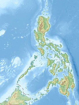
| Géolocalisation sur la carte : Philippines
| ||
| Île aux Philippines | ||
| modifier |
||
Babuyan, parfois appelée Babuyan Claro ou Curuga Mabuyan, le clairvoyant, est une île volcanique[1]de la mer de Chine méridionale faisant partie de l'archipel des îles Babuyan au nord des Philippines.
Sa population était de 1 423 habitants en 2010. L'île fait environ 10 km de large sur 13 km de long soit 100 km²[2].
On y trouve plusieurs volcans, dont le volcan Smith (en) de 688 m d'altitude, et le Mont Pangasun (en) de 1080 m.

Notes et références[modifier | modifier le code]
- Babuyan Claro Global Volcanism Program, Smithsonian Institution
- Genevieve Broad et Carl Oliveros, « Biodiversity and Conservation Priority Setting in the Babuyan Islands, Philippines », Sylvatrop: The Technical Journal of Philippine Ecosystems and Natural Resources, vol. 15, nos 1–2, , p. 1–30 (lire en ligne)

