
Fichier:Canada Alberta location map 2.svg

Taille de cet aperçu PNG pour ce fichier SVG : 486 × 599 pixels. Autres résolutions : 195 × 240 pixels | 389 × 480 pixels | 623 × 768 pixels | 831 × 1 024 pixels | 1 662 × 2 048 pixels | 1 512 × 1 863 pixels.
Fichier d’origine (Fichier SVG, nominalement de 1 512 × 1 863 pixels, taille : 736 kio)
Ce fichier et sa description proviennent de Wikimedia Commons.
| Description |
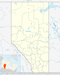
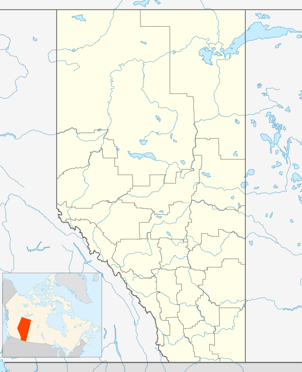
Deutsch: Positionskarte von Alberta, Kanada
Quadratische Plattkarte, N-S-Streckung 170 %. Geographische Begrenzung der Karte:
English: Location map of Alberta, Canada, showing the 19 census divisions.
Equirectangular projection, N/S stretching 170%. Geographic limits of the map:
Español: Divisiones censales de Alberta
Français : Les divisions de recensement de l'Alberta
Italiano: Divisioni censuarie dell'Alberta |
| Date | |
| Source | Travail personnel, File:Canada Alberta location map.svg by NordNordWest |
| Auteur | Hanhil (talk) 05:35, 24 September 2009 (UTC) |
| Autorisation (Réutilisation de ce fichier) |
Moi, en tant que détenteur des droits d’auteur sur cette œuvre, je la publie sous la licence suivante : Ce fichier est disponible selon les termes de la licence Creative Commons Attribution – Partage dans les Mêmes Conditions 3.0 (non transposée).
|
Historique du fichier
Cliquer sur une date et heure pour voir le fichier tel qu'il était à ce moment-là.
| Date et heure | Vignette | Dimensions | Utilisateur | Commentaire | |
|---|---|---|---|---|---|
| actuel | 24 septembre 2009 à 07:35 | | 1 512 × 1 863 (736 kio) | Hanhil | {{Information |Description= {{de|Positionskarte von Alberta, Kanada}} Quadratische Plattkarte, N-S-Streckung 170 %. Geographische Begrenzung der Karte: * N: 60.3° N * S: 48.7° N * W: 123.0° W * O: 107.0° W {{en|Location |
Utilisation du fichier
Plus de 100 pages utilisent ce fichier. La liste suivante affiche seulement les 100 premières pages qui utilisent ce fichier. Une liste complète est disponible.
- 14e session du Comité du patrimoine mondial
- Airdrie (Canada)
- Archives provinciales d'Alberta
- Athabasca (Alberta)
- Aéroport international d'Edmonton
- Aéroport international de Calgary
- Banff
- Beaumont (Alberta)
- Bonnyville
- Brooks (Alberta)
- Brosseau (Alberta)
- Brûlé (Alberta)
- CBXFT-DT
- Calgary
- Calgary Tower
- Camrose
- Canmore
- Cardston
- Castor (Alberta)
- Cave and Basin
- Cold Lake (cité)
- Comté de Cardston
- Comté de Lac La Biche
- Comté de Northern Sunrise
- Comté de Strathcona
- Daysland
- District d'amélioration No 4
- Donnelly (Alberta)
- Drayton Valley
- Drumheller
- Duvernay (Alberta)
- Edmonton
- Fairmont Banff Springs
- Falher
- Fort La Biche
- Fort Macleod
- Fort McMurray
- Fort Saskatchewan (Alberta)
- Galaxyland
- Girouxville
- Grande Cache
- Grande Prairie
- Jasper (Alberta)
- Jeux olympiques d'hiver de 1988
- Killam (Alberta)
- Lacombe (Alberta)
- Lafond (Alberta)
- Lake Louise
- Leduc (Alberta)
- Legal (Alberta)
- Lethbridge
- Lloydminster
- Mallaig (Alberta)
- Marie Reine
- McLennan (Alberta)
- Medicine Hat
- Morinville
- Nampa (Alberta)
- Okotoks
- Olympic Oval
- Pincher Creek
- Plamondon (Alberta)
- Red Deer
- Rexall Place
- Rivière-la-Paix
- Rivière Qui Barre
- Rosalind
- Saint-Albert (Alberta)
- Saint-Isidore (Alberta)
- Saint-Lina
- Saint-Vincent (Alberta)
- Saint-Édouard (Alberta)
- Scotiabank Saddledome
- Sherwood Park
- Slave Lake
- Smoky River No 130
- Spruce Grove
- Stade McMahon
- Stade du Commonwealth
- Three Hills
- Thérien (Alberta)
- Tofield
- Tornade d'Edmonton
- Université Athabasca
- Université de Calgary
- Université de Lethbridge
- Université de l'Alberta
- Vegreville
- Viaduc de Lethbridge
- Viking (Alberta)
- Vélodrome d'Argyll
- Wainwright (Alberta)
- Wainwright No 61
- Warburg (Alberta)
- West Edmonton Mall
- Westlock (Alberta)
- Wetaskiwin
- Wood Buffalo
- Modèle:Carte/Alberta
- Modèle:Géolocalisation/Alberta
Voir plus de liens vers ce fichier.
Usage global du fichier
Les autres wikis suivants utilisent ce fichier :
- Utilisation sur af.wikipedia.org
- Utilisation sur ar.wikipedia.org
- Utilisation sur ast.wikipedia.org
- Utilisation sur azb.wikipedia.org
- Utilisation sur ba.wikipedia.org
- Utilisation sur bg.wikipedia.org
- Utilisation sur bs.wikipedia.org
- Utilisation sur ceb.wikipedia.org
- Utilisation sur ch.wikipedia.org
- Utilisation sur ckb.wikipedia.org
- Utilisation sur cs.wikipedia.org
- Utilisation sur en.wikipedia.org
- Utilisation sur eo.wikipedia.org
Voir davantage sur l’utilisation globale de ce fichier.