Cambus
Apparence
Cambus
| |||||
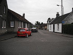
 Rue de Cambus. | |||||
| Administration | |||||
|---|---|---|---|---|---|
| Pays | |||||
| Nation | |||||
| Council area | Clackmannanshire | ||||
| Région de lieutenance | Clackmannanshire | ||||
| Force de police | Police Scotland | ||||
| Incendie | Scottish Fire and Rescue Service | ||||
| Ambulance | Scottish Ambulance Service | ||||
| Code postal | FK10 | ||||
| Géographie | |||||
| Coordonnées | 56° 07′ 25″ nord, 3° 50′ 39″ ouest | ||||
| Localisation | |||||
| Géolocalisation sur la carte : Royaume-Uni
Géolocalisation sur la carte : Royaume-Uni
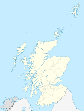
Géolocalisation sur la carte : Écosse
Géolocalisation sur la carte : Clackmannanshire
| |||||
| modifier |
|||||
Cambus (An Camas en gaélique (gd)) est un village d'Écosse, situé dans le council area et région de lieutenance du Clackmannanshire. Elle est située sur la rive nord du Forth, à 6 kilomètres au nord de Stirling[1].
Notes et références
[modifier | modifier le code]- (en) William Hughes, The geography of British history: a geographical description of the British Islands at successive periods from the earliest times to the present day: with a sketch of the commencement of colonisation on the part of the English nation, Longman, Green, Longman, Roberts, & Green, (lire en ligne), p. 541


