Mooa
Apparence
| Mooa | ||||
 Vue de l'île, le 24 novembre 2009. | ||||
| Géographie | ||||
|---|---|---|---|---|
| Pays | ||||
| Archipel | Shetland | |||
| Localisation | Océan Atlantique | |||
| Coordonnées | 60° 21′ 52″ N, 0° 54′ 00″ O | |||
| Point culminant | 16 m | |||
| Géologie | Île continentale | |||
| Administration | ||||
| Nation constitutive | Écosse | |||
| Council Area | Shetland | |||
| Démographie | ||||
| Population | Aucun habitant | |||
| Autres informations | ||||
| Découverte | Préhistoire | |||
| Fuseau horaire | UTC+0 | |||
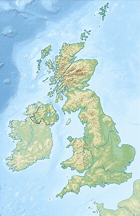
| Géolocalisation sur la carte : Royaume-Uni
Géolocalisation sur la carte : Écosse
Géolocalisation sur la carte : Shetland
| ||||
| Îles au Royaume-Uni | ||||
| modifier |
||||
Mooa est une île située à environ 1,5 km à l'est de l'île de Whalsay, dans l'archipel des Shetland, en Écosse.
Description
[modifier | modifier le code]Il s'agit d'une île inhabitée située à environ 500 m au nord-est de l'île d'Isbister Holm, et à une vingtaine de mètres au sud-ouest de l'île de Nista. Son point culminant est à 16 mètres (54 feet high)[1].
Notes et références
[modifier | modifier le code]- United States – Hydrographic Office, Sailing Directions for the North and East Coasts of Scotland : Cape Wrath to Fife Ness and Including the Orkney, Shetland and Faeroe Islands, Volume 34, U.S. Government Printing Office, 1950, p. 311.
Voir aussi
[modifier | modifier le code]Article annexe
[modifier | modifier le code]Bibliographie
[modifier | modifier le code]- Hamish Haswell-Smith, The Scottish Islands, Edinburgh, Canongate, 2004. (ISBN 1841954543)


