
Fichier:Highland UK location map.svg

Taille de cet aperçu PNG pour ce fichier SVG : 556 × 600 pixels. Autres résolutions : 222 × 240 pixels | 445 × 480 pixels | 712 × 768 pixels | 949 × 1 024 pixels | 1 898 × 2 048 pixels | 1 320 × 1 424 pixels.
Fichier d’origine (Fichier SVG, nominalement de 1 320 × 1 424 pixels, taille : 5,26 Mio)
Ce fichier et sa description proviennent de Wikimedia Commons.
| Description |
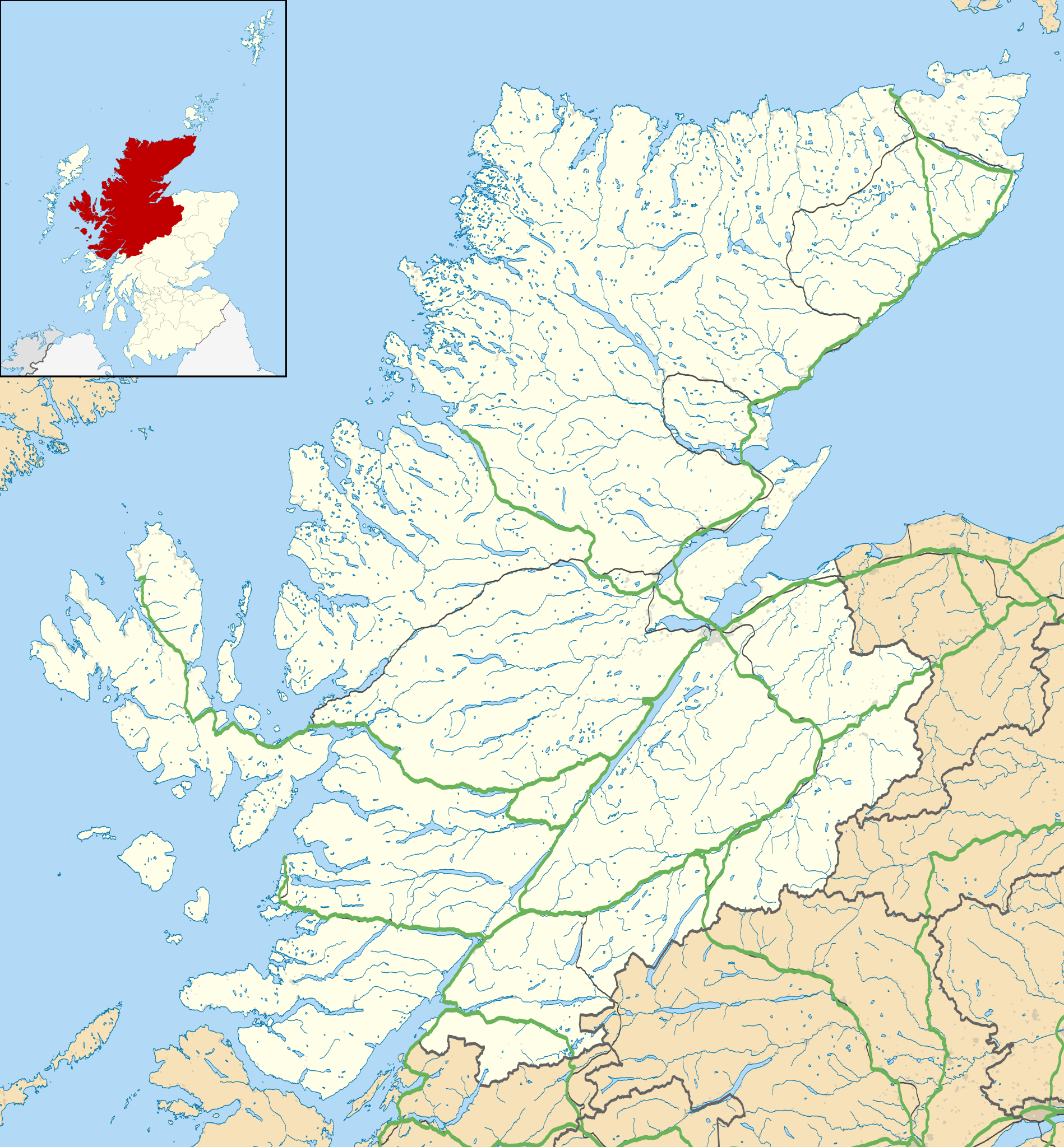
Blank map of Highland, UK with the following information shown:
Equirectangular map projection on WGS 84 datum, with N/S stretched 180% Geographic limits:
|
| Date | |
| Source |
|
| Auteur | Nilfanion, created using Ordnance Survey data |
| Autorisation (Réutilisation de ce fichier) |
Ce fichier est disponible selon les termes de la licence Creative Commons Attribution – Partage dans les Mêmes Conditions 3.0 (non transposée). Attribution: Contains Ordnance Survey data © Crown copyright and database right
|
| Autres versions | File:Highland UK blank map.svg - Blank map |
Historique du fichier
Cliquer sur une date et heure pour voir le fichier tel qu'il était à ce moment-là.
| Date et heure | Vignette | Dimensions | Utilisateur | Commentaire | |
|---|---|---|---|---|---|
| actuel | 26 septembre 2010 à 22:20 | | 1 320 × 1 424 (5,26 Mio) | Nilfanion | {{Information |Description=Blank map of Highland, UK with the following information shown: *Administrative borders *Coastline, lakes and rivers *Roads and railways *Urban areas Equirectangular map projection on WGS 84 datum, |
Utilisation du fichier
Les 81 pages suivantes utilisent ce fichier :
- Achachork
- Acharacle
- Altnaharra
- An Sròm Mòr
- Ardgour
- Auldearn
- Balblair
- Ballachulish
- Ben Nevis (distillerie)
- Bracadale
- Broadford (Écosse)
- Brora
- Bualintur
- Caledonian Stadium
- Canisbay
- Château d'Armadale
- Château d'Urquhart
- Château de Dunrobin
- Château de Dunvegan
- Clynelish
- Corpach
- Cromarty
- Croy (Écosse)
- Dalmore
- Dalwhinnie
- Dingwall (Écosse)
- Dornie
- Dornoch
- Drumnadrochit
- Duisky
- Duntulm
- Dunvegan
- Ellishadder
- Eriboll
- Escalier de Neptune
- Fassfern
- Flodigarry
- Fort Augustus
- Fort William (Écosse)
- Gare d'Altnabreac
- Gare d'Inverness
- Glen Ord
- Glencoe (Highland)
- Glenmorangie
- Golspie
- Grantown-on-Spey
- HMS Tantivy (P319)
- Invergarry
- Invergordon
- Inverlochy
- Inverness (Écosse)
- John o' Groats
- Kingussie
- Kinlochleven
- Kyle of Lochalsh
- Kyleakin
- Liste des sites mégalithiques du Highland
- Mallaig (Écosse)
- Milovaig
- Nairn
- Nethy Bridge
- Old Pulteney
- Pont de Skye
- Portree
- Sconser
- Shiel Bridge
- Sligachan
- Spean Bridge
- Staffin
- Strontian
- Talisker
- Teaninich
- Telford Street Park
- Thurso (Écosse)
- Torabhaig
- Tòrr nan Clàr
- Uig
- Ullapool
- Victoria Park (Dingwall)
- Wick (Écosse)
- Modèle:Géolocalisation/Highland
Usage global du fichier
Les autres wikis suivants utilisent ce fichier :
- Utilisation sur ar.wikipedia.org
- Utilisation sur arz.wikipedia.org
- Utilisation sur ba.wikipedia.org
- Utilisation sur bg.wikipedia.org
- Utilisation sur ceb.wikipedia.org
- Utilisation sur de.wikipedia.org
- Kernkraftwerk Dounreay
- Skye Bridge
- Caledonian Stadium
- Neist Point
- Victoria Park (Dingwall)
- Loch Eriboll
- Tarbat Ness Lighthouse
- Ardnamurchan Lighthouse
- Sandwood Bay
- Vorlage:Positionskarte Schottland Highland
- Flughafen Inverness
- Culloden Viaduct
- Fearn Airfield
- Bone Caves
- Wick Airport
- Flugplatz Broadford
- Flugplatz Plockton
- Affric-Beauly-Kraftwerke
- Cromarty Lighthouse
- Leuchtturm Dunnet Head
- Telford Street Park
- Chanonry Lighthouse
- Noss Head Lighthouse
- Cape Wrath Lighthouse
- Utilisation sur en.wikipedia.org
Voir davantage sur l’utilisation globale de ce fichier.