
Fichier:Rendsburg-map.png
Taille de cet aperçu : 794 × 600 pixels. Autres résolutions : 318 × 240 pixels | 635 × 480 pixels | 1 017 × 768 pixels | 1 280 × 967 pixels | 1 694 × 1 280 pixels.
Fichier d’origine (1 694 × 1 280 pixels, taille du fichier : 128 kio, type MIME : image/png)
Ce fichier et sa description proviennent de Wikimedia Commons.
Description
| Description |
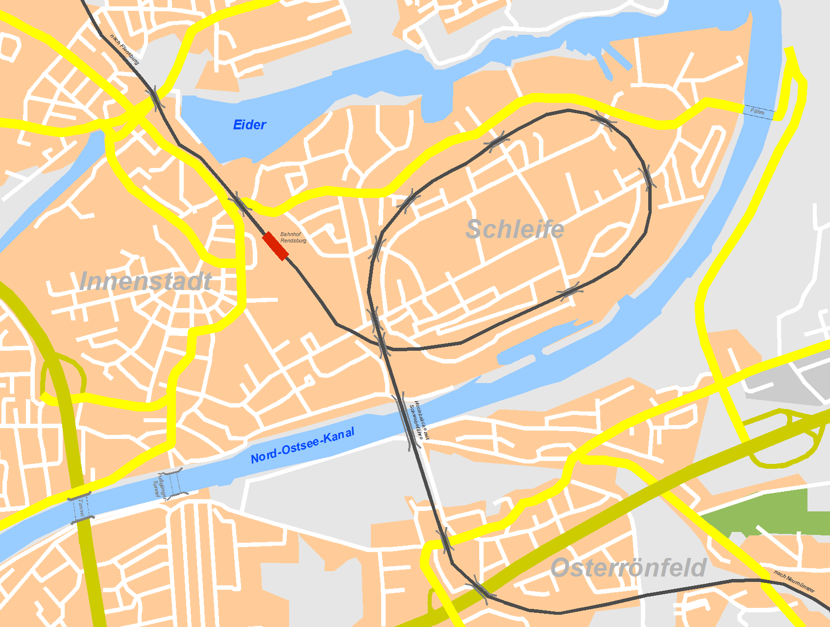
Deutsch: Karte von Rendsburg mit schematischer Darstellung der Bahnlinie und der Kanalquerungen English: map of Rendsburg, Germany with schematic depictation of railway line and Kiel channel crossings |
| Date | 5 juin 2007 (date de téléversement) |
| Source | Travail personnel |
| Auteur | Inselmann |
Conditions d’utilisation
Moi, en tant que détenteur des droits d’auteur sur cette œuvre, je la publie sous les licences suivantes :

|
Vous avez la permission de copier, distribuer et modifier ce document selon les termes de la GNU Free Documentation License version 1.2 ou toute version ultérieure publiée par la Free Software Foundation, sans sections inaltérables, sans texte de première page de couverture et sans texte de dernière page de couverture. Un exemplaire de la licence est inclus dans la section intitulée GNU Free Documentation License. |
| Ce fichier est disponible selon les termes de la licence Creative Commons Attribution – Partage dans les Mêmes Conditions 3.0 (non transposée). | ||
| ||
| Ce bandeau de licence a été ajouté à ce fichier dans le cadre de la procédure de mise à jour des licences des images sous GFDL. |
Vous pouvez choisir l’une de ces licences.
Historique du fichier
Cliquer sur une date et heure pour voir le fichier tel qu'il était à ce moment-là.
| Date et heure | Vignette | Dimensions | Utilisateur | Commentaire | |
|---|---|---|---|---|---|
| actuel | 5 juin 2007 à 19:55 | | 1 694 × 1 280 (128 kio) | Inselmann | |
| 5 juin 2007 à 18:38 |  | 1 718 × 1 288 (130 kio) | Inselmann | ||
| 5 juin 2007 à 15:41 |  | 1 712 × 1 290 (187 kio) | Inselmann | {{Information |Description=Karte von Rendsburg mit schematischer Darstellung der Bahnlinie und der Kanalquerungen |Source=selbst erstellt/own work |Date=05.06.2007 |Author=Inselmann }} |
Utilisation du fichier
La page suivante utilise ce fichier :
Usage global du fichier
Les autres wikis suivants utilisent ce fichier :
- Utilisation sur ba.wikipedia.org
- Utilisation sur cs.wikipedia.org
- Utilisation sur de.wikipedia.org
- Utilisation sur en.wikipedia.org
- Utilisation sur fi.wikipedia.org
- Utilisation sur hu.wikipedia.org
- Utilisation sur ja.wikipedia.org
- Utilisation sur nl.wikipedia.org
- Utilisation sur ru.wikipedia.org
- Utilisation sur www.wikidata.org