
Fichier:NASA Hawaiian Islands main islands.png

Taille de cet aperçu : 800 × 432 pixels. Autres résolutions : 320 × 173 pixels | 640 × 346 pixels | 948 × 512 pixels.
Fichier d’origine (948 × 512 pixels, taille du fichier : 79 kio, type MIME : image/png)
Ce fichier et sa description proviennent de Wikimedia Commons.
This file was cropped from the original NASA tif[1] copie d'archive at the Wayback Machine
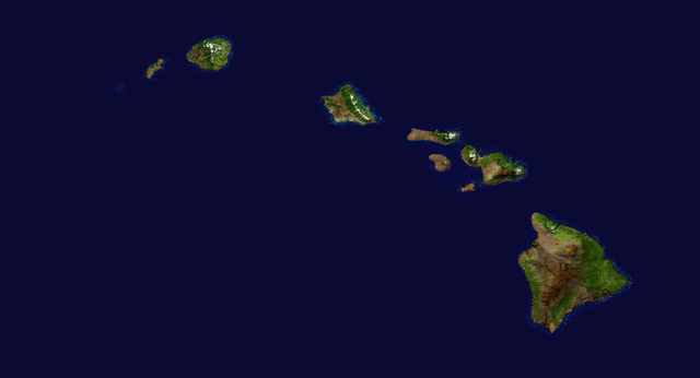
| Description | Satellite composition of the whole Earth's surface. |
| Date | image released 11. Feb. 2002 |
| Source |
NASA - Visible Earth, image cropped by HighInBC |
| Auteur | NASA/Goddard Space Flight Center |
| Autorisation (Réutilisation de ce fichier) |
Copyright information from http://visibleearth.nasa.gov/useterms.php - With the exception of images produced by the SeaWiFS, QuickBird, and IKONOS instruments all images on the Visible Earth are governed by NASA's Terms of Use below. [...] For all non-private uses, NASA's Terms Of Use are as follows: 1. The imagery is free of licensing fees 2. NASA requires that they be provided a credit as the owners of the imagery [...] |
| Ce fichier provient de la NASA. Sauf exception, les documents créés par la NASA ne sont pas soumis à copyright. Pour plus d'informations, voir la politique de copyright de la NASA. | ||
 |
Attention :
|
Historique du fichier
Cliquer sur une date et heure pour voir le fichier tel qu'il était à ce moment-là.
| Date et heure | Vignette | Dimensions | Utilisateur | Commentaire | |
|---|---|---|---|---|---|
| actuel | 6 septembre 2006 à 21:28 | | 948 × 512 (79 kio) | Kahuroa | This file was cropped from the original NASA tif[http://visibleearth.nasa.gov/images/2433/land_shallow_topo_west.tif] {{Information| |Description = Satellite composition of the whole Earth's surface. |Source = NASA - Visible Earth, image cropped by [[Use |
Utilisation du fichier
La page suivante utilise ce fichier :
Usage global du fichier
Les autres wikis suivants utilisent ce fichier :
- Utilisation sur it.wikipedia.org
- Utilisation sur it.wikibooks.org
- Utilisation sur it.wikiversity.org
- Utilisation sur lmo.wikipedia.org
- Utilisation sur pms.wikipedia.org