
Fichier:大洋.png

Taille de cet aperçu : 735 × 600 pixels. Autres résolutions : 294 × 240 pixels | 588 × 480 pixels | 756 × 617 pixels.
Fichier d’origine (756 × 617 pixels, taille du fichier : 27 kio, type MIME : image/png)
Ce fichier et sa description proviennent de Wikimedia Commons.
Description
| Description |
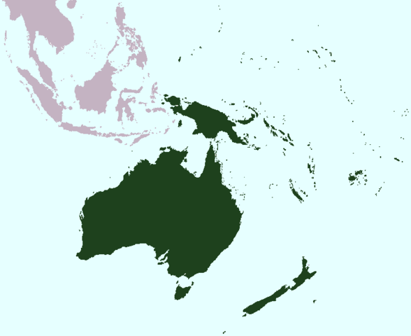
English: Map of Oceania |
| Date | |
| Source | A variation of commons' file Image:World Map Blank.svg |
| Auteur | user:S19991002 |
| Autorisation (Réutilisation de ce fichier) |
CC-BY-3.0 |
Conditions d’utilisation
Moi, en tant que détenteur des droits d’auteur sur cette œuvre, je la publie sous la licence suivante :
Ce fichier est disponible selon les termes de la licence Creative Commons Attribution 3.0 Non transposée.
- Vous êtes libre :
- de partager – de copier, distribuer et transmettre cette œuvre
- d’adapter – de modifier cette œuvre
- Sous les conditions suivantes :
- paternité – Vous devez donner les informations appropriées concernant l'auteur, fournir un lien vers la licence et indiquer si des modifications ont été faites. Vous pouvez faire cela par tout moyen raisonnable, mais en aucune façon suggérant que l’auteur vous soutient ou approuve l’utilisation que vous en faites.
Historique du fichier
Cliquer sur une date et heure pour voir le fichier tel qu'il était à ce moment-là.
| Date et heure | Vignette | Dimensions | Utilisateur | Commentaire | |
|---|---|---|---|---|---|
| actuel | 25 mai 2008 à 05:43 | | 756 × 617 (27 kio) | S19991002 | {{Information |Description=Map of Oceania |Source=A variation of commons' file ''Image:World Map Blank.svg'' |Date=25/5/2008 |Author=user:S19991002 |Permission=CC-BY-3.0 |other_versions= }} |
Utilisation du fichier
Aucune page n’utilise ce fichier.
Usage global du fichier
Les autres wikis suivants utilisent ce fichier :
- Utilisation sur en.wikipedia.org
- Ashmore and Cartier Islands
- Baker Island
- Christmas Island
- Coral Sea Islands
- Cook Islands
- Telecommunications in the Cook Islands
- Fiji
- French Polynesia
- Federated States of Micronesia
- Guam
- Heard Island and McDonald Islands
- Howland Island
- History of Oceania
- Papua (province)
- Kiribati
- History of Kiribati
- Little penguin
- Mariana Trench
- Marshall Islands
- Micronesia
- Talk:Margaret Mead
- Niue
- Nauru
- New Caledonia
- Talk:New Zealand
- Northern Mariana Islands
- Norfolk Island
- New South Wales
- Oceania
- Palau
- Palmyra Atoll
- Pitcairn Islands
- South Australia
- Samoa
- Tasmania
- Tokelau
- Tonga
- Tuvalu
- Demographics of Tuvalu
- Vanuatu
- Wake Island
- Wallis and Futuna
- Western Australia
- Talk:French language
- APNIC
- Politics of Fiji
- Talk:Monarchy of the United Kingdom
- Talk:Xanana Gusmão
- History of Tuvalu
- Majuro
Voir davantage sur l’utilisation globale de ce fichier.