
Fichier:Udayapur District in Nepal 2015.svg

Fichier d’origine (Fichier SVG, nominalement de 1 100 × 721 pixels, taille : 812 kio)
Ce fichier et sa description proviennent de Wikimedia Commons.
Description
| Description |
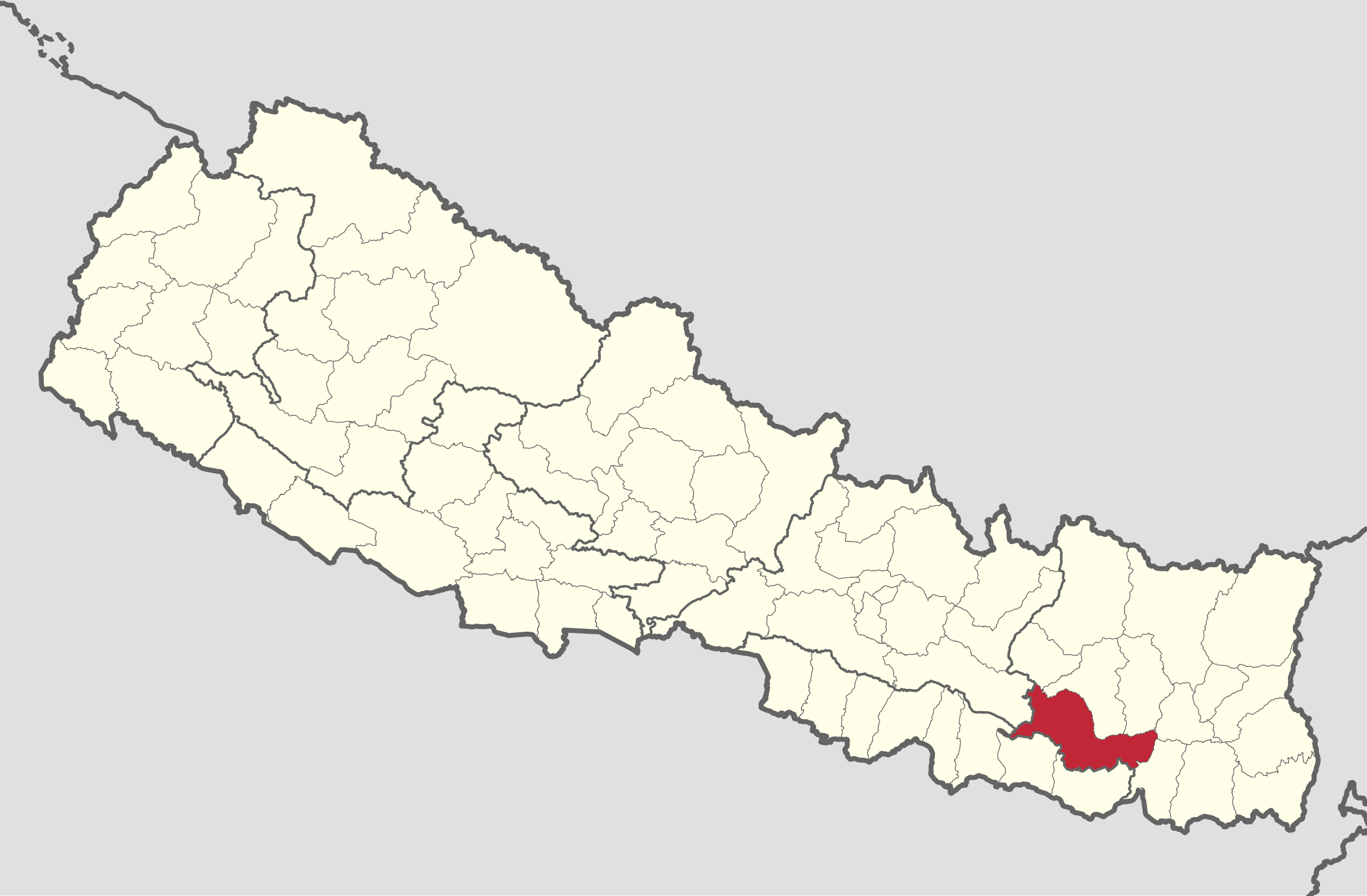
Deutsch: Distrikt Udayapur in Nepal, Stand 2015 |
| Date | |
| Source |
Travail personnel avec:
|
| Auteur | NordNordWest |

|
Cette carte a été créée ou améliorée dans le Kartenwerkstatt (Atelier cartographique allemand). Vous pouvez également y proposer des cartes à améliorer.
|
Conditions d’utilisation
Usage de cette carte :

Pour un usage gratuit, je recommande de respecter les conditions suivantes de la licence :
1. Inclure mon nom comme indiqué ci-dessus : NordNordWest,
2. une copie ou l'adresse Internet (Identifiant Uniforme de Ressource) du contrat : https://creativecommons.org/licenses/by-sa/3.0/de/legalcode,
3. le titre de l’œuvre originale,
4. dans le cas d'une œuvre dérivée, indiquer les éléments identifiant l'utilisation de l’œuvre dite dérivée.
En cas de manquement aux conditions de la licence, les droits d'utilisation expirent automatiquement. Si vous avez des questions ou désirez des conditions différentes, merci de me contacter par courriel à l'adresse nnwest, ou sur ma page de discussion.
![]() t-online.de
t-online.de
- Vous êtes libre :
- de partager – de copier, distribuer et transmettre cette œuvre
- d’adapter – de modifier cette œuvre
- Sous les conditions suivantes :
- paternité – Vous devez donner les informations appropriées concernant l'auteur, fournir un lien vers la licence et indiquer si des modifications ont été faites. Vous pouvez faire cela par tout moyen raisonnable, mais en aucune façon suggérant que l’auteur vous soutient ou approuve l’utilisation que vous en faites.
- partage à l’identique – Si vous modifiez, transformez, ou vous basez sur cette œuvre, vous devez distribuer votre contribution sous la même licence ou une licence compatible avec celle de l’original.

Historique du fichier
Cliquer sur une date et heure pour voir le fichier tel qu'il était à ce moment-là.
| Date et heure | Vignette | Dimensions | Utilisateur | Commentaire | |
|---|---|---|---|---|---|
| actuel | 20 novembre 2019 à 21:51 | | 1 100 × 721 (812 kio) | NordNordWest | == {{int:filedesc}} == {{Information |Description= {{de|1=Distrikt Udayapur in Nepal, Stand 2015}} |Source={{Own using}} * United States National Imagery and Mapping Agency data |Date=2019-11-20 |Author={{U|NordNordWest}} |Permission= |other_versions= }} {{Kartenwerkstatt}} == {{int:license-header}} == {{User:NordNordWest/LicenceMap}} Category:SVG locator maps of districts in Nepal (location map scheme) Category:Files by NordNordWest |
Utilisation du fichier
Les 2 pages suivantes utilisent ce fichier :
Usage global du fichier
Les autres wikis suivants utilisent ce fichier :
- Utilisation sur bh.wikipedia.org
- Utilisation sur es.wikipedia.org
- Utilisation sur it.wikipedia.org
- Triyuga
- Yayankhu
- Valaya Danda
- Triveni (Udayapur)
- Thoksila
- Thanagaun
- Tawashree
- Tapeswori
- Tamlichha
- Sundarpur (Udayapur)
- Sirise
- Sithdipur
- Shorung Chabise
- Saune
- Rupatar
- Risku
- Rauta
- Okhale
- Katari
- Jalpachilaune
- Pokhari (Udayapur)
- Pachchawati
- Nametar
- Mainamiani
- Limpatar
- Lekhgau
- Lekhani (Udayapur)
- Laphagaun
- Khanbu
- Katunjebawala
- Jogidaha
- Dumre
- Basabote
- Janti
- Iname
- Hardeni
- Hadiya (Nepal)
- Chaudandi
- Bhuttar
- Beltar
Voir davantage sur l’utilisation globale de ce fichier.