
Fichier:US map - states-fr.png

Taille de cet aperçu : 800 × 542 pixels. Autres résolutions : 320 × 217 pixels | 640 × 434 pixels | 1 024 × 694 pixels | 1 480 × 1 003 pixels.
Fichier d’origine (1 480 × 1 003 pixels, taille du fichier : 304 kio, type MIME : image/png)
Ce fichier et sa description proviennent de Wikimedia Commons.
Description

|
Une version vectorielle de cette image existe, dans le format « SVG ». Si elle n’est pas inférieure, elle devrait être utilisée à la place de la présente version pour des affichages en plus grandes dimensions ou nécessitant une meilleure résolution.
File:US map - states-fr.png → File:Map of USA with state names fr.svg
Pour plus d’informations sur les images vectorielles, consultez la page de transition de Commons vers le format SVG. Voir aussi les informations à propos de la manière dont le logiciel MediaWiki gère les images au format SVG. |
 |
Conditions d’utilisation
Ce média est dans le domaine public des États-Unis d’Amérique car son auteur est l’administration américaine comme précisé dans le code fédéral au Titre 17, Chapitre 1, Section 105. Pour en savoir plus : droit d’auteur.
Attention : Ceci ne concerne que le travail du Gouvernement Fédéral et pas celui des États, ou d’une autre subdivision géographique ou politique du pays.
|
 | |
| Ce fichier a été identifié comme étant exempt de restrictions connues liées au droit d’auteur, y compris tous les droits connexes et voisins. | ||
Historique du fichier
Cliquer sur une date et heure pour voir le fichier tel qu'il était à ce moment-là.
| Date et heure | Vignette | Dimensions | Utilisateur | Commentaire | |
|---|---|---|---|---|---|
| actuel | 24 février 2006 à 07:50 | | 1 480 × 1 003 (304 kio) | Sting | Colour correction for the seas |
| 3 février 2006 à 02:40 |  | 1 480 × 1 003 (303 kio) | Sting | forgotten Canada | |
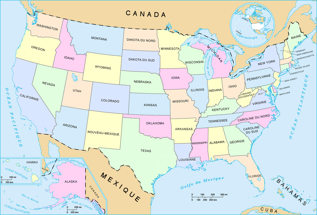
| 2 février 2006 à 23:58 |  | 1 480 × 1 003 (301 kio) | Sting | French-version map of the States of the United States. For the English version, see : Image:US_map_-_states.png. * '''Réalisée par :''' US Department of Interior * '''Source :''' National Atlas of the United States : http://nationalatlas.gov |
Utilisation du fichier
Les 2 pages suivantes utilisent ce fichier :
Usage global du fichier
Les autres wikis suivants utilisent ce fichier :
- Utilisation sur nl.wiktionary.org