
Fichier:USFederalRegions.svg

Taille de cet aperçu PNG pour ce fichier SVG : 800 × 518 pixels. Autres résolutions : 320 × 207 pixels | 640 × 414 pixels | 1 024 × 663 pixels | 1 280 × 828 pixels | 2 560 × 1 656 pixels | 1 530 × 990 pixels.
Fichier d’origine (Fichier SVG, nominalement de 1 530 × 990 pixels, taille : 194 kio)
Ce fichier et sa description proviennent de Wikimedia Commons.
Description
| Description |
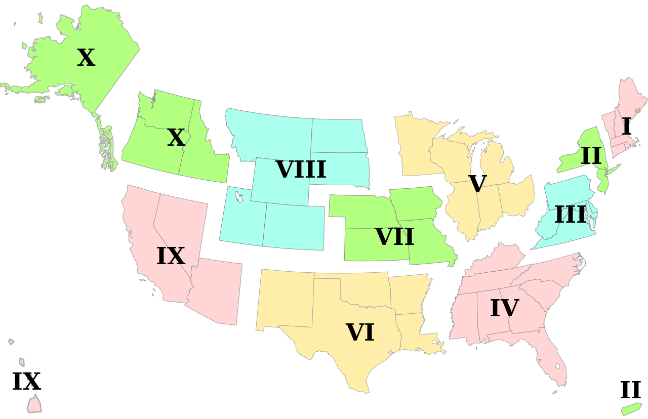
English: Vector version of federal regions based on File:Federal_Standard_Regions_map.png |
| Date | |
| Source | Travail personnel |
| Auteur | Belg4mit |
| Autres versions |
 |
Conditions d’utilisation
| Moi, propriétaire des droits d’auteur sur cette œuvre, la place dans le domaine public. Ceci s'applique dans le monde entier. Dans certains pays, ceci peut ne pas être possible ; dans ce cas : J’accorde à toute personne le droit d’utiliser cette œuvre dans n’importe quel but, sans aucune condition, sauf celles requises par la loi. |
Historique du fichier
Cliquer sur une date et heure pour voir le fichier tel qu'il était à ce moment-là.
| Date et heure | Vignette | Dimensions | Utilisateur | Commentaire | |
|---|---|---|---|---|---|
| actuel | 27 avril 2010 à 22:17 | | 1 530 × 990 (194 kio) | Belg4mit | Minor tweaking for thumbnail display, and label grouping |
| 27 avril 2010 à 22:02 |  | 1 530 × 990 (192 kio) | Belg4mit | larger font, fainter outlines, shifted continental US upwards Category:Maps Category:United States | |
| 27 avril 2010 à 21:39 |  | 1 530 × 990 (190 kio) | Belg4mit | {{Information |Description={{en|1=Vector version of federal regions based on http://en.wikipedia.org/wiki/File:Federal_Standard_Regions_map.png}} |Source={{own}} |Author=Belg4mit |Date=2010-04-27 |Permission= |other_versions=http://en.wi |
Utilisation du fichier
La page suivante utilise ce fichier :
Usage global du fichier
Les autres wikis suivants utilisent ce fichier :
- Utilisation sur ar.wikipedia.org
- Utilisation sur ast.wikipedia.org
- Utilisation sur en.wikipedia.org
- Utilisation sur es.wikipedia.org
- Utilisation sur ja.wikipedia.org
- Utilisation sur pt.wikipedia.org
- Utilisation sur zh.wikipedia.org