
Fichier:Midlothian UK relief location map.jpg
Taille de cet aperçu : 651 × 599 pixels. Autres résolutions : 261 × 240 pixels | 521 × 480 pixels | 834 × 768 pixels | 1 112 × 1 024 pixels | 2 005 × 1 846 pixels.
Fichier d’origine (2 005 × 1 846 pixels, taille du fichier : 329 kio, type MIME : image/jpeg)
Ce fichier et sa description proviennent de Wikimedia Commons.
| Description |
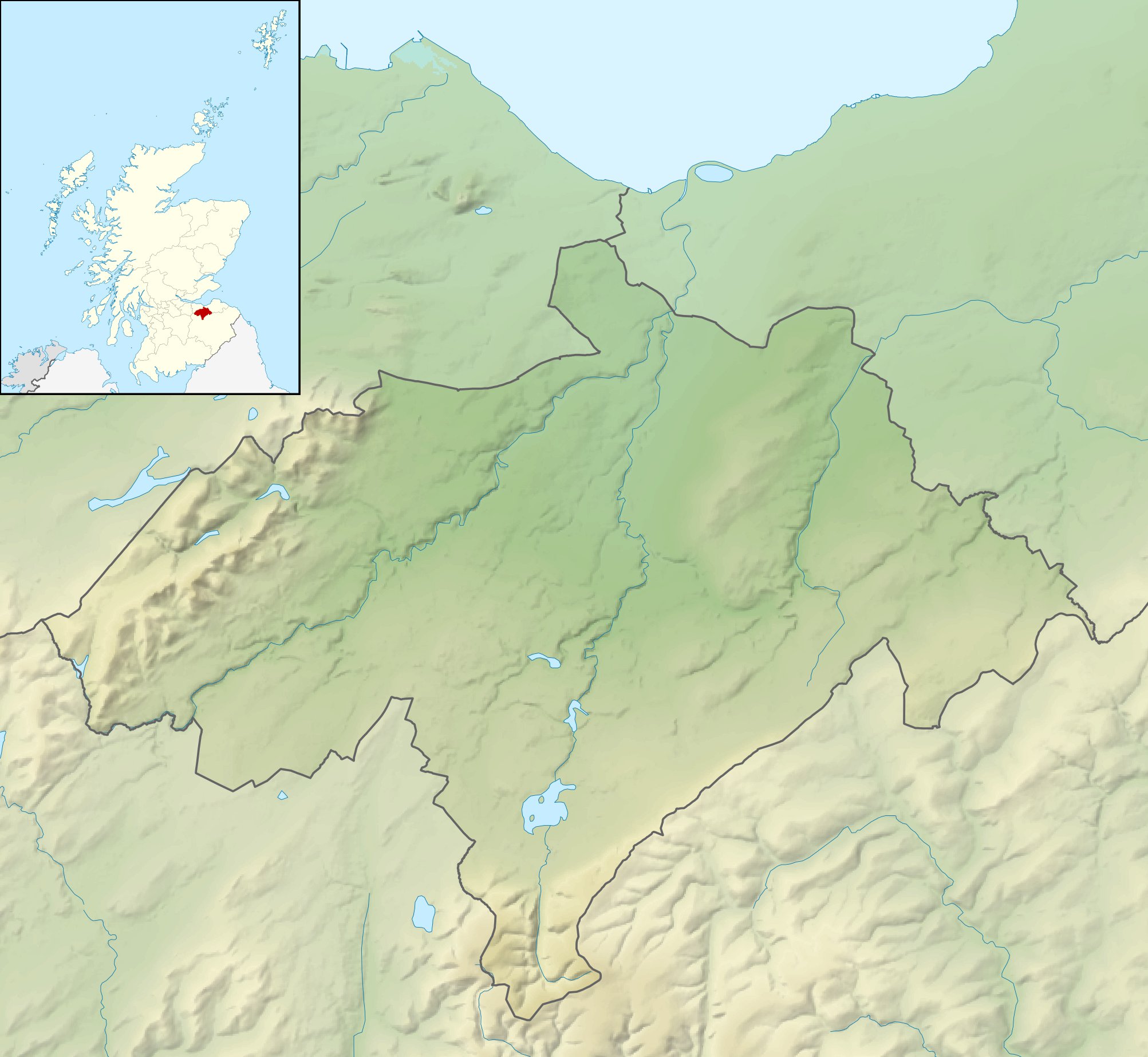
Relief map of Midlothian, UK. Equirectangular map projection on WGS 84 datum, with N/S stretched 175% Geographic limits:
|
| Date | |
| Source |
|
| Auteur | Nilfanion, created using Ordnance Survey data |
| Autorisation (Réutilisation de ce fichier) |
Ce fichier est disponible selon les termes de la licence Creative Commons Attribution – Partage dans les Mêmes Conditions 3.0 (non transposée). Attribution: Contains Ordnance Survey data © Crown copyright and database right
|
| Autres versions | File:Midlothian UK blank map.svg - Blank map |
Historique du fichier
Cliquer sur une date et heure pour voir le fichier tel qu'il était à ce moment-là.
| Date et heure | Vignette | Dimensions | Utilisateur | Commentaire | |
|---|---|---|---|---|---|
| actuel | 30 novembre 2011 à 14:23 | | 2 005 × 1 846 (329 kio) | Nilfanion | {{Information |Description=Relief map of Midlothian, UK. Equirectangular map projection on WGS 84 datum, with N/S stretched 175% Geographic limits: *West: 3.39W *East: 2.82W *North: 56.00N *South: 55.70N |Source=[[w:Ordnance Survey|Ordn |
Utilisation du fichier
Les 2 pages suivantes utilisent ce fichier :
Usage global du fichier
Les autres wikis suivants utilisent ce fichier :
- Utilisation sur ar.wikipedia.org
- Utilisation sur bg.wikipedia.org
- Utilisation sur ceb.wikipedia.org
- Utilisation sur de.wikipedia.org
- Roslin Castle
- North Esk Reservoir
- Gladhouse Reservoir
- Cock Rig
- Spittal Hill
- Green Law (Pentland Hills)
- Cap Law
- Braid Law
- West Kip
- Hare Hill
- East Kip
- South Black Hill
- Scald Law
- Carnethy Hill
- Turnhouse Hill
- Black Hill (Pentland Hills)
- Bell’s Hill
- Harbour Hill
- Woodhouselee Hill
- Castlelaw Hill
- Patie’s Hill
- Vorlage:Positionskarte Schottland Midlothian
- Loganlea Reservoir
- Glencorse Reservoir
- Hog Hill (Midlothian)
- The Kipps
- Edgelaw Reservoir
- Utilisation sur en.wikipedia.org
- Utilisation sur ja.wikipedia.org
- Utilisation sur kn.wikipedia.org
- Utilisation sur nl.wikipedia.org
- Utilisation sur pl.wikipedia.org
Voir davantage sur l’utilisation globale de ce fichier.