
Fichier:Map world middle east.svg

Taille de cet aperçu PNG pour ce fichier SVG : 800 × 353 pixels. Autres résolutions : 320 × 141 pixels | 640 × 283 pixels | 1 024 × 452 pixels | 1 280 × 565 pixels | 2 560 × 1 130 pixels | 940 × 415 pixels.
Fichier d’origine (Fichier SVG, nominalement de 940 × 415 pixels, taille : 1,46 Mio)
Ce fichier et sa description proviennent de Wikimedia Commons.
Description
| Description |
|
| Date | 9 mai 2008 (date de téléversement originale) |
| Source | La source n’a pas pu être reconnue automatiquement. « Travail personnel » supposé (étant donné la revendication de droit d’auteur). |
| Auteur | L’auteur n’a pas pu être identifié automatiquement. Il est supposé qu'il s'agit de : Applysense (étant donné la revendication de droit d’auteur). |
Conditions d’utilisation
| Moi, propriétaire des droits d’auteur sur cette œuvre, la place dans le domaine public. Ceci s'applique dans le monde entier. Dans certains pays, ceci peut ne pas être possible ; dans ce cas : J’accorde à toute personne le droit d’utiliser cette œuvre dans n’importe quel but, sans aucune condition, sauf celles requises par la loi. |
Historique du fichier
Cliquer sur une date et heure pour voir le fichier tel qu'il était à ce moment-là.
| Date et heure | Vignette | Dimensions | Utilisateur | Commentaire | |
|---|---|---|---|---|---|
| actuel | 22 août 2008 à 22:47 | | 940 × 415 (1,46 Mio) | Lycaon | Reverted to version as of 22:06, 1 August 2008 |
| 2 août 2008 à 00:06 |  | 940 × 415 (1,46 Mio) | Lycaon | Reverted to version as of 20:11, 9 May 2008 | |
| 30 juillet 2008 à 21:53 |  | 940 × 415 (1,46 Mio) | Lycaon | Reverted to version as of 20:11, 9 May 2008 | |
| 9 mai 2008 à 22:11 |  | 940 × 415 (1,46 Mio) | Applysense | add palestinian territories | |
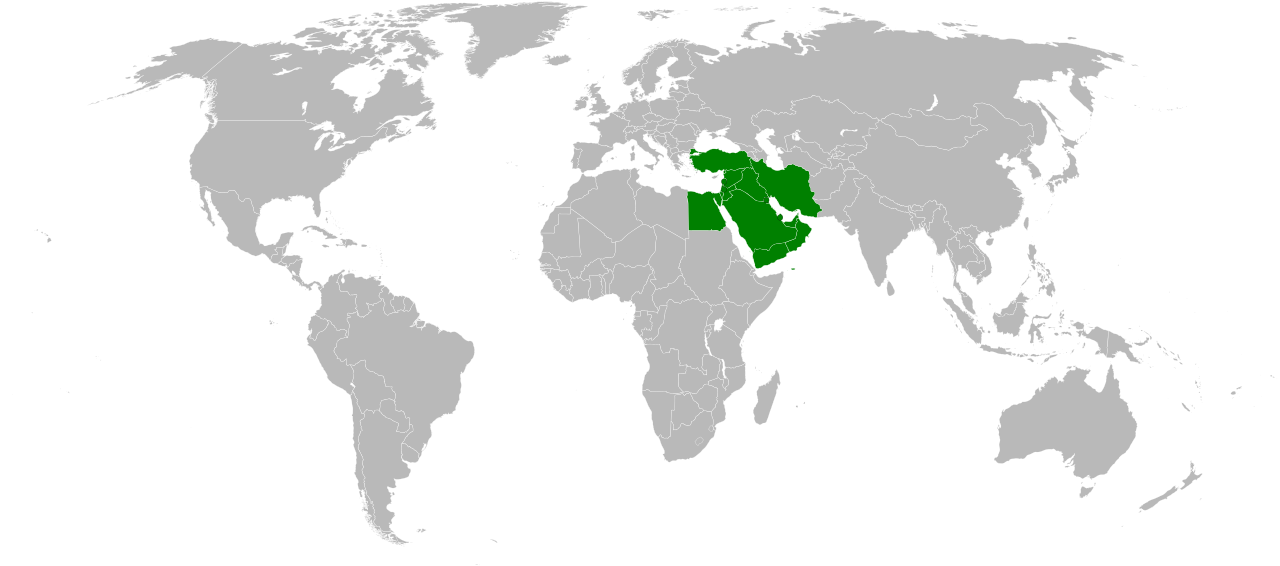
| 9 mai 2008 à 15:08 |  | 940 × 415 (1,46 Mio) | Applysense | ==Summary== :'''Description''': Map of Countries of the Middle East. :'''Beschreibung''': Karte von Ländern des Nahen Ostens. :Based on Image:BlankMap-World6, compact.svg, country information from Image:Map-World-Middle-East.png |
Utilisation du fichier
Aucune page n’utilise ce fichier.
Usage global du fichier
Les autres wikis suivants utilisent ce fichier :
- Utilisation sur an.wikipedia.org
- Utilisation sur eu.wikipedia.org
- Asia
- Pakistan
- Txinako Herri Errepublika
- Errusia
- India
- Turkia
- Ekialdeko Timor
- Hego Korea
- Indonesia
- Ipar Korea
- Iran
- Japonia
- Jordania
- Kazakhstan
- Laos
- Maldivak
- Qatar
- Saudi Arabia
- Singapur
- Sri Lanka
- Taiwan
- Turkmenistan
- Vietnam
- Yemen
- Ekialde Hurbila
- Malaysia
- Txantiloi:Asiako herrialde eta lurralde aurkibidea
- Hegoaldeko Asia
- Hego-ekialdeko Asia
- Hego-mendebaldeko Asia
- Ekialde Urruna
- Asia-Pazifikoa
- Indiako Ozeanoko Britainiar Lurraldea
- Palestinako Estatua
- Utilisation sur fr.wikinews.org
Voir davantage sur l’utilisation globale de ce fichier.