
Fichier:Map of Florida highlighting Levy County.svg

Taille de cet aperçu PNG pour ce fichier SVG : 601 × 599 pixels. Autres résolutions : 241 × 240 pixels | 481 × 480 pixels | 770 × 768 pixels | 1 027 × 1 024 pixels | 2 054 × 2 048 pixels | 7 342 × 7 321 pixels.
Fichier d’origine (Fichier SVG, nominalement de 7 342 × 7 321 pixels, taille : 310 kio)
Ce fichier et sa description proviennent de Wikimedia Commons.
Description
| Description |
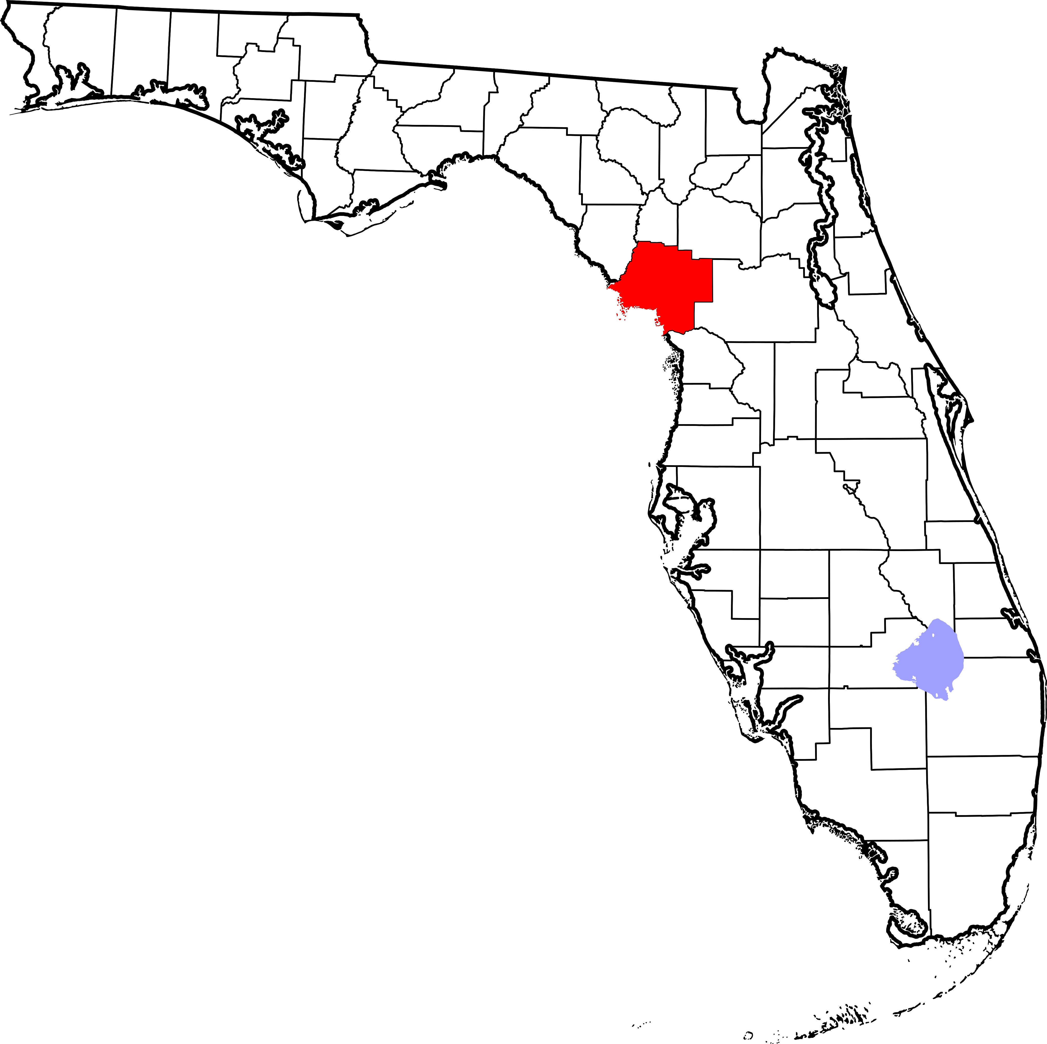
English: This is a locator map showing Levy County in Florida. For more information, see Commons:United States county locator maps. |
| Date | |
| Source |
Travail personnel: English: The maps use data from nationalatlas.gov, specifically countyp020.tar.gz on the Raw Data Download page. The maps also use state outline data from statesp020.tar.gz. The Florida maps use hydrogm020.tar.gz to display Lake Okeechobee. |
| Auteur | David Benbennick |
Conditions d’utilisation
| Moi, propriétaire des droits d’auteur sur cette œuvre, la place dans le domaine public. Ceci s'applique dans le monde entier. Dans certains pays, ceci peut ne pas être possible ; dans ce cas : J’accorde à toute personne le droit d’utiliser cette œuvre dans n’importe quel but, sans aucune condition, sauf celles requises par la loi. |
Historique du fichier
Cliquer sur une date et heure pour voir le fichier tel qu'il était à ce moment-là.
| Date et heure | Vignette | Dimensions | Utilisateur | Commentaire | |
|---|---|---|---|---|---|
| actuel | 14 février 2006 à 07:38 | | 7 342 × 7 321 (310 kio) | David Benbennick | New version with Lake Okeechobee |
| 12 février 2006 à 12:44 |  | 7 342 × 7 321 (307 kio) | David Benbennick | {{subst:User:Dbenbenn/clm|county=Levy County|state=Florida}} |
Utilisation du fichier
Les 18 pages suivantes utilisent ce fichier :
- Andrews (comté de Levy, Floride)
- Bronson (Floride)
- Cedar Key
- Chiefland
- Comté de Levy
- East Bronson
- East Williston (Floride)
- Fanning Springs
- Inglis (Floride)
- Manatee Road
- Morriston (Floride)
- Otter Creek (Floride)
- Rainbow Lakes Estates
- Raleigh (Floride)
- Williston (Floride)
- Williston Highlands
- Yankeetown
- Modèle:Palette Comté de Levy
Usage global du fichier
Les autres wikis suivants utilisent ce fichier :
- Utilisation sur ar.wikipedia.org
- Utilisation sur bg.wikipedia.org
- Utilisation sur bpy.wikipedia.org
- Utilisation sur cdo.wikipedia.org
- Utilisation sur ceb.wikipedia.org
- Utilisation sur ce.wikipedia.org
- Utilisation sur cy.wikipedia.org
- Utilisation sur de.wikipedia.org
- Utilisation sur en.wikipedia.org
- List of counties in Florida
- Levy County, Florida
- Fanning Springs, Florida
- Andrews, Levy County, Florida
- Bronson, Florida
- Cedar Key, Florida
- Chiefland, Florida
- East Bronson, Florida
- East Williston, Florida
- Inglis, Florida
- Manatee Road, Florida
- Otter Creek, Florida
- Williston, Florida
- Yankeetown, Florida
- Williston Highlands, Florida
Voir davantage sur l’utilisation globale de ce fichier.