
Fichier:European Union Israel Locator.svg

Taille de cet aperçu PNG pour ce fichier SVG : 800 × 589 pixels. Autres résolutions : 320 × 236 pixels | 640 × 471 pixels | 1 024 × 754 pixels | 1 280 × 943 pixels | 2 560 × 1 886 pixels | 2 039 × 1 502 pixels.
Fichier d’origine (Fichier SVG, nominalement de 2 039 × 1 502 pixels, taille : 640 kio)
Ce fichier et sa description proviennent de Wikimedia Commons.
Description
| Description |
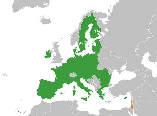
English: The European Union and Israel |
| Date | |
| Source | Travail personnel |
| Auteur | Ssolbergj |
| Autres versions | Œuvres dérivées de ce fichier : European Union Greenland Locator.svg |
Conditions d’utilisation
Moi, en tant que détenteur des droits d’auteur sur cette œuvre, je la publie sous la licence suivante :
Ce fichier est disponible selon les termes de la licence Creative Commons Attribution – Partage dans les Mêmes Conditions 3.0 (non transposée).
- Vous êtes libre :
- de partager – de copier, distribuer et transmettre cette œuvre
- d’adapter – de modifier cette œuvre
- Sous les conditions suivantes :
- paternité – Vous devez donner les informations appropriées concernant l'auteur, fournir un lien vers la licence et indiquer si des modifications ont été faites. Vous pouvez faire cela par tout moyen raisonnable, mais en aucune façon suggérant que l’auteur vous soutient ou approuve l’utilisation que vous en faites.
- partage à l’identique – Si vous modifiez, transformez, ou vous basez sur cette œuvre, vous devez distribuer votre contribution sous la même licence ou une licence compatible avec celle de l’original.
Historique du fichier
Cliquer sur une date et heure pour voir le fichier tel qu'il était à ce moment-là.
| Date et heure | Vignette | Dimensions | Utilisateur | Commentaire | |
|---|---|---|---|---|---|
| actuel | 22 décembre 2023 à 04:12 | | 2 039 × 1 502 (640 kio) | Fjmustak | Use more widely recognized Israeli borders |
| 18 décembre 2023 à 21:55 |  | 2 039 × 1 502 (639 kio) | Iktsokh | Clearing the map | |
| 27 mars 2020 à 11:39 |  | 2 039 × 1 502 (639 kio) | Hogweard | Update | |
| 2 juillet 2013 à 12:46 |  | 2 047 × 1 720 (634 kio) | Treehill | (problem with the first file uploaded) | |
| 2 juillet 2013 à 12:31 |  | 2 047 × 1 720 (861 kio) | Treehill | + Croatia | |
| 31 mai 2008 à 15:25 |  | 2 047 × 1 720 (861 kio) | Ssolbergj | {{Information |Description= |Source= |Date= |Author= |Permission= |other_versions= }} | |
| 31 mai 2008 à 14:23 |  | 2 047 × 1 720 (859 kio) | Ssolbergj | {{Information |Description={{en|1=The European Union and Israel}} |Source=Own work by uploader |Author=Ssolbergj |Date=31 May 2008 |Permission= |other_versions= }} {{ImageUpload|full}} [[Category:Maps of the European Union and third co |
Utilisation du fichier
La page suivante utilise ce fichier :
Usage global du fichier
Les autres wikis suivants utilisent ce fichier :
- Utilisation sur es.wikipedia.org