
Fichier:England in the uk outline map.png
Pas de plus haute résolution disponible.
England_in_the_uk_outline_map.png (369 × 420 pixels, taille du fichier : 7 kio, type MIME : image/png)
Ce fichier et sa description proviennent de Wikimedia Commons.
Description
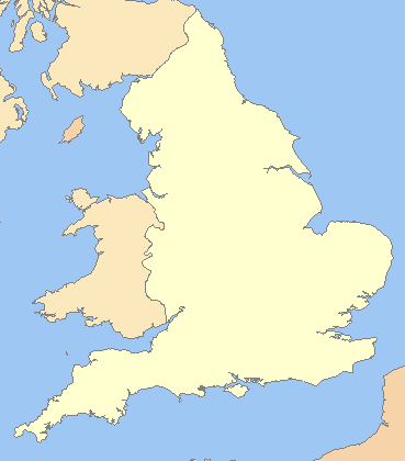
| Description |
English: A blank map of the England, inside the United Kingdom |
| Source | File:Uk outline map.png |
| Auteur | ChrisO modified by User:Xhandler |
| Autres versions | Œuvres dérivées de ce fichier : England in the UK - Northumberland outlined.png |
Conditions d’utilisation

|
Vous avez la permission de copier, distribuer et modifier ce document selon les termes de la GNU Free Documentation License version 1.2 ou toute version ultérieure publiée par la Free Software Foundation, sans sections inaltérables, sans texte de première page de couverture et sans texte de dernière page de couverture. Un exemplaire de la licence est inclus dans la section intitulée GNU Free Documentation License. |
| Ce fichier est disponible selon les termes de la licence Creative Commons Attribution – Partage dans les Mêmes Conditions 3.0 (non transposée). | ||
| ||
| Ce bandeau de licence a été ajouté à ce fichier dans le cadre de la procédure de mise à jour des licences des images sous GFDL. |
Historique du fichier
Cliquer sur une date et heure pour voir le fichier tel qu'il était à ce moment-là.
| Date et heure | Vignette | Dimensions | Utilisateur | Commentaire | |
|---|---|---|---|---|---|
| actuel | 20 mars 2009 à 00:16 | | 369 × 420 (7 kio) | Mahahahaneapneap | Compressed |
| 11 juillet 2008 à 09:59 |  | 369 × 420 (11 kio) | Chandler~commonswiki | zoomed in | |
| 11 juillet 2008 à 08:23 |  | 600 × 800 (25 kio) | Chandler~commonswiki | {{Information |Description={{en|1=A blank map of the England, inside the United Kingdom}} |Source=Image:Uk_outline_map.png |Author=ChrisO modified by User:Xhandler |Date= |Permission= |other_versions= }} {{ImageUpload|full}} [[Cat |
Utilisation du fichier
La page suivante utilise ce fichier :
Usage global du fichier
Les autres wikis suivants utilisent ce fichier :
- Utilisation sur cy.wikipedia.org
- Utilisation sur de.wikipedia.org
- Utilisation sur en.wikipedia.org
- Utilisation sur he.wikipedia.org
- Utilisation sur hy.wikipedia.org
- Utilisation sur pnb.wikipedia.org
- Utilisation sur uk.wikipedia.org
- Utilisation sur zh.wikipedia.org