
Fichier:Citytrain-railway-network-map.png
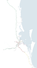
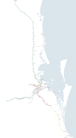
Taille de cet aperçu : 330 × 598 pixels. Autres résolutions : 132 × 240 pixels | 265 × 480 pixels | 423 × 768 pixels | 565 × 1 024 pixels | 2 500 × 4 533 pixels.
Fichier d’origine (2 500 × 4 533 pixels, taille du fichier : 425 kio, type MIME : image/png)
Ce fichier et sa description proviennent de Wikimedia Commons.
| Description |
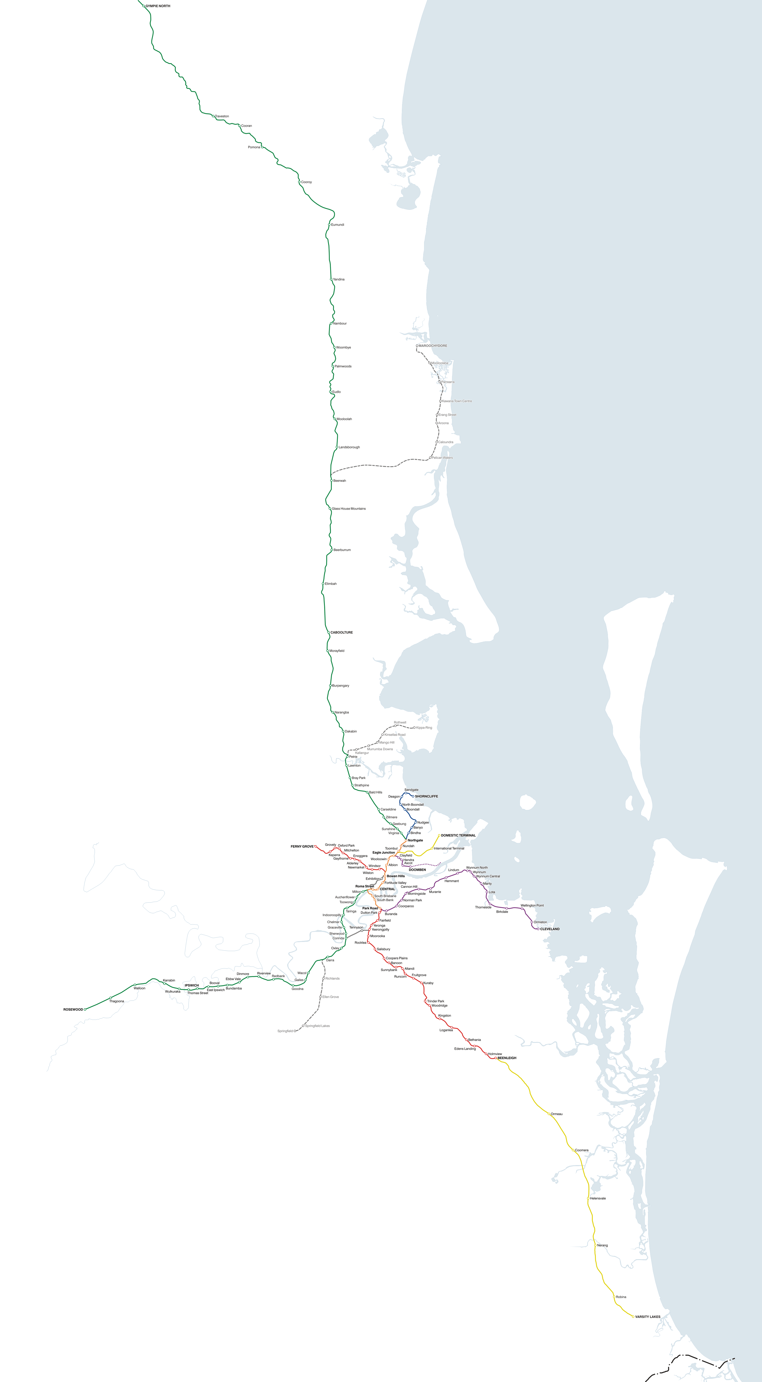
Accurate, to-scale map of the QR Citytrain network, covering South East Queensland, Australia Suburban lines – north of Brisbane Suburban lines – south and west of Brisbane Suburban lines – inner Brisbane Denotes the 'inner' of the network where more than one line shares the route
Interurban lines – north of Brisbane Interurban lines – south and west of Brisbane Proposed or under construction Denotes lines proposed or under construction |
||
| Date | |||
| Source | Travail personnel | ||
| Auteur | Seo75 | ||
| Autorisation (Réutilisation de ce fichier) |
Ce fichier est disponible selon les termes de la licence Creative Commons Attribution – Partage dans les Mêmes Conditions 2.1 Australie
 Moi, en tant que détenteur des droits d’auteur sur cette œuvre, je la publie sous les licences suivantes :
Ce fichier est disponible selon les termes de la licence Creative Commons Attribution – Partage dans les Mêmes Conditions 3.0 (non transposée).
Vous pouvez choisir l’une de ces licences. |
||
| Autres versions |


Historique du fichier
Cliquer sur une date et heure pour voir le fichier tel qu'il était à ce moment-là.
| Date et heure | Vignette | Dimensions | Utilisateur | Commentaire | |
|---|---|---|---|---|---|
| actuel | 15 décembre 2009 à 05:15 | | 2 500 × 4 533 (425 kio) | Seo75 | Varsity Lakes railway station is now real; minors. |
| 22 décembre 2008 à 11:09 |  | 2 500 × 4 534 (318 kio) | Seo75 | {{Information |Description= |Source= |Date= |Author= |Permission= |other_versions= }} | |
| 22 décembre 2008 à 11:03 |  | 2 998 × 5 437 (363 kio) | Seo75 | {{Information |Description= |Source= |Date= |Author= |Permission= |other_versions= }} | |
| 2 mai 2008 à 05:03 |  | 2 000 × 3 625 (152 kio) | Seo75 | ||
| 10 janvier 2008 à 04:13 |  | 2 000 × 3 625 (486 kio) | Seo75 | ||
| 10 janvier 2008 à 03:55 |  | 2 000 × 3 749 (502 kio) | Seo75 | {{Information |Description=Accurate, to-scale map of the QR Citytrain network, covering South East Queensland, Australia '''Suburban lines – north of Brisbane''' {{legend |
Utilisation du fichier
La page suivante utilise ce fichier :
Usage global du fichier
Les autres wikis suivants utilisent ce fichier :
- Utilisation sur de.wikivoyage.org
- Utilisation sur en.wikipedia.org
- Utilisation sur ja.wikipedia.org
- Utilisation sur pt.wikipedia.org
- Utilisation sur www.wikidata.org