
Fichier:Bay of Bengal location map simple.svg

Taille de cet aperçu PNG pour ce fichier SVG : 370 × 383 pixels. Autres résolutions : 232 × 240 pixels | 464 × 480 pixels | 742 × 768 pixels | 989 × 1 024 pixels | 1 978 × 2 048 pixels.
Fichier d’origine (Fichier SVG, nominalement de 370 × 383 pixels, taille : 335 kio)
Ce fichier et sa description proviennent de Wikimedia Commons.
Description
| Description |
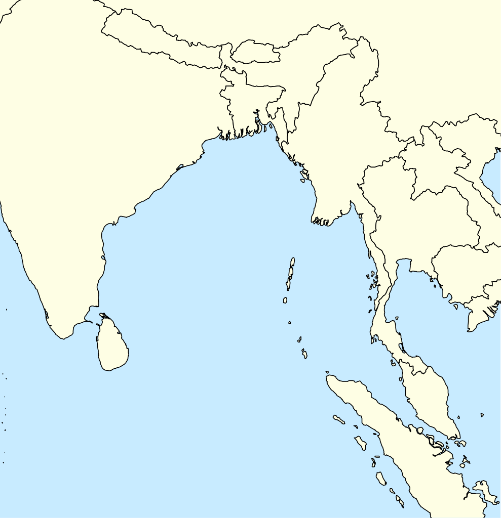
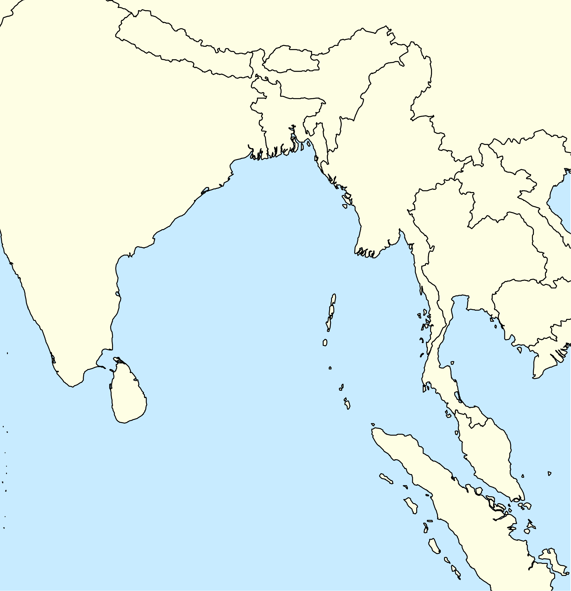
English: A basic map of the Bay of Bengal intended for use with locator templates.
Latitude extent: 31 to -4, longitude: 73.2 to 107. The coordinate system used is the equirectangular WGS 1984 (it makes it very easy to handle with the locator templates, but it's not really suitable for other uses). |
| Date | |
| Source | Travail personnel |
| Auteur | Uanfala |
Conditions d’utilisation
Moi, en tant que détenteur des droits d’auteur sur cette œuvre, je la publie sous la licence suivante :
Ce fichier est sous la licence Creative Commons Attribution – Partage dans les Mêmes Conditions 4.0 International.
- Vous êtes libre :
- de partager – de copier, distribuer et transmettre cette œuvre
- d’adapter – de modifier cette œuvre
- Sous les conditions suivantes :
- paternité – Vous devez donner les informations appropriées concernant l'auteur, fournir un lien vers la licence et indiquer si des modifications ont été faites. Vous pouvez faire cela par tout moyen raisonnable, mais en aucune façon suggérant que l’auteur vous soutient ou approuve l’utilisation que vous en faites.
- partage à l’identique – Si vous modifiez, transformez, ou vous basez sur cette œuvre, vous devez distribuer votre contribution sous la même licence ou une licence compatible avec celle de l’original.
Historique du fichier
Cliquer sur une date et heure pour voir le fichier tel qu'il était à ce moment-là.
| Date et heure | Vignette | Dimensions | Utilisateur | Commentaire | |
|---|---|---|---|---|---|
| actuel | 7 avril 2019 à 07:29 | | 370 × 383 (335 kio) | Uanfala | User created page with UploadWizard |
Utilisation du fichier
Les 4 pages suivantes utilisent ce fichier :
Usage global du fichier
Les autres wikis suivants utilisent ce fichier :
- Utilisation sur bn.wikipedia.org
- Utilisation sur en.wikipedia.org
- Banda Aceh
- Car Nicobar
- Port Blair
- North Andaman Island
- Little Andaman
- Great Nicobar Island
- Nancowry Island
- Trinket Island
- Middle Andaman Island
- Ten Degree Channel
- Barren Island (Andaman Islands)
- Car language
- Nicobar district
- Diglipur
- Mayabunder
- Narcondam Island
- Sabang, Aceh
- Weh Island
- Sentinelese language
- Coco Islands
- Little Nicobar
- Ross Island, South Andaman district
- Shompen language
- Kamorta, Nancowry
- Chaura language
- Maimun Saleh Airport
- Duncan Passage
- Teressa language
- Southern Nicobarese language
- Preparis
- 1762 Arakan earthquake
- North Brother Island (Andaman Islands)
- North Cinque Island
- Rondo Island
- Landfall Island
- Alukian
- Man Island (Nicobar Islands)
- Meroe Island
- Cleugh Passage
- Murga Island
- Long Island (Andaman Islands)
- North Passage Island
- Napier Bay Islands
- Little Andaman Group
- Breueh Island
- Module:Location map/data/Bay of Bengal
Voir davantage sur l’utilisation globale de ce fichier.