
Fichier:Armenia locater map ararat.svg

Taille de cet aperçu PNG pour ce fichier SVG : 800 × 552 pixels. Autres résolutions : 320 × 221 pixels | 640 × 442 pixels | 1 024 × 707 pixels | 1 280 × 884 pixels | 2 560 × 1 768 pixels | 1 050 × 725 pixels.
Fichier d’origine (Fichier SVG, nominalement de 1 050 × 725 pixels, taille : 106 kio)
Ce fichier et sa description proviennent de Wikimedia Commons.
Description
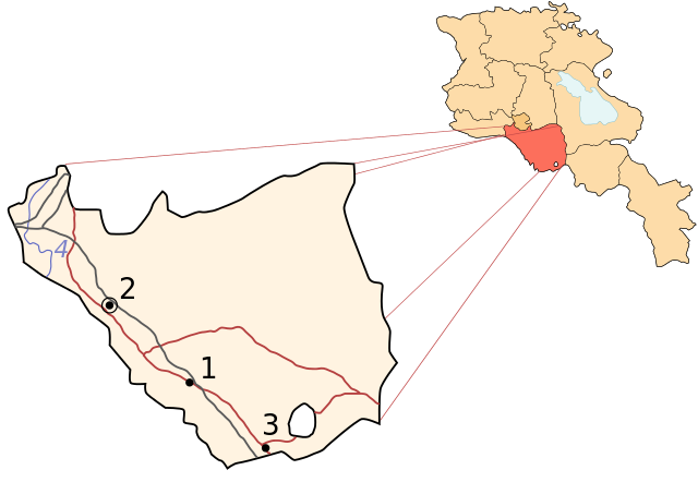
Image shows the location of Aragatsotn in Armenia. Derived from a multiple of public sources including public domain image here: [1] and created using Inkscape.
![[1]](http://www.lib.utexas.edu/maps/commonwealth/armenia_pol_2002.jpg)
- Map Key
- Ararat
- Artashat
- Yeraskh
- Hrazdan River
Conditions d’utilisation

|
Vous avez la permission de copier, distribuer et modifier ce document selon les termes de la GNU Free Documentation License version 1.2 ou toute version ultérieure publiée par la Free Software Foundation, sans sections inaltérables, sans texte de première page de couverture et sans texte de dernière page de couverture. Un exemplaire de la licence est inclus dans la section intitulée GNU Free Documentation License. |
| Ce fichier est disponible selon les termes de la licence Creative Commons Attribution – Partage dans les Mêmes Conditions 3.0 (non transposée). | ||
| ||
| Ce bandeau de licence a été ajouté à ce fichier dans le cadre de la procédure de mise à jour des licences des images sous GFDL. |
Historique du fichier
Cliquer sur une date et heure pour voir le fichier tel qu'il était à ce moment-là.
| Date et heure | Vignette | Dimensions | Utilisateur | Commentaire | |
|---|---|---|---|---|---|
| actuel | 13 octobre 2013 à 19:19 | | 1 050 × 725 (106 kio) | Fry1989 | Per AN, this type of POV is improper and unacceptable |
| 11 octobre 2013 à 22:04 |  | 800 × 552 (84 kio) | Ankax Hayastan | Reverted to version as of 19:29, 8 November 2010 | |
| 11 octobre 2013 à 21:59 |  | 1 050 × 725 (106 kio) | Fry1989 | Revert political POV | |
| 8 novembre 2010 à 21:29 |  | 800 × 552 (84 kio) | Ankax Hayastan | Exclaves deleted according to official map at http://www.gov.am/en/regions/ | |
| 26 novembre 2006 à 20:46 |  | 1 050 × 725 (106 kio) | Bastique | Image shows the location of Aragatsotn in Armenia. Derived from a multiple of public sources including public domain image here: [http://www.lib.utexas.edu/maps/commonwealth/armenia_pol_2002.jpg] and created using Inkscape. ;City/Village names # Ararat |
Utilisation du fichier
Aucune page n’utilise ce fichier.
Usage global du fichier
Les autres wikis suivants utilisent ce fichier :
- Utilisation sur bg.wikipedia.org