
Fichier:Argentina Río Negro location map.svg

Taille de cet aperçu PNG pour ce fichier SVG : 798 × 600 pixels. Autres résolutions : 319 × 240 pixels | 639 × 480 pixels | 1 022 × 768 pixels | 1 280 × 962 pixels | 2 560 × 1 924 pixels | 1 095 × 823 pixels.
Fichier d’origine (Fichier SVG, nominalement de 1 095 × 823 pixels, taille : 352 kio)
Ce fichier et sa description proviennent de Wikimedia Commons.
Description
| Description |
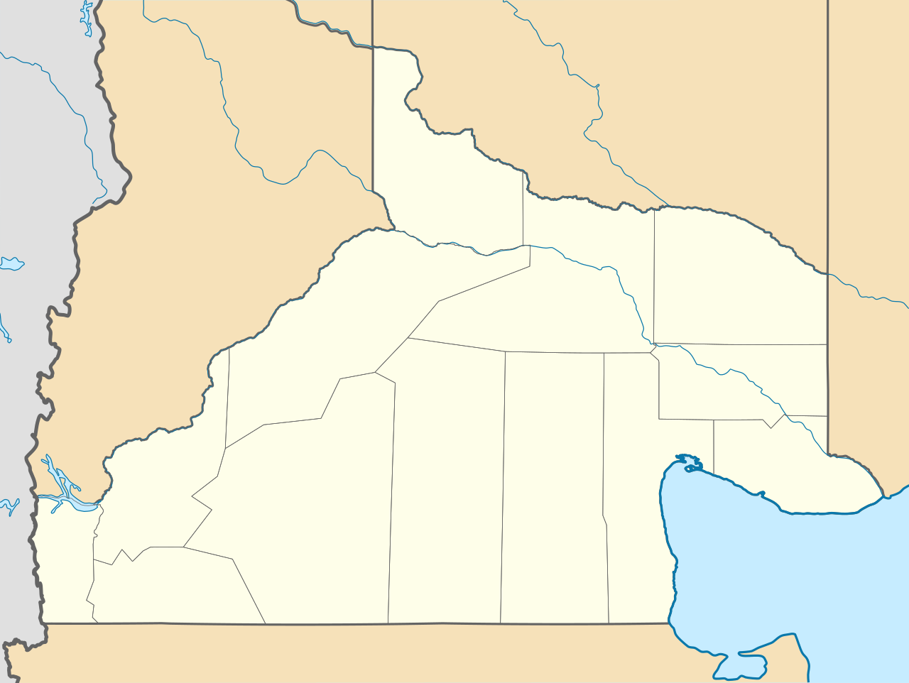
Deutsch: Positionskarte von Río Negro (Argentinien) English: Location map of Río Negro province (Argentina) Español: Mapa de localización de la Provincia de Río Negro.
Equirectangular projection, N/S stretching 130 %. Geographic limits of the map:
|
| Date | (UTC) |
| Source |
Ce fichier est dérivé de : |
| Auteur |
|
| Autres versions |
|

Conditions d’utilisation
Ce fichier est disponible selon les termes de la licence Creative Commons Attribution – Partage dans les Mêmes Conditions 3.0 (non transposée).
- Vous êtes libre :
- de partager – de copier, distribuer et transmettre cette œuvre
- d’adapter – de modifier cette œuvre
- Sous les conditions suivantes :
- paternité – Vous devez donner les informations appropriées concernant l'auteur, fournir un lien vers la licence et indiquer si des modifications ont été faites. Vous pouvez faire cela par tout moyen raisonnable, mais en aucune façon suggérant que l’auteur vous soutient ou approuve l’utilisation que vous en faites.
- partage à l’identique – Si vous modifiez, transformez, ou vous basez sur cette œuvre, vous devez distribuer votre contribution sous la même licence ou une licence compatible avec celle de l’original.
Journal des téléversements d’origine
This image is a derivative work of the following images:
- File:Argentina_location_map.svg licensed with Cc-by-sa-3.0, GFDL
- File:Map_of_Río_Negro_Province.svg licensed with Cc-by-sa-3.0,2.5,2.0,1.0, GFDL
Téléversé avec derivativeFX
Historique du fichier
Cliquer sur une date et heure pour voir le fichier tel qu'il était à ce moment-là.
| Date et heure | Vignette | Dimensions | Utilisateur | Commentaire | |
|---|---|---|---|---|---|
| actuel | 27 décembre 2022 à 01:41 | | 1 095 × 823 (352 kio) | GrandEscogriffe | restretching, former one was incorrect due to incorrect documentation |
| 24 novembre 2022 à 00:55 |  | 1 095 × 796 (353 kio) | GrandEscogriffe | more correct north-south stretching | |
| 22 octobre 2017 à 22:30 |  | 1 095 × 692 (356 kio) | Janitoalevic | Límites más precisos. | |
| 10 septembre 2017 à 11:34 |  | 1 095 × 692 (352 kio) | Milenioscuro | capas | |
| 25 septembre 2012 à 20:40 |  | 1 095 × 692 (496 kio) | Milenioscuro | {{Information |Description ={{en|1=Location map of Río Negro province}} |Source ={{own}} |Author =Shadowxfox |Date = |Permission = |other_versions = }} |
Utilisation du fichier
Les 3 pages suivantes utilisent ce fichier :
Usage global du fichier
Les autres wikis suivants utilisent ce fichier :
- Utilisation sur ar.wikipedia.org
- Utilisation sur bg.wikipedia.org
- Utilisation sur ceb.wikipedia.org
- Utilisation sur da.wikipedia.org
- Utilisation sur de.wikipedia.org
- Utilisation sur en.wikipedia.org
- Utilisation sur eo.wikipedia.org
- Utilisation sur es.wikipedia.org
- El Bolsón
- Viedma
- Cipolletti
- General Roca (Río Negro)
- San Antonio Oeste
- Las Grutas
- San Antonio Este
- Cinco Saltos
- Choele Choel
- Maquinchao
- Pilcaniyeu
- Sierra Grande
- General Enrique Godoy
- Villa Regina
- El Cuy
- Sierra Colorada
- Ñorquincó
- Río Colorado (Río Negro)
- Ingeniero Jacobacci
- General Conesa (Río Negro)
- Valcheta
- Aeropuerto Internacional Teniente Luis Candelaria
- Chimpay
- Allen
- El Cóndor (Río Negro)
- General Fernández Oro
- Dina Huapi
- Los Menucos
- Catriel (Río Negro)
- Lamarque (Río Negro)
- Playas Doradas
- Ingeniero Luis A. Huergo
- Villa Cerro Catedral
Voir davantage sur l’utilisation globale de ce fichier.