
Fichier:Wales Wrexham locator map.svg

Taille de cet aperçu PNG pour ce fichier SVG : 502 × 600 pixels. Autres résolutions : 201 × 240 pixels | 402 × 480 pixels | 643 × 768 pixels | 857 × 1 024 pixels | 1 714 × 2 048 pixels | 1 047 × 1 251 pixels.
Fichier d’origine (Fichier SVG, nominalement de 1 047 × 1 251 pixels, taille : 147 kio)
Ce fichier et sa description proviennent de Wikimedia Commons.
Description
| Description |
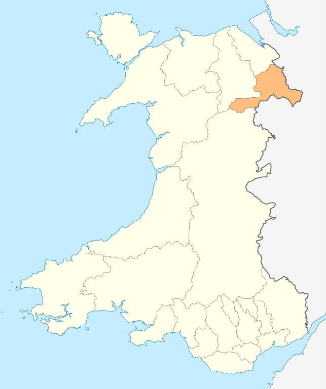
Deutsch: Lagekarte von Wrexham in Wales
English: Locator map of Wrexham in Wales |
| Date | |
| Source | Travail personnel |
| Auteur | NordNordWest |
| Autorisation (Réutilisation de ce fichier) |
Moi, en tant que détenteur des droits d’auteur sur cette œuvre, je la publie sous la licence suivante : Ce fichier est disponible selon les termes de la licence Creative Commons Attribution – Partage dans les Mêmes Conditions 3.0 (non transposée).
|

|
Cette carte a été créée ou améliorée dans le Kartenwerkstatt (Atelier cartographique allemand). Vous pouvez également y proposer des cartes à améliorer.
|
Historique du fichier
Cliquer sur une date et heure pour voir le fichier tel qu'il était à ce moment-là.
| Date et heure | Vignette | Dimensions | Utilisateur | Commentaire | |
|---|---|---|---|---|---|
| actuel | 4 mai 2010 à 21:00 | | 1 047 × 1 251 (147 kio) | NordNordWest | {{int:filedesc}} {{Information |Description= {{de|Lagekarte von Wrexham in Wales}} {{en|Locator map of Wrexham in Wales}} |Source={{Own}} |Date=2010-05-04 |Author={{U|NordNordWest}} |Permission={{self|cc-by-sa-3.0}} |other_versions= }} {{Kartenwerkstatt} |
Utilisation du fichier
Aucune page n’utilise ce fichier.
Usage global du fichier
Les autres wikis suivants utilisent ce fichier :
- Utilisation sur en.wikipedia.org
- Berwyn range
- Wrexham
- Bangor-on-Dee
- Pontcysyllte Aqueduct
- Chirk
- Maelor
- English Maelor
- Wrexham County Borough
- Wrexham University
- Glyn Valley Tramway
- Rhosllanerchrugog
- Ruabon
- Rhosrobin
- All Saints' Church, Gresford
- Overton-on-Dee
- Coedpoeth
- Chirk Castle
- Chirk Aqueduct
- Fenn's, Whixall and Bettisfield Mosses National Nature Reserve
- St Giles' Church, Wrexham
- Holt, Wrexham
- Acrefair
- Ceiriog Valley
- Gresford
- Cadair Bronwen
- Acton, Wrexham
- Abenbury
- Wrexham Industrial Estate
- Wrexham Lager
- Erddig
- Croes Newydd
- River Clywedog
- Minera
- River Alyn
- Wynn Hall
- Bwlchgwyn
- Cefn Mawr
- Marford
- Bersham Ironworks
- Burton, Wrexham
- Template:Wrexham-geo-stub
- Glyn Ceiriog
- Pontfadog
- Ponciau
- Rossett
- Moss Valley, Wrexham
- Brymbo
- Pen-y-cae, Wrexham
- Erbistock
- Pentre Bychan
Voir davantage sur l’utilisation globale de ce fichier.