
Fichier:Dalmazia1560.png
Dalmazia1560.png (516 × 424 pixels, taille du fichier : 586 kio, type MIME : image/png)
Ce fichier et sa description proviennent de Wikimedia Commons.

Description
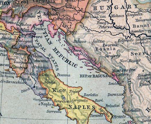
Map from "Historical Atlas" by William R. Shepherd, 1923
Conditions d’utilisation
|
Cette œuvre est également dans le domaine public dans tous les pays pour lesquels le droit d’auteur a une durée de vie de 70 ans ou moins après la mort de l’auteur.
| |
| Ce fichier a été identifié comme étant exempt de restrictions connues liées au droit d’auteur, y compris tous les droits connexes et voisins. | |
Historique du fichier
Cliquer sur une date et heure pour voir le fichier tel qu'il était à ce moment-là.
| Date et heure | Vignette | Dimensions | Utilisateur | Commentaire | |
|---|---|---|---|---|---|
| actuel | 13 août 2011 à 23:14 | | 516 × 424 (586 kio) | DIREKTOR | Tone |
| 15 février 2006 à 22:40 |  | 516 × 424 (549 kio) | Ilario | {{it|Istria e Dalmazia nel 1560}} Map from "Historical Atlas" by William R. Shepherd, 1923 Category:Maps of Dalmatia |
Utilisation du fichier
Aucune page n’utilise ce fichier.
Usage global du fichier
Les autres wikis suivants utilisent ce fichier :
- Utilisation sur ast.wikipedia.org
- Utilisation sur cs.wikipedia.org
- Utilisation sur de.wikipedia.org
- Utilisation sur el.wikipedia.org
- Utilisation sur en.wikipedia.org
- Utilisation sur es.wikipedia.org
- Utilisation sur fa.wikipedia.org
- Utilisation sur he.wikipedia.org
- Utilisation sur hr.wikipedia.org
- Utilisation sur hu.wikipedia.org
- Utilisation sur hy.wikipedia.org
- Utilisation sur incubator.wikimedia.org
- Utilisation sur it.wikipedia.org
- Utilisation sur ja.wikipedia.org
- Utilisation sur lt.wikipedia.org
- Utilisation sur ms.wikipedia.org
- Utilisation sur nl.wikipedia.org
- Utilisation sur pl.wikipedia.org
- Utilisation sur pt.wikipedia.org
- Utilisation sur ru.wikipedia.org
- Utilisation sur simple.wikipedia.org
- Utilisation sur sq.wikipedia.org
- Utilisation sur uk.wikipedia.org
- Utilisation sur vec.wikipedia.org