
Fichier:USA Washington Metropolitan Area location map.svg

Taille de cet aperçu PNG pour ce fichier SVG : 172 × 193 pixels. Autres résolutions : 214 × 240 pixels | 428 × 480 pixels | 684 × 768 pixels | 913 × 1 024 pixels | 1 825 × 2 048 pixels.
Fichier d’origine (Fichier SVG, nominalement de 172 × 193 pixels, taille : 72 kio)
Ce fichier et sa description proviennent de Wikimedia Commons.
Description
| Description |
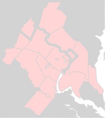
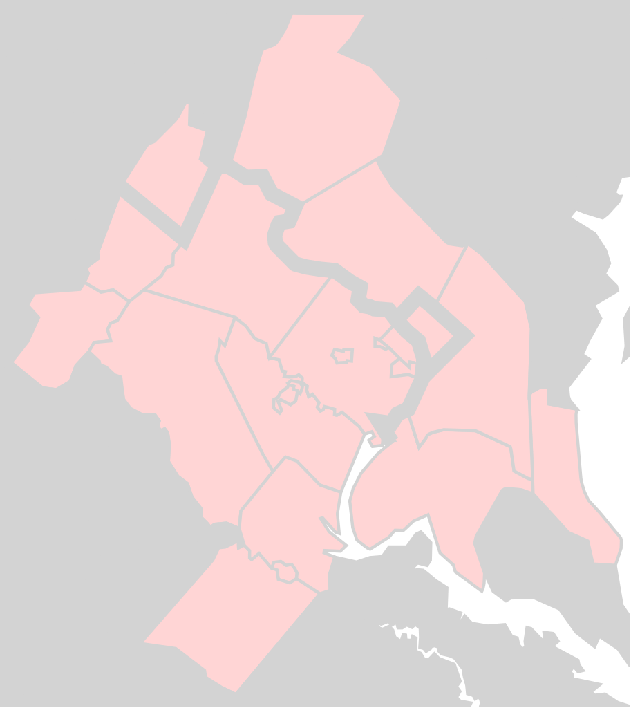
English: Washington Metropolitan Area as defined by 47900 DC-VA-MD-WV Metropolitan Statistical Area |
| Date | |
| Source | File:Usa_counties_large.svg |
| Auteur | Federal Government |
| SVG information | Le code de ce fichier SVG n'est pas valide en raison de 82 erreurs. |
Conditions d’utilisation
Ce média est dans le domaine public des États-Unis d’Amérique car son auteur est l’administration américaine comme précisé dans le code fédéral au Titre 17, Chapitre 1, Section 105. Pour en savoir plus : droit d’auteur.
Attention : Ceci ne concerne que le travail du Gouvernement Fédéral et pas celui des États, ou d’une autre subdivision géographique ou politique du pays.
|
 | |
| Ce fichier a été identifié comme étant exempt de restrictions connues liées au droit d’auteur, y compris tous les droits connexes et voisins. | ||
Historique du fichier
Cliquer sur une date et heure pour voir le fichier tel qu'il était à ce moment-là.
| Date et heure | Vignette | Dimensions | Utilisateur | Commentaire | |
|---|---|---|---|---|---|
| actuel | 21 mars 2017 à 20:08 | | 172 × 193 (72 kio) | Id4abel | Thick black lines made text impossible to read. |
| 19 mars 2017 à 21:19 |  | 172 × 193 (72 kio) | Id4abel | Derived from wikimedia File:Usa_counties_large.svg, same as the original version, but this version is of a better quality. | |
| 17 mars 2017 à 17:53 |  | 373 × 408 (256 kio) | Id4abel | Exactly the same coordinates, but a vastly superior quality map from OpenStreetMap. | |
| 13 juin 2016 à 04:55 |  | 41 × 42 (22 kio) | Id4abel | User created page with UploadWizard |
Utilisation du fichier
La page suivante utilise ce fichier :
Usage global du fichier
Les autres wikis suivants utilisent ce fichier :
- Utilisation sur ar.wikipedia.org
- Utilisation sur ce.wikipedia.org
- Utilisation sur en.wikipedia.org
- Montgomery County, Maryland
- Frederick County, Maryland
- Calvert County, Maryland
- Charles County, Maryland
- Talk:Warren County, Virginia
- Talk:Falls Church, Virginia
- Talk:Charles County, Maryland
- National Capital Area Council
- Module:Location map/data/USA Washington Metropolitan Area
- Module:Location map/data/USA Washington Metropolitan Area/doc
- User:Id4abel/sandbox/dcareamaps
- Talk:Alexandria, Virginia/Archive 1
- Utilisation sur ru.wikipedia.org
- Utilisation sur si.wikipedia.org
- Utilisation sur tw.wikipedia.org
- Utilisation sur uz.wikipedia.org
- Utilisation sur zh.wikipedia.org