
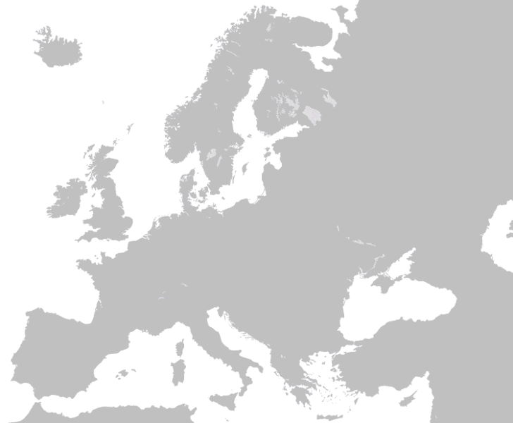
Fichier:Territorial-changes-of-Poland-1635-2009.gif

Taille de cet aperçu : 728 × 600 pixels. Autres résolutions : 291 × 240 pixels | 583 × 480 pixels | 750 × 618 pixels.
Fichier d’origine (750 × 618 pixels, taille du fichier : 5,38 Mio, type MIME : image/gif, en boucle, 90 trames, 2 min 44 s)
Ce fichier et sa description proviennent de Wikimedia Commons.
Description
| Description | Territorial-changes-of-Poland-1635-2009 | ||
| Date | |||
| Source | Travail personnel | ||
| Auteur | Esemono | ||
| Autorisation (Réutilisation de ce fichier) |
|
See also
Historique du fichier
Cliquer sur une date et heure pour voir le fichier tel qu'il était à ce moment-là.
| Date et heure | Vignette | Dimensions | Utilisateur | Commentaire | |
|---|---|---|---|---|---|
| actuel | 19 mars 2012 à 19:22 | | 750 × 618 (5,38 Mio) | Alphathon | New version (with various corrections, the addition of the Holy Roman Empire/German confederation border, a higher-quality Europe map, borders for Ireland/N.I. or Germany/Denmark on the Europe map removed and a better, smother animation). |
| 19 mars 2012 à 19:17 |  | 750 × 618 (5,38 Mio) | Alphathon | New version (with various corrections, the addition of the Holy Roman Empire/German confederation border, a higher-quality Europe map, borders for Ireland/N.I. or Germany/Denmark on the Europe map removed and a better, smother animation). | |
| 13 juin 2009 à 10:59 |  | 750 × 618 (4,07 Mio) | Esemono | Border adjustments | |
| 7 avril 2009 à 02:24 |  | 750 × 618 (3,88 Mio) | Esemono | Add Silesia | |
| 2 avril 2009 à 16:36 |  | 850 × 700 (1,15 Mio) | Esemono | fix 20s | |
| 2 avril 2009 à 05:56 |  | 850 × 700 (1,1 Mio) | Esemono | {{Information |Description={{en|1=Self made}} |Source=Self made |Author=Self made |Date=2009-03-31 |Permission= |other_versions= }} Poland <!--{{ImageUpload|full}}--> |
Utilisation du fichier
La page suivante utilise ce fichier :
Usage global du fichier
Les autres wikis suivants utilisent ce fichier :
- Utilisation sur en.wikipedia.org
- Utilisation sur fr.wiktionary.org