
Fichier:Southwark London UK blank ward map.svg

Taille de cet aperçu PNG pour ce fichier SVG : 450 × 600 pixels. Autres résolutions : 180 × 240 pixels | 360 × 480 pixels | 576 × 768 pixels | 768 × 1 024 pixels | 1 537 × 2 048 pixels | 950 × 1 266 pixels.
Fichier d’origine (Fichier SVG, nominalement de 950 × 1 266 pixels, taille : 382 kio)
Ce fichier et sa description proviennent de Wikimedia Commons.
| Description |
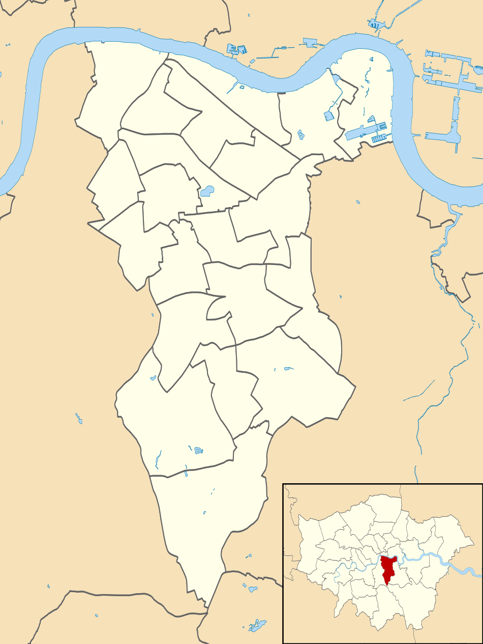
Blank map of the London Borough of Southwark, showing electoral wards. Equirectangular map projection on WGS 84 datum, with N/S stretched 160% Geographic limits:
|
| Date | |
| Source |
|
| Auteur | Nilfanion |
| Autorisation (Réutilisation de ce fichier) |
Ce fichier est disponible selon les termes de la licence Creative Commons Attribution – Partage dans les Mêmes Conditions 3.0 (non transposée). Attribution: Contains Ordnance Survey data © Crown copyright and database right
|
Historique du fichier
Cliquer sur une date et heure pour voir le fichier tel qu'il était à ce moment-là.
| Date et heure | Vignette | Dimensions | Utilisateur | Commentaire | |
|---|---|---|---|---|---|
| actuel | 29 juillet 2011 à 00:17 | | 950 × 1 266 (382 kio) | Nilfanion | {{Information |Description=Blank map of the London Borough of Southwark, showing electoral wards. Equirectangular map projection on WGS 84 datum, with N/S stretched 160% Geographic limits: *West: 0.13W *East: 0.01W *Nor |
Utilisation du fichier
Les 2 pages suivantes utilisent ce fichier :
Usage global du fichier
Les autres wikis suivants utilisent ce fichier :
- Utilisation sur en.wikipedia.org
- Utilisation sur he.wikipedia.org
- Utilisation sur pl.wikipedia.org
- Ratusz w Londynie
- Tate Modern
- London Bridge Station
- Imperial War Museum
- Elephant & Castle (stacja metra)
- Borough (stacja metra)
- London Bridge (stacja metra)
- Southwark (stacja metra)
- Kennington (stacja metra)
- Bermondsey (stacja metra)
- Canada Water (stacja)
- Design Museum w Londynie
- The Shard
- Surrey Quays (stacja kolejowa)
- Rotherhithe (stacja kolejowa)
- Archikatedra św. Jerzego w Southwark
- Champion Hill
- Katedra w Southwark
- Katedra greckoprawosławna Narodzenia Matki Bożej w Londynie
- Moduł:Mapa/dane/Southwark
- Moduł:Mapa/dane/GB-SWK
- Peckham Rye (stacja kolejowa)
- Queens Road Peckham
- Old Kent Road
- Utilisation sur pl.wikibooks.org