
Fichier:Reuss Karte.jpg
Fichier d’origine (996 × 944 pixels, taille du fichier : 452 kio, type MIME : image/jpeg)
Ce fichier et sa description proviennent de Wikimedia Commons.
Description
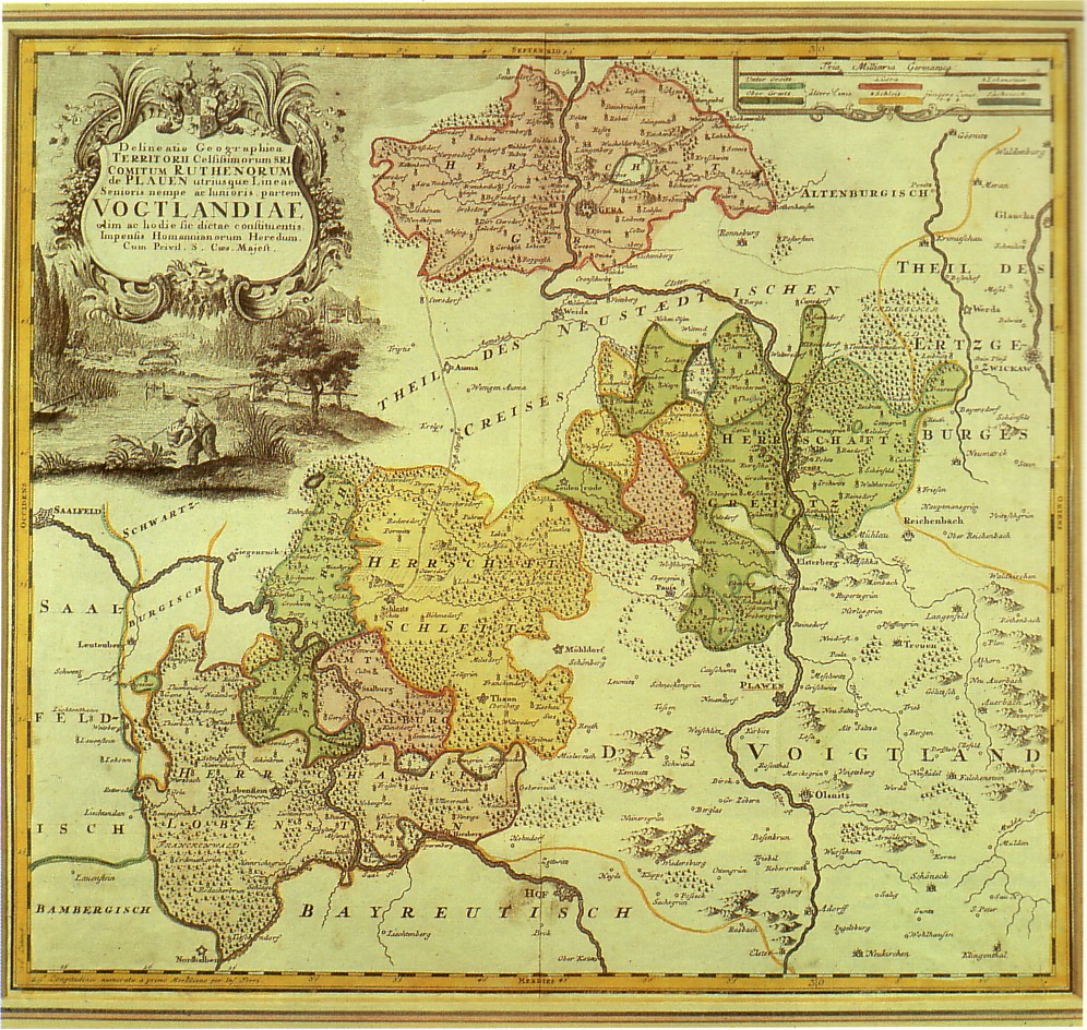
| Description | 18th century map of the Reuss principalities, Thuringia, Germany |
| Date | XVIIIe siècle |
| Source | scanned from Gera - Geschichte der Stadt in Wort und Bild, Berlin 1987 |
| Auteur | Auteur inconnu |
Conditions d’utilisation
|
Cette œuvre est également dans le domaine public dans tous les pays pour lesquels le droit d’auteur a une durée de vie de 70 ans ou moins après la mort de l’auteur.
| |
| Ce fichier a été identifié comme étant exempt de restrictions connues liées au droit d’auteur, y compris tous les droits connexes et voisins. | |
Historique du fichier
Cliquer sur une date et heure pour voir le fichier tel qu'il était à ce moment-là.
| Date et heure | Vignette | Dimensions | Utilisateur | Commentaire | |
|---|---|---|---|---|---|
| actuel | 7 novembre 2008 à 17:23 | | 996 × 944 (452 kio) | Steffen Löwe Gera | {{Information |Description=18th century map of the Reuss principalities, Thuringia, Germany |Source=scanned from ''Gera - Geschichte der Stadt in Wort und Bild'', Berlin 1987 |Date=18th century |Author=unknown |Permission= |other_versions= }} [[Category: |
Utilisation du fichier
La page suivante utilise ce fichier :
Usage global du fichier
Les autres wikis suivants utilisent ce fichier :
- Utilisation sur cs.wikipedia.org
- Utilisation sur de.wikipedia.org
- Utilisation sur de.wikisource.org
- Utilisation sur en.wikipedia.org
- Utilisation sur es.wikipedia.org
- Utilisation sur it.wikipedia.org
- Utilisation sur ja.wikipedia.org