
Fichier:Pennsylvania Locator Map.PNG
Taille de cet aperçu : 800 × 460 pixels. Autres résolutions : 320 × 184 pixels | 640 × 368 pixels | 964 × 554 pixels.
Fichier d’origine (964 × 554 pixels, taille du fichier : 13 kio, type MIME : image/png)
Ce fichier et sa description proviennent de Wikimedia Commons.
Description
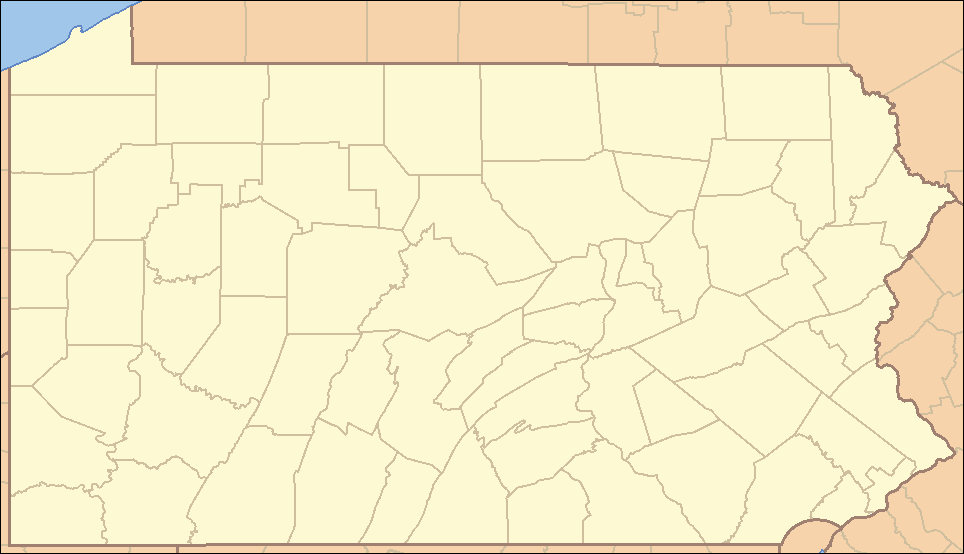
| Description | Locator Map of Pennsylvania, United States |
| Date | |
| Source | taken from US Census website [1] and modified by User:Ruhrfisch |
| Auteur | US Census, Ruhrfisch |
| Autorisation (Réutilisation de ce fichier) |
US Census / US Government work is public domain, myations licensed under the GNU Free Documentation License |
| Autres versions |
Œuvres dérivées de ce fichier : Location Caln Township.png four (with slightly different color schemes or smaller size), a vector version is at Image:Pennsylvania Locator Map.svg |
Conditions d’utilisation
I, Ruhrfisch, en tant que détenteur des droits d’auteur sur cette œuvre, la publie sous les licences suivantes :

|
Vous avez la permission de copier, distribuer et modifier ce document selon les termes de la GNU Free Documentation License version 1.2 ou toute version ultérieure publiée par la Free Software Foundation, sans sections inaltérables, sans texte de première page de couverture et sans texte de dernière page de couverture. Un exemplaire de la licence est inclus dans la section intitulée GNU Free Documentation License. |
| Ce fichier est disponible selon les termes de la licence Creative Commons Attribution – Partage dans les Mêmes Conditions 3.0 (non transposée). | ||
| Attribution: I, Ruhrfisch | ||
| ||
| Ce bandeau de licence a été ajouté à ce fichier dans le cadre de la procédure de mise à jour des licences des images sous GFDL. |
Ce fichier est disponible selon les termes de la licence Creative Commons Attribution – Partage dans les Mêmes Conditions 2.5 Générique
Attribution: I, Ruhrfisch
- Vous êtes libre :
- de partager – de copier, distribuer et transmettre cette œuvre
- d’adapter – de modifier cette œuvre
- Sous les conditions suivantes :
- paternité – Vous devez donner les informations appropriées concernant l'auteur, fournir un lien vers la licence et indiquer si des modifications ont été faites. Vous pouvez faire cela par tout moyen raisonnable, mais en aucune façon suggérant que l’auteur vous soutient ou approuve l’utilisation que vous en faites.
- partage à l’identique – Si vous modifiez, transformez, ou vous basez sur cette œuvre, vous devez distribuer votre contribution sous la même licence ou une licence compatible avec celle de l’original.
Vous pouvez choisir l’une de ces licences.
and
This image or file is a work of a United States Census Bureau employee, taken or made as part of that person's official duties. As a work of the U.S. federal government, the image is in the public domain.
|
 |
Historique du fichier
Cliquer sur une date et heure pour voir le fichier tel qu'il était à ce moment-là.
| Date et heure | Vignette | Dimensions | Utilisateur | Commentaire | |
|---|---|---|---|---|---|
| actuel | 23 mars 2009 à 00:35 | | 964 × 554 (13 kio) | Mahahahaneapneap | Compressed |
| 5 septembre 2007 à 17:47 |  | 964 × 554 (35 kio) | Ruhrfisch | Very minor fixes of a dozen or so incorrectly colored pixels in the body of the map (no border information pixels changed). All other information the same. | |
| 25 avril 2007 à 06:07 |  | 964 × 554 (35 kio) | Ruhrfisch | {{Information| |Description= Locator Map of Pennsylvania, United States |Source= taken from US Census website [http://factfinder.census.gov/] and modified by User:Ruhrfisch |Date= April 2007 |Author= US Census, Ruhrfisch |Permission= US Census / US G | |
| 23 avril 2007 à 03:25 |  | 964 × 554 (35 kio) | Ruhrfisch | {{Information| |Description= Locator Map of Pennsylvania, United States |Source= taken from US Census website [http://factfinder.census.gov/] and modified by User:Ruhrfisch |Date= APril 2007 |Author= US Census, Ruhrfisch |Permission= US Census / US G | |
| 9 avril 2007 à 07:07 |  | 962 × 552 (35 kio) | Ruhrfisch | {{Information| |Description= Locator Map of Pennsylvania, United States |Source= taken from US Census website [http://factfinder.census.gov/] and modified by User:Ruhrfisch |Date= April 2007 |Author= US Census, Ruhrfisch |Permission= US Census / US G | |
| 9 avril 2007 à 06:50 |  | 327 × 193 (8 kio) | Ruhrfisch | {{Information| |Description= Locator Map of Pennsylvania, United States |Source= taken from US Census website [http://factfinder.census.gov/] and modified by User:Ruhrfisch |Date= April 2007 |Author= US Census, Ruhrfisch |Permission= US Census / US G | |
| 28 juillet 2006 à 14:59 |  | 288 × 168 (26 kio) | Ruhrfisch | {{Information| |Description= Locator Map of Pennsylvania, United States |Source= taken from US Census website [http://factfinder.census.gov/] and modified by User:Ruhrfisch |Date= July 2006 |Author= US Census, Ruhrfisch |Permission= US Census / US Go |
Utilisation du fichier
Aucune page n’utilise ce fichier.
Usage global du fichier
Les autres wikis suivants utilisent ce fichier :
- Utilisation sur ceb.wikipedia.org
- Utilisation sur de.wikipedia.org
- Utilisation sur en.wikipedia.org
- List of Pennsylvania state parks
- User talk:Decumanus
- User talk:Bcasterline
- User:Ruhrfisch/Sandbox
- User talk:Choess/Archive4
- User talk:Tompw/archive2
- Template:State parks of Pennsylvania map
- User:Ruhrfisch/Pages
- User talk:Ruhrfisch/Archive4
- User talk:Qjuad/Archive 1
- User:IvoShandor/Recognitions
- User talk:VerruckteDan/Archive3
- User talk:Michaelas10/Archive/Archive 04
- User:Gerry D/archive2
- User talk:AceYYC/Archive2
- User talk:IvoShandor/Archive Apr 2007
- User talk:Underneath-it-All/Archive05
- User:Gerry D/archive3
- User talk:VerruckteDan/Archive4
- User:Ruhrfisch
- User talk:AndyZ/Archive 7
- User talk:Zntrip/Archive 1
- User:Sebwite/posmap
- User talk:Nationalparks/Archive 2
- Utilisation sur es.wikipedia.org
- Utilisation sur fa.wikipedia.org
- کربندیل، پنسیلوانیا
- چستر، پنسیلوانیا
- کوتسویل، پنسیلوانیا
- کونلسویل، پنسیلوانیا
- کاری، پنسیلوانیا
- ایری، پنسیلوانیا
- فارل، پنسیلوانیا
- هرمیتاژ، پنسیلوانیا
- مککیسپورت، پنسیلوانیا
- مادویل، پنسیلوانیا
- مانسن، پنسیلوانیا
- مونانگاهلا، پنسیلوانیا
- نیوکاسل، پنسیلوانیا
- شارون، پنسیلوانیا
- تیتوسویل، پنسیلوانیا
- انیونتاوون، پنسیلوانیا
- وارن، پنسیلوانیا
- واشینگتن، پنسیلوانیا
- الگو:Geobox locator Pennsylvania
- ناقوس آزادی
- چستربروک، پنسیلوانیا
Voir davantage sur l’utilisation globale de ce fichier.