
Fichier:Pakistan Khyber Pakhtunwa relief map.svg

Taille de cet aperçu PNG pour ce fichier SVG : 446 × 599 pixels. Autres résolutions : 179 × 240 pixels | 357 × 480 pixels | 572 × 768 pixels | 762 × 1 024 pixels | 1 524 × 2 048 pixels | 859 × 1 154 pixels.
Fichier d’origine (Fichier SVG, nominalement de 859 × 1 154 pixels, taille : 1,83 Mio)
Ce fichier et sa description proviennent de Wikimedia Commons.
Description
| Description |
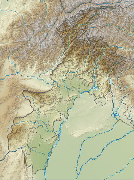
English: Relief map of Khyber Pakhtunwa. Same geolocation parameters as File:Pakistan Khyber Pakhtunkhwa location map.svg. Elevation data from STRM3. |
| Date | |
| Source | File:Pakistan_Khyber_Pakhtunkhwa_location_map.svg |
| Auteur | Own work based on Milenioscuro |
Conditions d’utilisation
Ce fichier est sous la licence Creative Commons Attribution – Partage dans les Mêmes Conditions 4.0 International.
- Vous êtes libre :
- de partager – de copier, distribuer et transmettre cette œuvre
- d’adapter – de modifier cette œuvre
- Sous les conditions suivantes :
- paternité – Vous devez donner les informations appropriées concernant l'auteur, fournir un lien vers la licence et indiquer si des modifications ont été faites. Vous pouvez faire cela par tout moyen raisonnable, mais en aucune façon suggérant que l’auteur vous soutient ou approuve l’utilisation que vous en faites.
- partage à l’identique – Si vous modifiez, transformez, ou vous basez sur cette œuvre, vous devez distribuer votre contribution sous la même licence ou une licence compatible avec celle de l’original.
Historique du fichier
Cliquer sur une date et heure pour voir le fichier tel qu'il était à ce moment-là.
| Date et heure | Vignette | Dimensions | Utilisateur | Commentaire | |
|---|---|---|---|---|---|
| actuel | 22 avril 2024 à 18:31 | | 859 × 1 154 (1,83 Mio) | GrandEscogriffe | north-south stretching |
| 3 octobre 2021 à 08:05 |  | 859 × 954 (1,83 Mio) | C1MM | Added more accurate relief | |
| 20 avril 2020 à 07:51 |  | 654 × 841 (1,26 Mio) | C1MM | Uploaded a work by Own work based on Milenioscuro from File:Pakistan_Khyber_Pakhtunkhwa_location_map.svg with UploadWizard |
Utilisation du fichier
Les 2 pages suivantes utilisent ce fichier :
Usage global du fichier
Les autres wikis suivants utilisent ce fichier :
- Utilisation sur an.wikipedia.org
- Utilisation sur de.wikipedia.org
- Tirich Mir
- Tarbela-Talsperre
- Istor-o-Nal
- Naran-Tal
- Lowari-Tunnel
- Karambar-Pass
- Akher Tsagh
- Tirich Mir West IV
- Tirich Mir West III
- Tirich Mir West II
- Saraghrar I
- Koyo Zom
- Buni Zom
- Falak Sher
- Thalo Zom
- Ghochhar Sar
- Karka (Berg)
- Chiantar Sar
- Chiantargletscher
- Udren Zom
- Roshgolgletscher
- Atrakgletscher
- Nobaism Zom
- Oberer Tirichgletscher
- Unterer Tirichgletscher
- Elum Ghar
- Thui I
- Thui II
- Shingeik Zom
- Gul Lasht Zom
- Talsperre Dasu
- Vorlage:Positionskarte Pakistan Khyber Pakhtunkhwa
- Utilisation sur en.wikipedia.org
Voir davantage sur l’utilisation globale de ce fichier.