
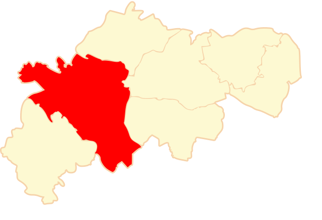
Fichier:POL powiat ostrzeszowski gmina Ostrzeszów map.svg

Taille de cet aperçu PNG pour ce fichier SVG : 750 × 513 pixels. Autres résolutions : 320 × 219 pixels | 640 × 438 pixels | 1 024 × 700 pixels | 1 280 × 876 pixels | 2 560 × 1 751 pixels.
Fichier d’origine (Fichier SVG, nominalement de 750 × 513 pixels, taille : 66 kio)
Ce fichier et sa description proviennent de Wikimedia Commons.
Description
| Description | |
| Date | 16 juin 2006 (date de téléversement originale) |
| Source | La source n’a pas pu être reconnue automatiquement. « Travail personnel » supposé (étant donné la revendication de droit d’auteur). |
| Auteur | L’auteur n’a pas pu être identifié automatiquement. Il est supposé qu'il s'agit de : WarX (étant donné la revendication de droit d’auteur). |
Author:
- real name: Artur Jan Fijałkowski
- pl.wiki: WarX
- commons: WarX
- mail: [1]
- jabber: WarX@jabber.org
- irc: [2]
- based on map from Państwowa Komisja Wyborcza ([3])
Conditions d’utilisation
Moi, en tant que détenteur des droits d’auteur sur cette œuvre, je la publie sous la licence suivante :
Ce fichier est disponible selon les termes de la licence Creative Commons Attribution – Partage dans les Mêmes Conditions 2.5 Générique
- Vous êtes libre :
- de partager – de copier, distribuer et transmettre cette œuvre
- d’adapter – de modifier cette œuvre
- Sous les conditions suivantes :
- paternité – Vous devez donner les informations appropriées concernant l'auteur, fournir un lien vers la licence et indiquer si des modifications ont été faites. Vous pouvez faire cela par tout moyen raisonnable, mais en aucune façon suggérant que l’auteur vous soutient ou approuve l’utilisation que vous en faites.
- partage à l’identique – Si vous modifiez, transformez, ou vous basez sur cette œuvre, vous devez distribuer votre contribution sous la même licence ou une licence compatible avec celle de l’original.
Historique du fichier
Cliquer sur une date et heure pour voir le fichier tel qu'il était à ce moment-là.
| Date et heure | Vignette | Dimensions | Utilisateur | Commentaire | |
|---|---|---|---|---|---|
| actuel | 16 juin 2006 à 17:08 | | 750 × 513 (66 kio) | WarX | category:Powiat ostrzeszowski * '''pl:''' gmina_Ostrzeszów na mapie powiatu ostrzeszowskiego ==Author:== {{subst:user:WarX/signature2}} * based on map from Państwowa Komisja Wyborcza ([http:// |
Utilisation du fichier
La page suivante utilise ce fichier :
Usage global du fichier
Les autres wikis suivants utilisent ce fichier :
- Utilisation sur be.wikipedia.org
- Utilisation sur pl.wikipedia.org
- Utilisation sur uk.wikipedia.org