
Fichier:Netherlands Utrecht location map.svg

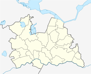
Taille de cet aperçu PNG pour ce fichier SVG : 735 × 599 pixels. Autres résolutions : 294 × 240 pixels | 589 × 480 pixels | 942 × 768 pixels | 1 256 × 1 024 pixels | 2 512 × 2 048 pixels | 1 002 × 817 pixels.
Fichier d’origine (Fichier SVG, nominalement de 1 002 × 817 pixels, taille : 84 kio)
Ce fichier et sa description proviennent de Wikimedia Commons.
Description
| Description |
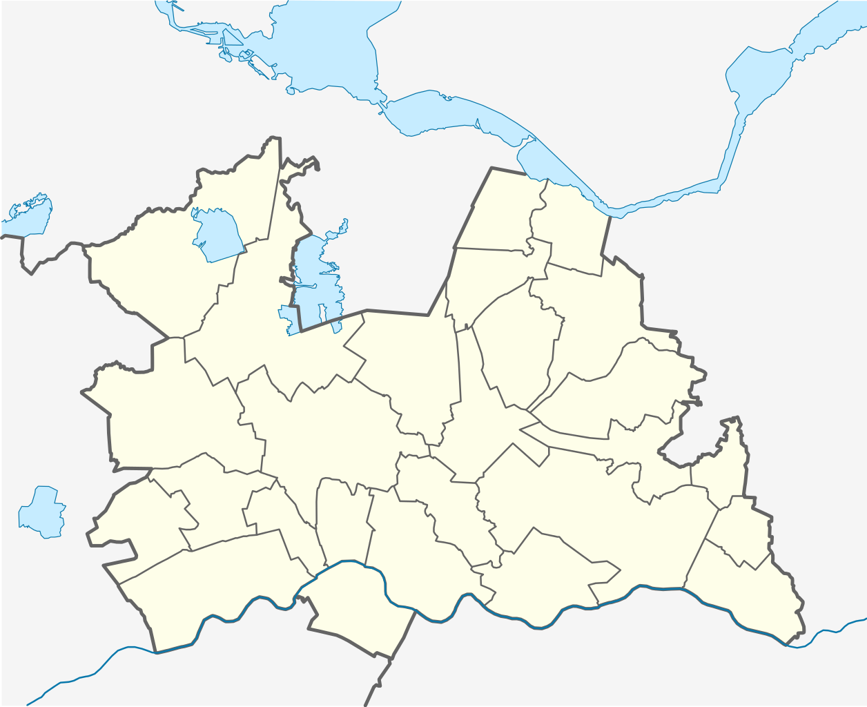
English: Location map of province Utrecht in the Netherlands
Equirectangular projection, N/S stretching 163 %. Geographic limits of the map:
Deutsch: Positionskarte von der Provinz Utrecht in den Niederlanden
Quadratische Plattkarte, N-S-Streckung 163 %. Geographische Begrenzung der Karte:
|
| Date | |
| Source | Travail personnel |
| Auteur | Erik Frohne |
| Autres versions | File:OSM - provincie Utrecht.PNG |

|
Cette carte a été créée ou améliorée dans le Kartenwerkstatt (Atelier cartographique allemand). Vous pouvez également y proposer des cartes à améliorer.
|
Conditions d’utilisation
Moi, en tant que détenteur des droits d’auteur sur cette œuvre, je la publie sous les licences suivantes :

|
Vous avez la permission de copier, distribuer et modifier ce document selon les termes de la GNU Free Documentation License version 1.2 ou toute version ultérieure publiée par la Free Software Foundation, sans sections inaltérables, sans texte de première page de couverture et sans texte de dernière page de couverture. Un exemplaire de la licence est inclus dans la section intitulée GNU Free Documentation License. |
Ce fichier est disponible selon les termes de la licence Creative Commons Attribution – Partage dans les Mêmes Conditions 3.0 (non transposée).
- Vous êtes libre :
- de partager – de copier, distribuer et transmettre cette œuvre
- d’adapter – de modifier cette œuvre
- Sous les conditions suivantes :
- paternité – Vous devez donner les informations appropriées concernant l'auteur, fournir un lien vers la licence et indiquer si des modifications ont été faites. Vous pouvez faire cela par tout moyen raisonnable, mais en aucune façon suggérant que l’auteur vous soutient ou approuve l’utilisation que vous en faites.
- partage à l’identique – Si vous modifiez, transformez, ou vous basez sur cette œuvre, vous devez distribuer votre contribution sous la même licence ou une licence compatible avec celle de l’original.
Vous pouvez choisir l’une de ces licences.
Historique du fichier
Cliquer sur une date et heure pour voir le fichier tel qu'il était à ce moment-là.
| Date et heure | Vignette | Dimensions | Utilisateur | Commentaire | |
|---|---|---|---|---|---|
| actuel | 29 décembre 2013 à 20:25 | | 1 002 × 817 (84 kio) | NordNordWest | update 2013 |
| 9 avril 2009 à 14:40 |  | 1 002 × 817 (158 kio) | Erik Frohne | Correction of drawing frame (oops) | |
| 9 avril 2009 à 14:38 |  | 470 × 1 000 (158 kio) | Erik Frohne | {{Information |Description={{en|1=Location map of province Utrecht in the Netherlands Equirectangular projection, N/S stretching 163 %. Geographic limits of the map: * N: 52.40° N * S: 51.90° N * W: 4.70° E * E: 5.70° E}} {{de|1=Positionskarte von |
Utilisation du fichier
Aucune page n’utilise ce fichier.
Usage global du fichier
Les autres wikis suivants utilisent ce fichier :
- Utilisation sur cs.wikipedia.org
- Utilisation sur eo.wikipedia.org
- Utilisation sur es.wikipedia.org
- Utilisation sur gl.wikipedia.org
- Utilisation sur he.wikipedia.org
- Utilisation sur kbd.wikipedia.org
- Utilisation sur os.wikipedia.org
- Utilisation sur pl.wikipedia.org
- Woerden
- Utrecht
- Amersfoort
- Zeist
- Utrecht Centraal
- Stadion Galgenwaard
- Woerden (stacja kolejowa)
- Amersfoort (stacja kolejowa)
- Baarn (stacja kolejowa)
- Veenendaal
- Baarn
- Nieuwegein
- Archikatedra św. Gertrudy w Utrechcie
- Soest (Holandia)
- Katedra św. Katarzyny w Utrechcie
- Amerongen
- Doorn
- Rhenen
- Archidiecezja Utrechtu
- Parafia św. Gertrudy w Utrechcie
- Dom Rietvelda w Utrechcie
- Pałac Soestdijk
- Maarssen
Voir davantage sur l’utilisation globale de ce fichier.