
Fichier:Map of the United States with flags with territories and DC final2.png
Taille de cet aperçu : 800 × 505 pixels. Autres résolutions : 320 × 202 pixels | 640 × 404 pixels | 1 024 × 646 pixels | 1 600 × 1 010 pixels.
Fichier d’origine (1 600 × 1 010 pixels, taille du fichier : 518 kio, type MIME : image/png)
Ce fichier et sa description proviennent de Wikimedia Commons.
Description
| Description |
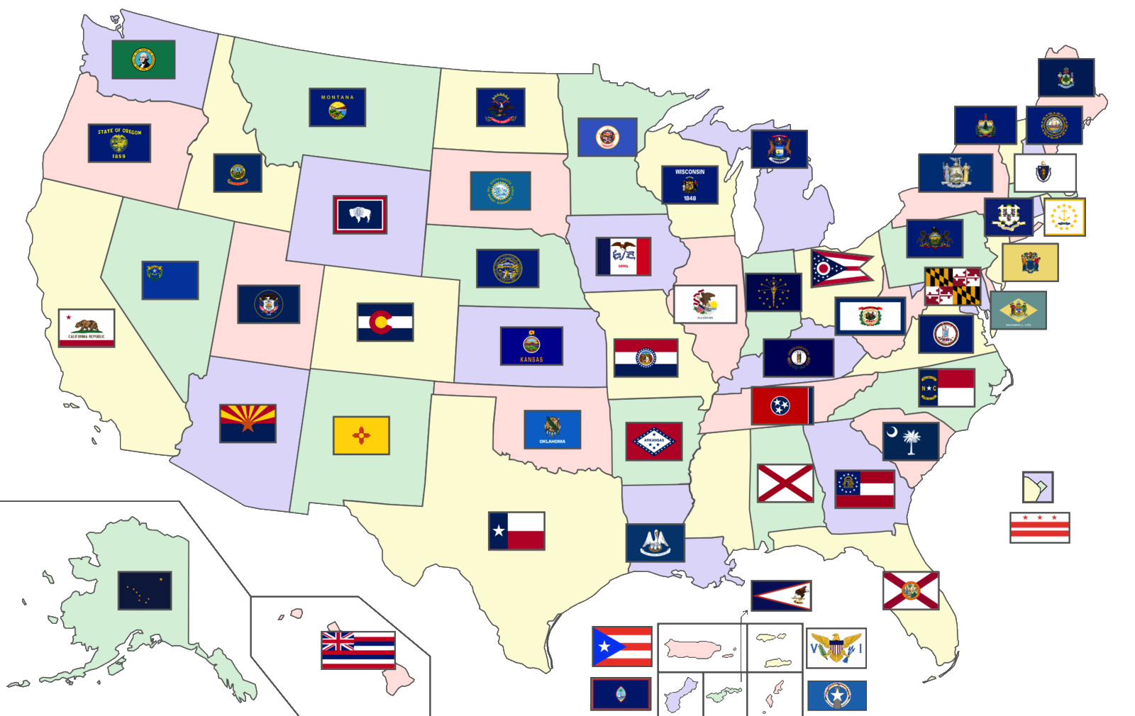
English: A map of the United States showing the flags of the 50 U.S. states, the District of Columbia, and the 5 inhabited U.S. territories (Total number of flags: 56) |
| Date | |
| Source | Modified version of map already on Wikimedia Commons; Flags are in public domain |
| Auteur | Original author: User:SiBr4 |
Conditions d’utilisation
Ce fichier est disponible selon les termes de la licence Creative Commons Attribution – Partage dans les Mêmes Conditions 3.0 (non transposée).
- Vous êtes libre :
- de partager – de copier, distribuer et transmettre cette œuvre
- d’adapter – de modifier cette œuvre
- Sous les conditions suivantes :
- paternité – Vous devez donner les informations appropriées concernant l'auteur, fournir un lien vers la licence et indiquer si des modifications ont été faites. Vous pouvez faire cela par tout moyen raisonnable, mais en aucune façon suggérant que l’auteur vous soutient ou approuve l’utilisation que vous en faites.
- partage à l’identique – Si vous modifiez, transformez, ou vous basez sur cette œuvre, vous devez distribuer votre contribution sous la même licence ou une licence compatible avec celle de l’original.
Historique du fichier
Cliquer sur une date et heure pour voir le fichier tel qu'il était à ce moment-là.
| Date et heure | Vignette | Dimensions | Utilisateur | Commentaire | |
|---|---|---|---|---|---|
| actuel | 10 novembre 2020 à 18:00 | | 1 600 × 1 010 (518 kio) | CapLiber | transparent background |
| 20 octobre 2020 à 20:57 |  | 1 600 × 1 010 (571 kio) | The Image Editor | Updated New York flag as of April 2020 | |
| 17 août 2020 à 22:55 |  | 2 000 × 1 263 (557 kio) | Davidwr | Reverted to version as of 01:39, 29 June 2020 (UTC) - the August 10 version was missing territorial flags | |
| 10 août 2020 à 07:36 |  | 2 000 × 1 263 (493 kio) | RootOfAllLight | N/A | |
| 29 juin 2020 à 03:39 |  | 2 000 × 1 263 (557 kio) | BasilLeaf | State of Mississipi wil officially have no flag until at least November 3rd, 2020, as per State law passed on June 28th, 2020. | |
| 7 septembre 2019 à 19:03 |  | 2 000 × 1 263 (390 kio) | LumaP15 | User created page with UploadWizard |
Utilisation du fichier
Aucune page n’utilise ce fichier.
Usage global du fichier
Les autres wikis suivants utilisent ce fichier :
- Utilisation sur ml.wikipedia.org
- Utilisation sur tr.wikipedia.org