
Fichier:Map of pipelines in Colombia blank.png
Taille de cet aperçu : 420 × 600 pixels. Autres résolutions : 168 × 240 pixels | 336 × 480 pixels | 844 × 1 205 pixels.
Fichier d’origine (844 × 1 205 pixels, taille du fichier : 1,28 Mio, type MIME : image/png)
Ce fichier et sa description proviennent de Wikimedia Commons.
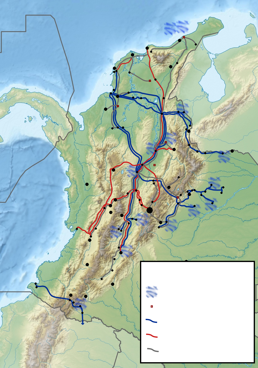
| Description | Map of the pipelines in Colombia |
| Date | (UTC) |
| Source | |
| Auteur |
|
| Autres versions |
|

| Cette image a été retouchée, ce qui signifie qu'elle a été modifiée par ordinateur et est différente de l'image d'origine. Liste des modifications : Pipelines of Colombia. L'image d'origine se trouve ici : Colombia relief location map.jpg:
|
Moi, en tant que détenteur des droits d’auteur sur cette œuvre, je la publie sous la licence suivante :
Ce fichier est disponible selon les termes de la licence Creative Commons Attribution – Partage dans les Mêmes Conditions 3.0 (non transposée).
- Vous êtes libre :
- de partager – de copier, distribuer et transmettre cette œuvre
- d’adapter – de modifier cette œuvre
- Sous les conditions suivantes :
- paternité – Vous devez donner les informations appropriées concernant l'auteur, fournir un lien vers la licence et indiquer si des modifications ont été faites. Vous pouvez faire cela par tout moyen raisonnable, mais en aucune façon suggérant que l’auteur vous soutient ou approuve l’utilisation que vous en faites.
- partage à l’identique – Si vous modifiez, transformez, ou vous basez sur cette œuvre, vous devez distribuer votre contribution sous la même licence ou une licence compatible avec celle de l’original.
Journal des téléversements d’origine
This image is a derivative work of the following images:
- File:Colombia_relief_location_map.jpg licensed with Cc-by-sa-3.0
- 2010-02-06T12:38:55Z Alexrk2 1516x1736 (922328 Bytes) {{Information |Description= {{de|Physische Positionskarte von [[:de:Kolumbien|Kolumbien]] Quadratische Plattkarte. Geographische Begrenzung der Karte:}} {{en|Physical Location map of [[:en:Colombia|Colombia]] Equirectangular
Téléversé avec derivativeFX
Historique du fichier
Cliquer sur une date et heure pour voir le fichier tel qu'il était à ce moment-là.
| Date et heure | Vignette | Dimensions | Utilisateur | Commentaire | |
|---|---|---|---|---|---|
| actuel | 30 novembre 2010 à 19:57 | | 844 × 1 205 (1,28 Mio) | Dr Brains | fixed some mistakes |
| 30 novembre 2010 à 17:53 |  | 844 × 1 205 (1,27 Mio) | Dr Brains | Forgot cities... | |
| 30 novembre 2010 à 17:49 |  | 844 × 1 205 (1,28 Mio) | Dr Brains | {{Information |Description=Map of the pipelines in Colombia |Source=*File:Colombia_relief_location_map.jpg |Date=2010-11-30 15:46 (UTC) |Author=*File:Colombia_relief_location_map.jpg: Grundkarte Shadowxfox, Relief [[:de:Ben |
Utilisation du fichier
Aucune page n’utilise ce fichier.
Usage global du fichier
Les autres wikis suivants utilisent ce fichier :
- Utilisation sur en.wikipedia.org