
Fichier:Map of municipalities of Colombia 2007.svg

Taille de cet aperçu PNG pour ce fichier SVG : 506 × 600 pixels. Autres résolutions : 202 × 240 pixels | 405 × 480 pixels | 648 × 768 pixels | 864 × 1 024 pixels | 1 727 × 2 048 pixels | 512 × 607 pixels.
Fichier d’origine (Fichier SVG, nominalement de 512 × 607 pixels, taille : 3,01 Mio)
Ce fichier et sa description proviennent de Wikimedia Commons.
Description
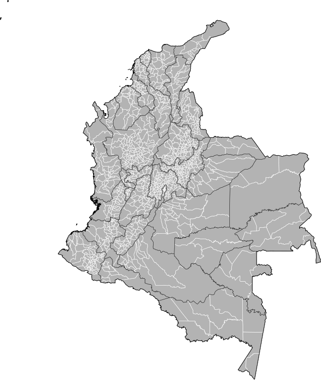
| Description | Map of the municipalities of Colombia. Created by Rarelibra 15:39, 23 October 2007 (UTC) for public domain use, using MapInfo Professional v8.5 and various mapping resources. NOTE: Map includes the localidades of Bogota. |
| Date | 23 octobre 2007 (date de téléversement originale) |
| Source | La source n’a pas pu être reconnue automatiquement. « Travail personnel » supposé (étant donné la revendication de droit d’auteur). |
| Auteur | L’auteur n’a pas pu être identifié automatiquement. Il est supposé qu'il s'agit de : Rarelibra (étant donné la revendication de droit d’auteur). |
Conditions d’utilisation
| Moi, propriétaire des droits d’auteur sur cette œuvre, la place dans le domaine public. Ceci s'applique dans le monde entier. Dans certains pays, ceci peut ne pas être possible ; dans ce cas : J’accorde à toute personne le droit d’utiliser cette œuvre dans n’importe quel but, sans aucune condition, sauf celles requises par la loi. |
Historique du fichier
Cliquer sur une date et heure pour voir le fichier tel qu'il était à ce moment-là.
| Date et heure | Vignette | Dimensions | Utilisateur | Commentaire | |
|---|---|---|---|---|---|
| actuel | 4 février 2013 à 22:59 | | 512 × 607 (3,01 Mio) | Milenioscuro | correction of some departmental borders |
| 22 février 2012 à 00:51 |  | 512 × 607 (3 Mio) | Milenioscuro | added locator, thick lines | |
| 22 février 2012 à 00:38 |  | 512 × 607 (2,96 Mio) | Milenioscuro | added new municipalities, larger size | |
| 24 octobre 2007 à 20:53 |  | 512 × 323 (2,47 Mio) | Rarelibra | corrected version - thank you to User Bogomolov for pointing out the error! | |
| 23 octobre 2007 à 17:39 |  | 512 × 324 (2,42 Mio) | Rarelibra | Map of the municipalities of Colombia. Created by ~~~~ for public domain use, using MapInfo Professional v8.5 and various mapping resources. |
Utilisation du fichier
La page suivante utilise ce fichier :