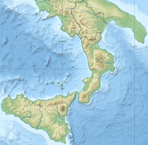
Fichier:Magna Graecia relief location map.jpg
Apparence
Magna_Graecia_relief_location_map.jpg (497 × 487 pixels, taille du fichier : 198 kio, type MIME : image/jpeg)
Historique du fichier
Cliquer sur une date et heure pour voir le fichier tel qu'il était à ce moment-là.
| Date et heure | Vignette | Dimensions | Utilisateur | Commentaire | |
|---|---|---|---|---|---|
| actuel | 5 décembre 2013 à 19:50 |  | 497 × 487 (198 kio) | Andrew Dalby | {{Information |Description=Location map for ancient Greek colonies in southern Italy and Sicily Equirectangular projection, WGS84 datum |Source=File:Italy relief location map.jpg |Date=2013 |Author=User:Andrew Dalby: derivative, based on work by [[... |
Utilisation du fichier
Les 3 pages suivantes utilisent ce fichier :
Usage global du fichier
Les autres wikis suivants utilisent ce fichier :
- Utilisation sur la.wikipedia.org


