
Fichier:MA towns.png

Taille de cet aperçu : 800 × 491 pixels. Autres résolutions : 320 × 196 pixels | 640 × 393 pixels | 1 024 × 629 pixels | 1 280 × 786 pixels | 2 560 × 1 571 pixels | 12 103 × 7 429 pixels.
Fichier d’origine (12 103 × 7 429 pixels, taille du fichier : 3,32 Mio, type MIME : image/png)
Ce fichier et sa description proviennent de Wikimedia Commons.
| Cette œuvre a été placée dans le domaine public par son auteur, SPUI. Ceci s’applique dans le monde entier. Dans certains pays, ceci peut ne pas être possible ; dans ce cas : |
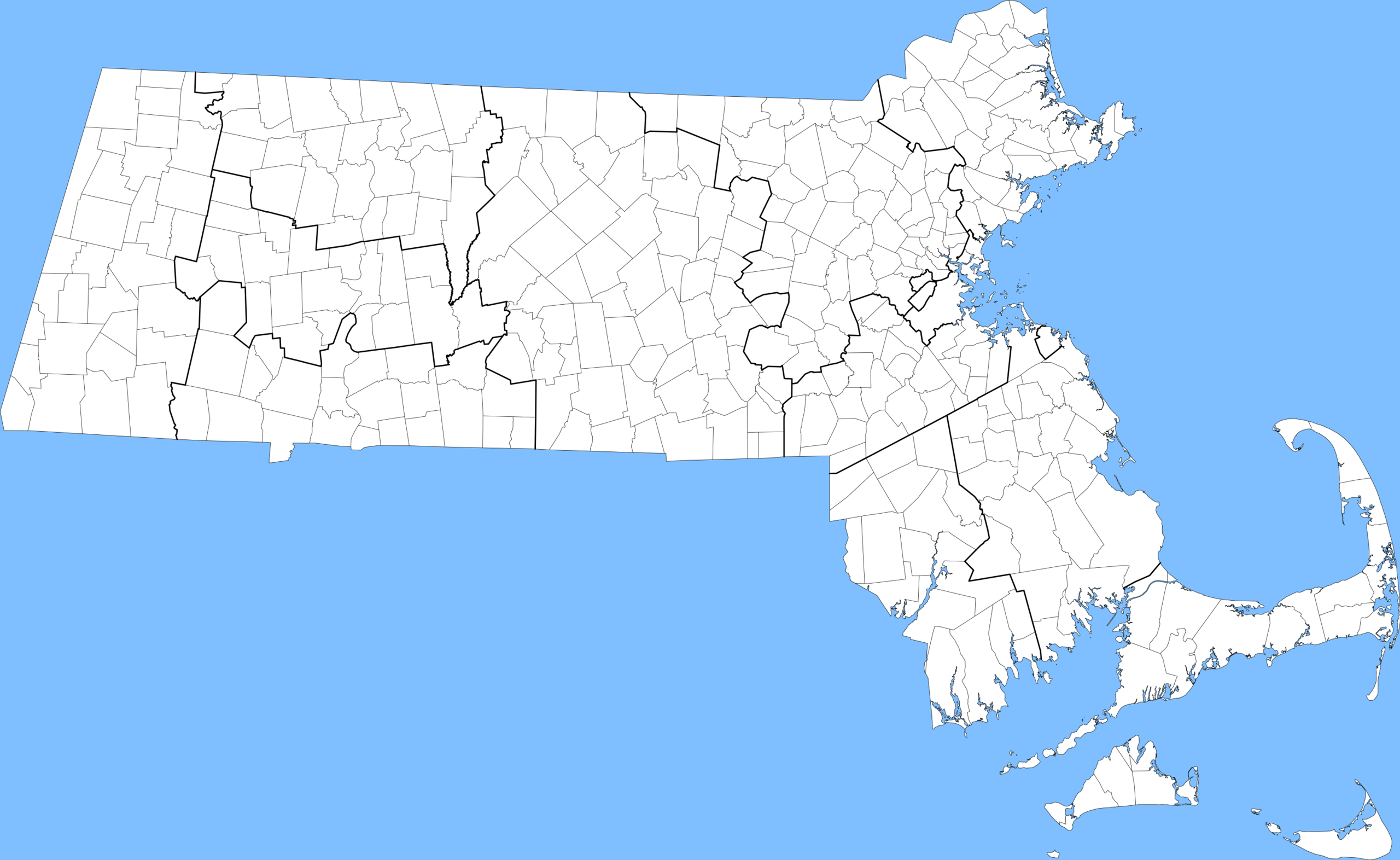
Towns in Massachusetts, with county lines bolded.
Historique du fichier
Cliquer sur une date et heure pour voir le fichier tel qu'il était à ce moment-là.
| Date et heure | Vignette | Dimensions | Utilisateur | Commentaire | |
|---|---|---|---|---|---|
| actuel | 25 mai 2005 à 17:30 | | 12 103 × 7 429 (3,32 Mio) | SPUI~commonswiki | {{spuimap}} Towns in Massachusetts, with county lines bolded. Data source: [http://www.mass.gov/mgis/download.htm Office of Geographic and Environmental Information (MassGIS), Commonwealth of Massachusetts Executive Office of Environmental Affairs] [[cat |
Utilisation du fichier
Aucune page n’utilise ce fichier.