
Fichier:Location map of Cass County, Indiana.svg

Taille de cet aperçu PNG pour ce fichier SVG : 600 × 600 pixels. Autres résolutions : 240 × 240 pixels | 480 × 480 pixels | 768 × 768 pixels | 1 024 × 1 024 pixels | 2 048 × 2 048 pixels.
Fichier d’origine (Fichier SVG, nominalement de 768 × 768 pixels, taille : 221 kio)
Ce fichier et sa description proviennent de Wikimedia Commons.
Description
| Description |
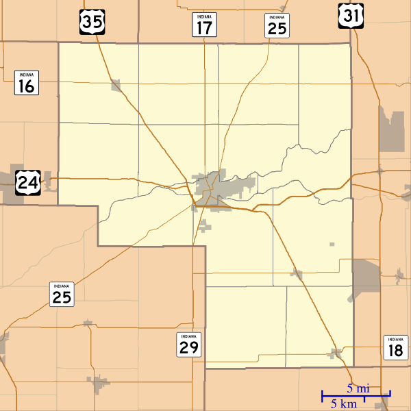
English: This is a map of Cass County, Indiana, USA which includes incorporated settlements, township borders, and major highways. |
| Date | |
| Source | My own work, using custom-written MapScript applications with United States Census Bureau data |
| Auteur | Omnedon |
Conditions d’utilisation
| Moi, propriétaire des droits d’auteur sur cette œuvre, la place dans le domaine public. Ceci s'applique dans le monde entier. Dans certains pays, ceci peut ne pas être possible ; dans ce cas : J’accorde à toute personne le droit d’utiliser cette œuvre dans n’importe quel but, sans aucune condition, sauf celles requises par la loi. |
Historique du fichier
Cliquer sur une date et heure pour voir le fichier tel qu'il était à ce moment-là.
| Date et heure | Vignette | Dimensions | Utilisateur | Commentaire | |
|---|---|---|---|---|---|
| actuel | 18 septembre 2012 à 05:12 | | 768 × 768 (221 kio) | Omnedon | == {{int:filedesc}} == {{Information |Description={{en|This is a map of Cass County, Indiana, USA which includes incorporated settlements, township borders, and major highways.}} |Source=My own work, using custom-written [ht... |
Utilisation du fichier
La page suivante utilise ce fichier :
Usage global du fichier
Les autres wikis suivants utilisent ce fichier :
- Utilisation sur ar.wikipedia.org
- Utilisation sur azb.wikipedia.org
- Utilisation sur ceb.wikipedia.org
- Utilisation sur en.wikipedia.org
- Twelve Mile, Indiana
- Clymers, Indiana
- Metea, Indiana
- Adamsboro, Indiana
- Anoka, Indiana
- Deacon, Indiana
- Dunkirk, Cass County, Indiana
- Georgetown, Cass County, Indiana
- Hoover, Indiana
- Lake Cicott, Indiana
- Lewisburg, Indiana
- Lincoln, Indiana
- Lucerne, Indiana
- Miami Bend, Indiana
- New Waverly, Indiana
- Young America, Indiana
- Cass County Dentzel Carousel
- Module:Location map/data/USA Indiana Cass County/doc
- Pleasant Hill Church (Clinton, Indiana)
- Josephus Atkinson Farm
- Thompson Barnett House
- Jerolaman-Long House
- Kendrick-Baldwin House
- Ferguson House (Logansport, Indiana)
- Willard B. Place House
- John Keip House
- Henry Tousley House
- Pollard-Nelson House
- Point Historic District (Logansport, Indiana)
- Courthouse Historic District (Logansport, Indiana)
- Bankers Row Historic District
- Pipe Creek Falls Resort
- Washington School (Logansport, Indiana)
- Module:Location map/data/USA Indiana Cass County
- Utilisation sur fa.wikipedia.org
Voir davantage sur l’utilisation globale de ce fichier.