
Fichier:Location map of AegeanIslands (Greece).svg

Taille de cet aperçu PNG pour ce fichier SVG : 693 × 599 pixels. Autres résolutions : 278 × 240 pixels | 555 × 480 pixels | 888 × 768 pixels | 1 184 × 1 024 pixels | 2 369 × 2 048 pixels | 8 460 × 7 315 pixels.
Fichier d’origine (Fichier SVG, nominalement de 8 460 × 7 315 pixels, taille : 1,87 Mio)
Ce fichier et sa description proviennent de Wikimedia Commons.
.svg?uselang=fr)
Description
| Description |
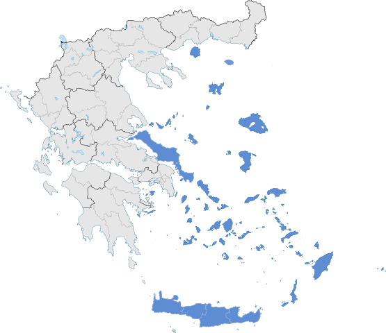
English: The location of Greek Aegean Islands within Greece. |
| Date | |
| Source | Travail personnel |
| Auteur | SilentResident,Philly boy92 |
Conditions d’utilisation
Moi, en tant que détenteur des droits d’auteur sur cette œuvre, je la publie sous la licence suivante :
Ce fichier est disponible selon les termes de la licence Creative Commons Attribution – Partage dans les Mêmes Conditions 3.0 (non transposée).
- Vous êtes libre :
- de partager – de copier, distribuer et transmettre cette œuvre
- d’adapter – de modifier cette œuvre
- Sous les conditions suivantes :
- paternité – Vous devez donner les informations appropriées concernant l'auteur, fournir un lien vers la licence et indiquer si des modifications ont été faites. Vous pouvez faire cela par tout moyen raisonnable, mais en aucune façon suggérant que l’auteur vous soutient ou approuve l’utilisation que vous en faites.
- partage à l’identique – Si vous modifiez, transformez, ou vous basez sur cette œuvre, vous devez distribuer votre contribution sous la même licence ou une licence compatible avec celle de l’original.
Historique du fichier
Cliquer sur une date et heure pour voir le fichier tel qu'il était à ce moment-là.
| Date et heure | Vignette | Dimensions | Utilisateur | Commentaire | |
|---|---|---|---|---|---|
| actuel | 18 juillet 2021 à 08:10 | | 8 460 × 7 315 (1,87 Mio) | SilentResident | Correcting Euboea and Crete, which for some strange reason I missed marking them as Aegean Islands even though they are. |
| 21 août 2018 à 05:22 |  | 8 460 × 7 315 (1,83 Mio) | SilentResident | Reverted to version as of 17:09, 17 January 2015 (UTC) The islands are part of geographical Aegean Sea nevertheless. | |
| 25 mars 2016 à 13:28 |  | 8 460 × 7 315 (1,37 Mio) | Nikospag | Thasos and Sporades are not part of Aegean Islands region | |
| 17 janvier 2015 à 19:09 |  | 8 460 × 7 315 (1,83 Mio) | SilentResident | {{Information |Description ={{en|1=The location of Greek Aegean Islands within Greece.}} |Source ={{own}} |Author =SilentResident,Philly boy92 |Date =2014-01-17 |Permission... |
Utilisation du fichier
Les 2 pages suivantes utilisent ce fichier :
Usage global du fichier
Les autres wikis suivants utilisent ce fichier :
- Utilisation sur ar.wikipedia.org
- Utilisation sur el.wikipedia.org
- Utilisation sur en.wikipedia.org
- Utilisation sur eu.wikipedia.org
- Utilisation sur fi.wikipedia.org
- Utilisation sur hyw.wikipedia.org
- Utilisation sur ml.wikipedia.org
- Utilisation sur sr.wikipedia.org
- Utilisation sur ta.wikipedia.org
- Utilisation sur th.wikipedia.org
- Utilisation sur www.wikidata.org
.svg)