
Fichier:Landshut, Germany Landsat 2000.png
Taille de cet aperçu : 800 × 527 pixels. Autres résolutions : 320 × 211 pixels | 640 × 421 pixels | 992 × 653 pixels.
Fichier d’origine (992 × 653 pixels, taille du fichier : 1,35 Mio, type MIME : image/png)
Ce fichier et sa description proviennent de Wikimedia Commons.
| Description |
|
|||
| Source | NASA Worldwind | |||
| Auteur | Photographie : NASA | |||
| Autorisation (Réutilisation de ce fichier) |
|

Historique du fichier
Cliquer sur une date et heure pour voir le fichier tel qu'il était à ce moment-là.
| Date et heure | Vignette | Dimensions | Utilisateur | Commentaire | |
|---|---|---|---|---|---|
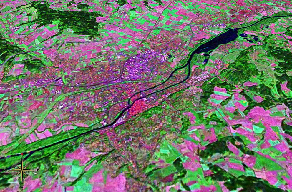
| actuel | 25 novembre 2006 à 20:20 | | 992 × 653 (1,35 Mio) | 2000 | {{Information |Description= *Landsat 2000 satellite image of Landshut, Lower Bavaria, Germany heading north, using NASA Worldwind software; *Latitude:48.54064°N, Longitude:12.15672°E *Tilt: 45° |Source=NASA Worldwind |Date= |Author= |Permission={{PD-W |
| 25 novembre 2006 à 20:14 |  | 992 × 653 (1,35 Mio) | 2000 | {{Information |Description= *Landsat 2000 satellite image of Landshut, Lower Bavaria, Germany heading north, using NASA Worldwind software; *Latitude:48.54064°N, Longitude:12.15672°E *Tilt: 45° |Source=NASA Worldwind |Date= |Author= |Permission={{PD-W |
Utilisation du fichier
La page suivante utilise ce fichier :
Usage global du fichier
Les autres wikis suivants utilisent ce fichier :