
Fichier:Ipswich UK ward map 2010 (blank).svg

Taille de cet aperçu PNG pour ce fichier SVG : 625 × 600 pixels. Autres résolutions : 250 × 240 pixels | 500 × 480 pixels | 800 × 768 pixels | 1 067 × 1 024 pixels | 2 134 × 2 048 pixels | 1 319 × 1 266 pixels.
Fichier d’origine (Fichier SVG, nominalement de 1 319 × 1 266 pixels, taille : 217 kio)
Ce fichier et sa description proviennent de Wikimedia Commons.
.svg?uselang=fr)
| Description |
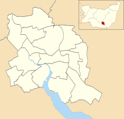
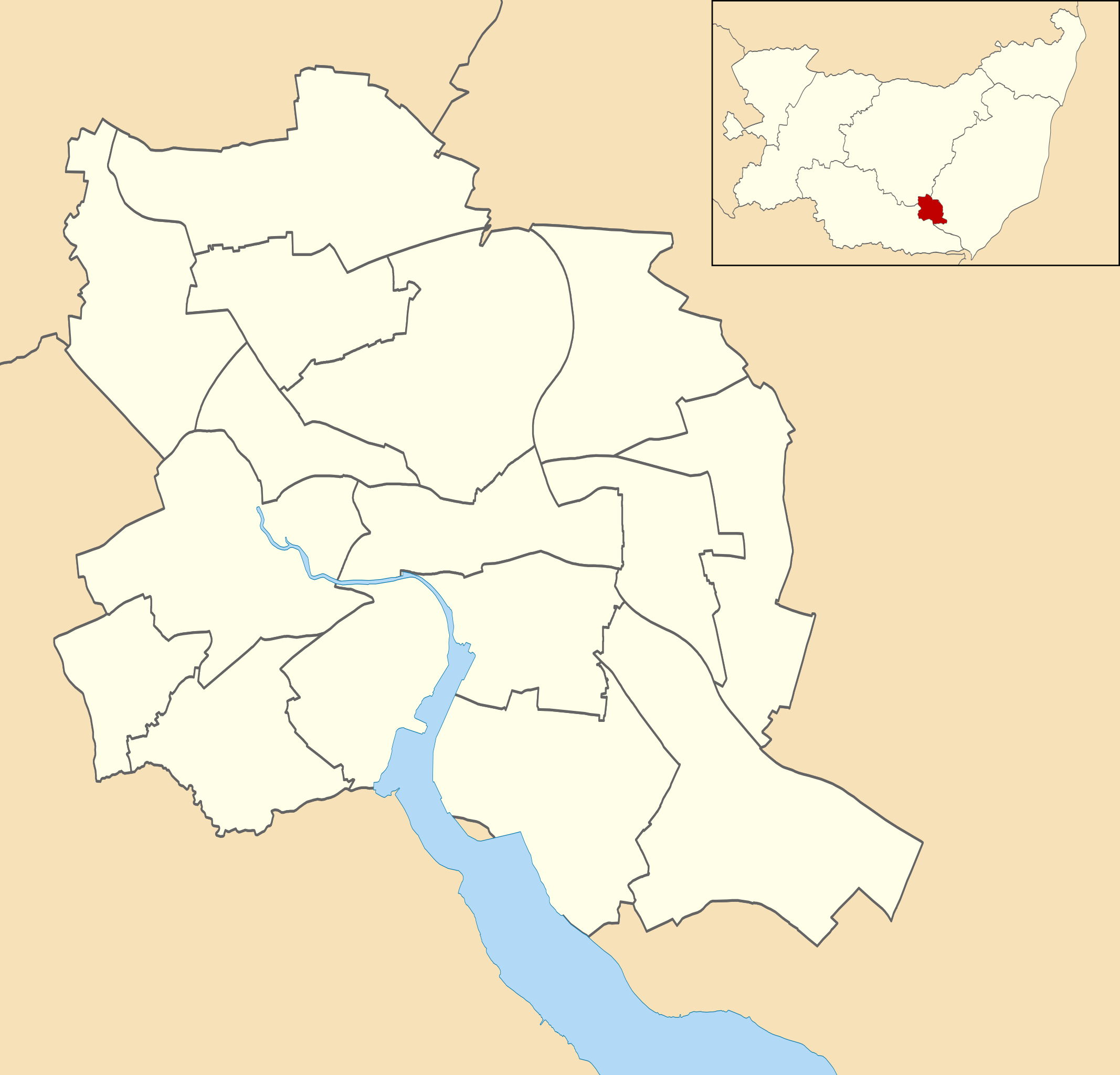
Map of Ipswich, Suffolk, UK with electoral wards shown. Equirectangular map projection on WGS 84 datum, with N/S stretched 160% Geographic limits:
|
| Date | |
| Source |
|
| Auteur | Nilfanion, created using Ordnance Survey data |
| Autorisation (Réutilisation de ce fichier) |
Ce fichier est disponible selon les termes de la licence Creative Commons Attribution – Partage dans les Mêmes Conditions 3.0 (non transposée). Attribution: Contains Ordnance Survey data © Crown copyright and database right
|
Historique du fichier
Cliquer sur une date et heure pour voir le fichier tel qu'il était à ce moment-là.
| Date et heure | Vignette | Dimensions | Utilisateur | Commentaire | |
|---|---|---|---|---|---|
| actuel | 25 avril 2011 à 01:55 | | 1 319 × 1 266 (217 kio) | Nilfanion | {{Information |Description=Map of Ipswich, Suffolk, UK with electoral wards shown. Equirectangular map projection on WGS 84 datum, with N/S stretched 160% Geographic limits: *West: 1.10E *East: 1.25E *North: 52.10N *South: 52.01N |Source=[[w:Ordnance Su |
Utilisation du fichier
La page suivante utilise ce fichier :
Usage global du fichier
Les autres wikis suivants utilisent ce fichier :
- Utilisation sur ar.wikipedia.org
- Utilisation sur en.wikipedia.org
- Ipswich Airport
- St Pancras Church, Ipswich
- St Mary at Stoke
- St Mary-at-the-Quay Church, Ipswich
- St Mark, Ipswich
- St Mary, Woodbridge Road
- Mary Magdalen, Ipswich
- Module:Location map/data/United Kingdom Ipswich/doc
- Ipswich Blackfriars
- List of electoral wards in Suffolk
- Module:Location map/data/United Kingdom Ipswich
- St Peter's Church, Ipswich
- St Margaret's Church, Ipswich
- User:Chelston-temp-1/List of electoral wards in Suffolk
- St Helen's Church, Ipswich
- St Matthew's Church, Ipswich
- Utilisation sur fa.wikipedia.org
- Utilisation sur kn.wikipedia.org
- Utilisation sur si.wikipedia.org
- Utilisation sur tr.wikipedia.org
.svg)