
Fichier:Hesse Regierungsbezirk Darmstadt location map.svg

Taille de cet aperçu PNG pour ce fichier SVG : 566 × 497 pixels. Autres résolutions : 273 × 240 pixels | 547 × 480 pixels | 875 × 768 pixels | 1 166 × 1 024 pixels | 2 332 × 2 048 pixels.
Fichier d’origine (Fichier SVG, nominalement de 566 × 497 pixels, taille : 246 kio)
Ce fichier et sa description proviennent de Wikimedia Commons.
Description
| Description |
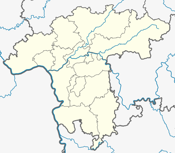
Deutsch: Positionskarte Regierungsbezirk Darmstadt in Hessen, Deutschland. Geographische Begrenzung der Karte:
English: Location map of Regierungsbezirk Darmstadt, Hesse, Germany. Geographic limits of the map:
|
| Date | |
| Source | Travail personnel basé sur : Hesse location map.svg de TUBS |
| Auteur | NordNordWest |
Conditions d’utilisation
Moi, en tant que détenteur des droits d’auteur sur cette œuvre, je la publie sous la licence suivante :
Ce fichier est disponible selon les termes de la licence Creative Commons Attribution – Partage dans les Mêmes Conditions 3.0 Allemagne.
- Vous êtes libre :
- de partager – de copier, distribuer et transmettre cette œuvre
- d’adapter – de modifier cette œuvre
- Sous les conditions suivantes :
- paternité – Vous devez donner les informations appropriées concernant l'auteur, fournir un lien vers la licence et indiquer si des modifications ont été faites. Vous pouvez faire cela par tout moyen raisonnable, mais en aucune façon suggérant que l’auteur vous soutient ou approuve l’utilisation que vous en faites.
- partage à l’identique – Si vous modifiez, transformez, ou vous basez sur cette œuvre, vous devez distribuer votre contribution sous la même licence ou une licence compatible avec celle de l’original.

Historique du fichier
Cliquer sur une date et heure pour voir le fichier tel qu'il était à ce moment-là.
| Date et heure | Vignette | Dimensions | Utilisateur | Commentaire | |
|---|---|---|---|---|---|
| actuel | 6 octobre 2020 à 17:03 | | 566 × 497 (246 kio) | NordNordWest | == {{int:filedesc}} == {{Information |Description= {{de|Positionskarte Regierungsbezirk Darmstadt in Hessen, Deutschland. Geographische Begrenzung der Karte:}} {{en|Location map of Regierungsbezirk Darmstadt, Hesse, Germany. Geographic limits of the map:}} * N: * S: * W: * E: |Source={{own based|Hesse location map.svg|by=TUBS}} |Date=2020-09-06 |Author={{U|NordNordWest}} |Permission= |other_versions= }} == {{int:license-header}} == {{self|cc-by-sa-3.0-de}} [[Category:Location maps of He... |
Utilisation du fichier
La page suivante utilise ce fichier :
Usage global du fichier
Les autres wikis suivants utilisent ce fichier :