
Fichier:France location map-Departements 1997-2014.svg

Taille de cet aperçu PNG pour ce fichier SVG : 624 × 600 pixels. Autres résolutions : 250 × 240 pixels | 499 × 480 pixels | 799 × 768 pixels | 1 066 × 1 024 pixels | 2 131 × 2 048 pixels | 2 000 × 1 922 pixels.
Fichier d’origine (Fichier SVG, nominalement de 2 000 × 1 922 pixels, taille : 783 kio)
Ce fichier et sa description proviennent de Wikimedia Commons.
Description
| Lieu de la prise de vue | | Voir cet endroit et d’autres images sur : OpenStreetMap |
|---|
| Description |
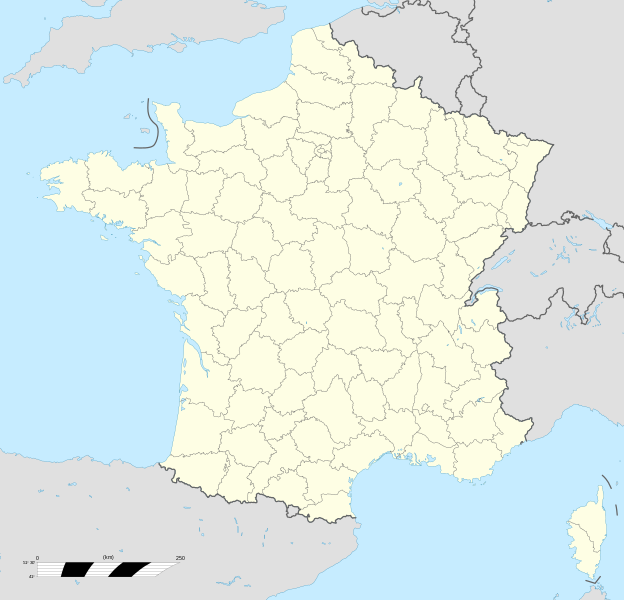
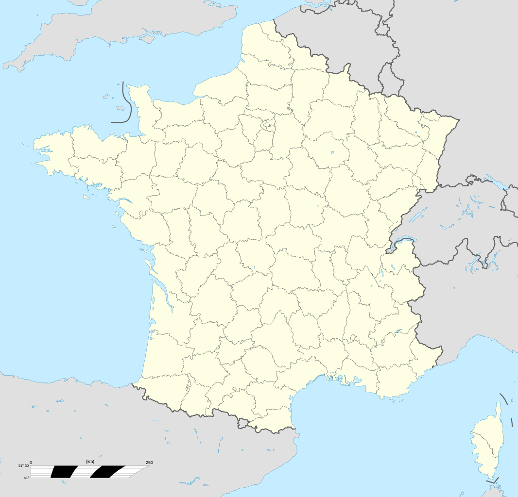
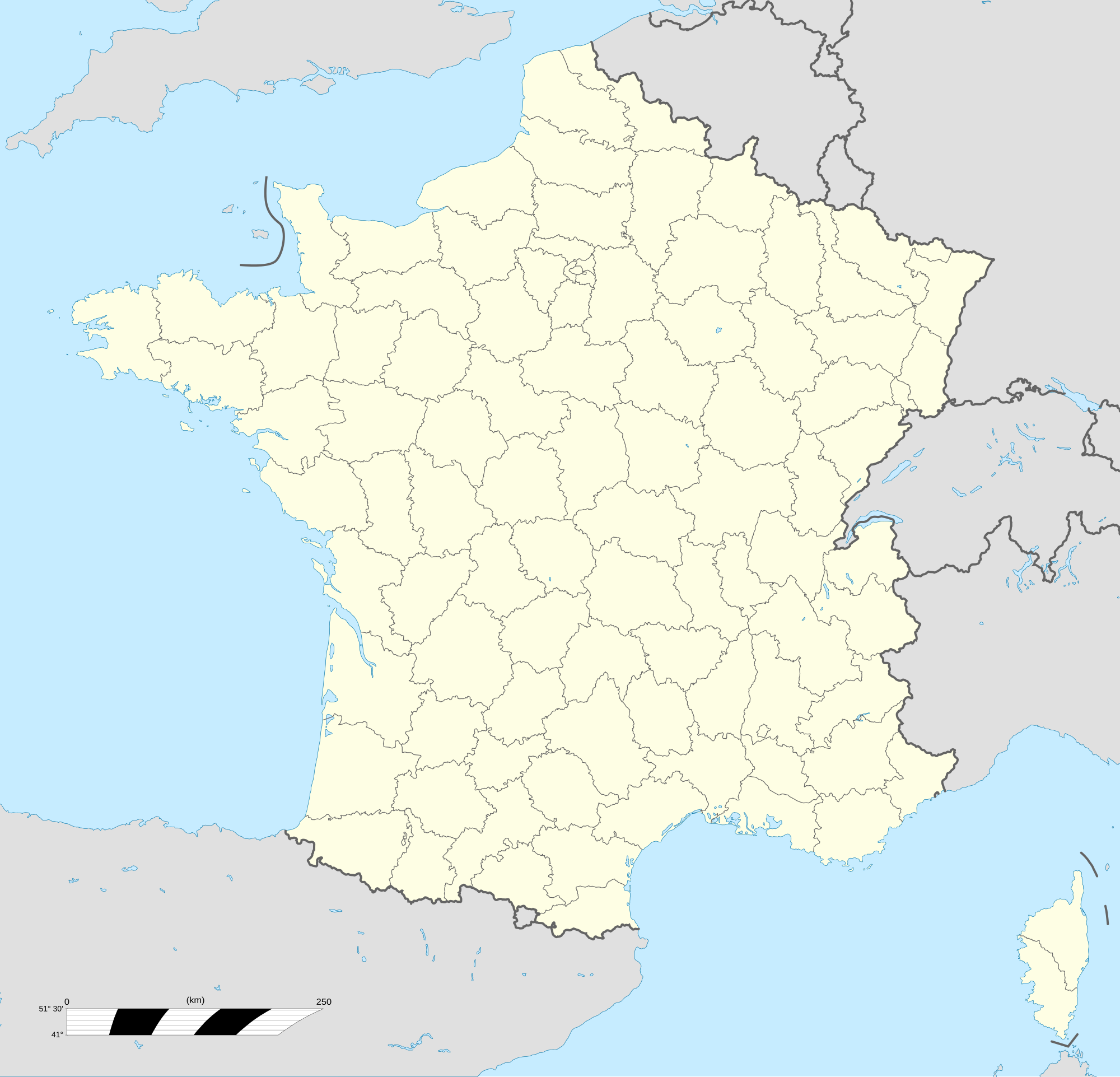
English: Blank administrative map of France for geo-location purpose, with departements.
Approximate scale : 1:3,000,000 Français : Carte administrative vierge de la France destinée à la géolocalisation, avec départements.
Échelle approximative : 1:3 000 000 Equirectangular projection, WGS84 datum
Geographic limits of the map :
|
||
| Date | |||
| Source |
Travail personnel
|
||
| Auteur | Eric Gaba (Sting - fr:Sting) | ||
| Autorisation (Réutilisation de ce fichier) |
|
||
| Autres versions |
|
||
| SVG information |


.svg)
Conditions d’utilisation
Moi, en tant que détenteur des droits d’auteur sur cette œuvre, je la publie sous les licences suivantes :

|
Vous avez la permission de copier, distribuer et modifier ce document selon les termes de la GNU Free Documentation License version 1.2 ou toute version ultérieure publiée par la Free Software Foundation, sans sections inaltérables, sans texte de première page de couverture et sans texte de dernière page de couverture. Un exemplaire de la licence est inclus dans la section intitulée GNU Free Documentation License. |
This file is licensed under the Creative Commons Attribution-Share Alike Attribution-Share Alike 4.0 International, 3.0 Unported, 2.5 Generic, 2.0 Generic and 1.0 Generic license.
- Vous êtes libre :
- de partager – de copier, distribuer et transmettre cette œuvre
- d’adapter – de modifier cette œuvre
- Sous les conditions suivantes :
- paternité – Vous devez donner les informations appropriées concernant l'auteur, fournir un lien vers la licence et indiquer si des modifications ont été faites. Vous pouvez faire cela par tout moyen raisonnable, mais en aucune façon suggérant que l’auteur vous soutient ou approuve l’utilisation que vous en faites.
- partage à l’identique – Si vous modifiez, transformez, ou vous basez sur cette œuvre, vous devez distribuer votre contribution sous la même licence ou une licence compatible avec celle de l’original.
Vous pouvez choisir l’une de ces licences.
Historique du fichier
Cliquer sur une date et heure pour voir le fichier tel qu'il était à ce moment-là.
| Date et heure | Vignette | Dimensions | Utilisateur | Commentaire | |
|---|---|---|---|---|---|
| actuel | 19 octobre 2017 à 15:53 | | 2 000 × 1 922 (783 kio) | Sting | No borders over the Lake of Constance |
| 7 novembre 2008 à 15:19 |  | 2 000 × 1 922 (784 kio) | Sting | + boundary for Channel Islands | |
| 23 août 2008 à 18:37 |  | 2 000 × 1 922 (782 kio) | Sting | Larger strokes for boundaries | |
| 25 juillet 2008 à 19:53 |  | 2 000 × 1 922 (782 kio) | Sting | Variable scale | |
| 25 juillet 2008 à 16:38 |  | 2 000 × 1 922 (785 kio) | Sting | Other countries' color ; - border | |
| 4 juillet 2008 à 22:26 |  | 2 000 × 1 922 (785 kio) | Sting | == Summary == {{Location|46|15|00|N|02|06|00|E|scale:10000000}} <br/> {{Information |Description={{en|Blank administrative map of France for geo-location purpose, with departements.<br/>Approximate scale : 1:3,000,000}} {{fr|Carte administr |
Utilisation du fichier
Les 6 pages suivantes utilisent ce fichier :
Usage global du fichier
Les autres wikis suivants utilisent ce fichier :
- Utilisation sur fr.wikinews.org
- Utilisation sur pt.wikipedia.org