
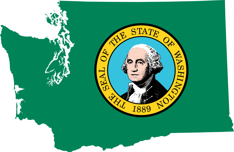
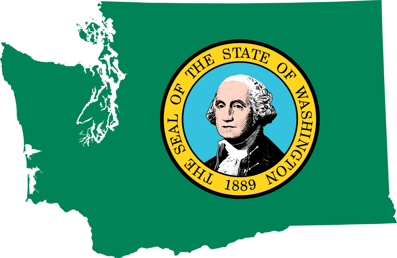
Fichier:Flag map of Washington.svg

Taille de cet aperçu PNG pour ce fichier SVG : 800 × 521 pixels. Autres résolutions : 320 × 208 pixels | 640 × 417 pixels | 1 024 × 667 pixels | 1 280 × 833 pixels | 2 560 × 1 667 pixels | 1 370 × 892 pixels.
Fichier d’origine (Fichier SVG, nominalement de 1 370 × 892 pixels, taille : 485 kio)
Ce fichier et sa description proviennent de Wikimedia Commons.
| Description | Flag map of Washington |
| Date | (UTC) |
| Source | |
| Auteur |
|
| Moi, propriétaire des droits d’auteur sur cette œuvre, la place dans le domaine public. Ceci s'applique dans le monde entier. Dans certains pays, ceci peut ne pas être possible ; dans ce cas : J’accorde à toute personne le droit d’utiliser cette œuvre dans n’importe quel but, sans aucune condition, sauf celles requises par la loi. |
Téléversé avec derivativeFX
Historique du fichier
Cliquer sur une date et heure pour voir le fichier tel qu'il était à ce moment-là.
| Date et heure | Vignette | Dimensions | Utilisateur | Commentaire | |
|---|---|---|---|---|---|
| actuel | 28 juin 2022 à 21:53 | | 1 370 × 892 (485 kio) | Flagvisioner | very minor code reduction |
| 28 juin 2022 à 21:52 |  | 1 370 × 892 (486 kio) | Flagvisioner | possibly fixed rendering issue & removed thick outlining | |
| 19 juin 2022 à 14:57 |  | 1 053 × 688 (924 kio) | John emil hernandez | to match flags all us states | |
| 11 avril 2011 à 01:00 |  | 5 920 × 3 856 (419 kio) | Fry1989 | {{Information |Description=Flag map of Washington |Source=*File:Eastern_Washington_map.svg *File:Flag_of_Washington.svg |Date=2011-04-10 22:56 (UTC) |Author=*File:Eastern_Washington_map.svg: *[[:File:Map_of_Washington_counties,_blank.svg |
Utilisation du fichier
Les 43 pages suivantes utilisent ce fichier :
- Comté d'Adams (Washington)
- Comté d'Asotin
- Comté d'Island
- Comté d'Okanogan
- Comté de Benton (Washington)
- Comté de Chelan
- Comté de Clallam
- Comté de Clark (Washington)
- Comté de Columbia (Washington)
- Comté de Cowlitz
- Comté de Douglas (Washington)
- Comté de Ferry
- Comté de Franklin (Washington)
- Comté de Garfield (Washington)
- Comté de Grant (Washington)
- Comté de Grays Harbor
- Comté de Jefferson (Washington)
- Comté de King (Washington)
- Comté de Kitsap
- Comté de Kittitas
- Comté de Klickitat
- Comté de Lewis (Washington)
- Comté de Lincoln (Washington)
- Comté de Mason (Washington)
- Comté de Pacific
- Comté de Pend Oreille
- Comté de Pierce (Washington)
- Comté de San Juan (Washington)
- Comté de Skagit
- Comté de Skamania
- Comté de Snohomish
- Comté de Spokane
- Comté de Stevens (Washington)
- Comté de Thurston (Washington)
- Comté de Wahkiakum
- Comté de Walla Walla
- Comté de Whatcom
- Comté de Whitman
- Comté de Yakima
- Comtés de l'État de Washington
- Utilisateur:Hégésippe Cormier/navigation comtés
- Modèle:Palette Comtés de l'État de Washington
- Projet:États-Unis/Palettes de navigation/Comtés américains par État
Usage global du fichier
Les autres wikis suivants utilisent ce fichier :
- Utilisation sur cy.wikipedia.org
- Utilisation sur en.wikipedia.org
- Argosy University, Seattle
- South Seattle College
- Tacoma Community College
- Cushman Dam No. 1
- Cushman Dam No. 2
- Clover Park Technical College
- Template:Washington-geo-stub
- Hurricane Ridge
- Adelphia College
- Town Hall Seattle
- Elbe Evangelical Lutheran Church
- Dark Divide
- Ashmead College
- Big Bend Community College
- University of Washington School of Public Health
- William Ross Rust House
- Patsy Clark Mansion
- Okanagan Trail
- South Puget Sound Community College
- Skagit Valley College
- Foster Business Library
- St. Paul's Mission
- Windy Pass (Alpine Lakes)
- Washington Community and Technical Colleges
- Lumber Exchange Building (South Bend, Washington)
- Eastern Washington University Press
- Antioch University Seattle
- Okanagan Basin
- Montvale Hotel
- McAlmond House
- Washington State University Press
- University of Washington College of Arts and Sciences
- Cloverfields
- Heritage University
- Olympia Brewery
- Emmanuel Episcopal Church (Eastsound, Washington)
- Fairweather–Trevitt House
- 1976 Democratic Party presidential primaries
- Northwest Film School
- Creaser Hotel
- McMillin Bridge
Voir davantage sur l’utilisation globale de ce fichier.