
Fichier:Europe location FRS.png

Taille de cet aperçu : 800 × 600 pixels. Autres résolutions : 320 × 240 pixels | 640 × 480 pixels | 1 024 × 768 pixels | 1 280 × 960 pixels | 1 600 × 1 200 pixels.
Fichier d’origine (1 600 × 1 200 pixels, taille du fichier : 716 kio, type MIME : image/png)
Ce fichier et sa description proviennent de Wikimedia Commons.
Description
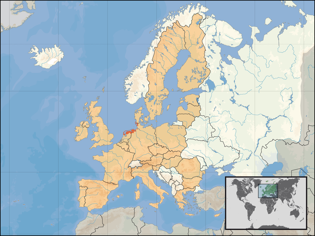
| Description | Location of the regions of Frisia in Europe; based on the other maps of Europe_location_... |
| Source | Travail personnel |
| Auteur | Gruna 1 |
Conditions d’utilisation
| Moi, propriétaire des droits d’auteur sur cette œuvre, la place dans le domaine public. Ceci s'applique dans le monde entier. Dans certains pays, ceci peut ne pas être possible ; dans ce cas : J’accorde à toute personne le droit d’utiliser cette œuvre dans n’importe quel but, sans aucune condition, sauf celles requises par la loi. |
Historique du fichier
Cliquer sur une date et heure pour voir le fichier tel qu'il était à ce moment-là.
| Date et heure | Vignette | Dimensions | Utilisateur | Commentaire | |
|---|---|---|---|---|---|
| actuel | 18 décembre 2010 à 23:23 | | 1 600 × 1 200 (716 kio) | Gruna 1~commonswiki | Without Dithmarschen and Cuxhaven |
| 11 janvier 2008 à 13:54 |  | 1 600 × 1 200 (566 kio) | Gruna 1~commonswiki | {{Information |Description=Location of the regions of Frisia in Europe; based on the other maps of Europe_location_... |Source=self-made |Date= |Author= Gruna 1 |Permission= |other_versions= }} |
Utilisation du fichier
La page suivante utilise ce fichier :
Usage global du fichier
Les autres wikis suivants utilisent ce fichier :
- Utilisation sur ar.wikipedia.org
- Utilisation sur bg.wikipedia.org
- Utilisation sur ca.wikipedia.org
- Utilisation sur de.wikipedia.org
- Utilisation sur en.wikipedia.org
- Utilisation sur gl.wikipedia.org
- Utilisation sur nds-nl.wikipedia.org
- Utilisation sur ru.wikipedia.org
- Utilisation sur www.wikidata.org