
Fichier:Carmarthenshire UK location map.svg

Taille de cet aperçu PNG pour ce fichier SVG : 769 × 600 pixels. Autres résolutions : 308 × 240 pixels | 616 × 480 pixels | 985 × 768 pixels | 1 280 × 998 pixels | 2 560 × 1 996 pixels | 1 425 × 1 111 pixels.
Fichier d’origine (Fichier SVG, nominalement de 1 425 × 1 111 pixels, taille : 1,29 Mio)
Ce fichier et sa description proviennent de Wikimedia Commons.
| Description |
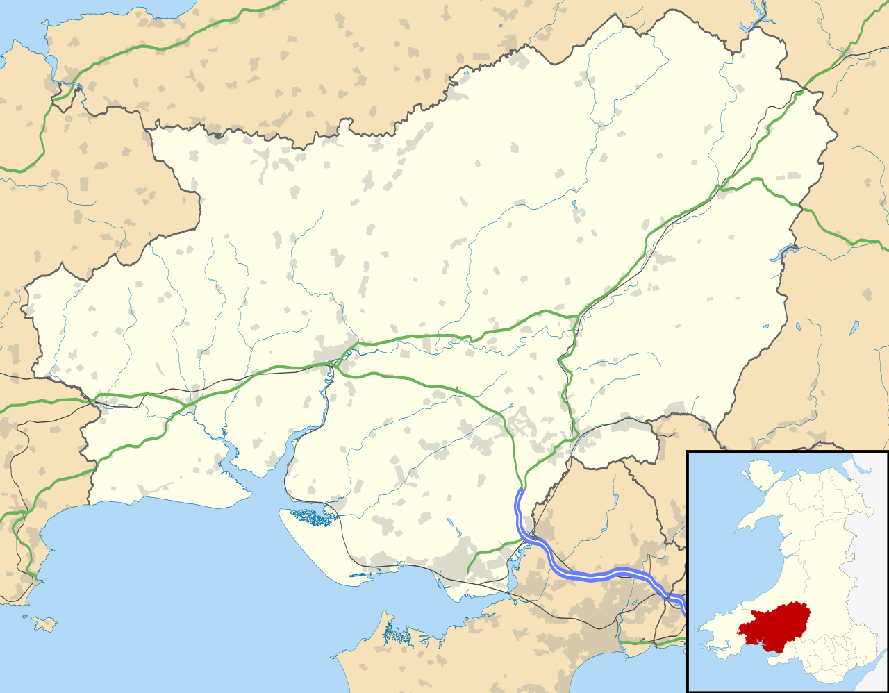
Blank map of Carmarthenshire, UK with the following information shown:
Equirectangular map projection on WGS 84 datum, with N/S stretched 160% Geographic limits:
|
| Date | |
| Source |
|
| Auteur | Nilfanion, created using Ordnance Survey data |
| Autorisation (Réutilisation de ce fichier) |
Ce fichier est disponible selon les termes de la licence Creative Commons Attribution – Partage dans les Mêmes Conditions 3.0 (non transposée). Attribution: Contains Ordnance Survey data © Crown copyright and database right
|
| Autres versions | File:Carmarthenshire UK map.svg - Blank map |
Historique du fichier
Cliquer sur une date et heure pour voir le fichier tel qu'il était à ce moment-là.
| Date et heure | Vignette | Dimensions | Utilisateur | Commentaire | |
|---|---|---|---|---|---|
| actuel | 26 septembre 2010 à 21:31 | | 1 425 × 1 111 (1,29 Mio) | Nilfanion | {{Information |Description=Blank map of Carmarthenshire, UK with the following information shown: *Administrative borders *Coastline, lakes and rivers *Roads and railways *Urban areas Equirectangular map projection on WGS 84 datum, |
Utilisation du fichier
Les 13 pages suivantes utilisent ce fichier :
Usage global du fichier
Les autres wikis suivants utilisent ce fichier :
- Utilisation sur ar.wikipedia.org
- Utilisation sur azb.wikipedia.org
- Utilisation sur ceb.wikipedia.org
- Utilisation sur cy.wikipedia.org
- Utilisation sur en.wikipedia.org
- List of monastic houses in Wales
- Carmarthenshire
- Llanelli
- Carmarthen
- Ammanford
- Llwynhendy
- Llandeilo
- Newcastle Emlyn
- Whitland
- Burry Port
- Kidwelly
- Llandovery
- Abergwili
- Laugharne
- Cenarth
- St Clears
- Glanamman
- Pendine Sands
- Pembrey Sands Air Weapons Range
- Pembrey
- Pembrey Airport
- Llanybydder
- Betws, Carmarthenshire
- Bancyfelin
- Carreg Cennen Castle
- Aber-arad
- Abergorlech
- Abernant, Carmarthenshire
- Felinfoel
- Myddfai
- Cross Hands
- Brynamman
- Pantyffynnon
- Ferryside television relay station
- Ferryside
- Llansteffan
- Kidwelly Castle
- Garnant
- Eglwyscummin
- Pencader, Carmarthenshire
- Pontyberem
- Llangain
- Bryn, Llanelli
- Pemberton, Carmarthenshire
- Dafen, Carmarthenshire
Voir davantage sur l’utilisation globale de ce fichier.