
Fichier:Cape Futtsu Aerial photograph.1974.jpg

Taille de cet aperçu : 799 × 233 pixels. Autres résolutions : 320 × 93 pixels | 640 × 187 pixels | 1 024 × 299 pixels | 1 280 × 373 pixels | 2 560 × 747 pixels | 11 834 × 3 451 pixels.
Fichier d’origine (11 834 × 3 451 pixels, taille du fichier : 29,18 Mio, type MIME : image/jpeg)
Ce fichier et sa description proviennent de Wikimedia Commons.
Description
| Description |
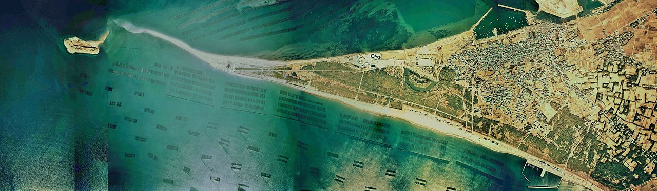
English: Cape Futtsu Aerial photograph.1974
日本語: 富津岬(千葉県富津市)付近の空中写真。Ckt-74-14_c3の1,2,3,4,5,6,7,8、合kうぃ8枚を合成作成。 |
| Date | |
| Source | 国土情報ウェブマッピングシステム |
| Auteur | 国土交通省 |
Conditions d’utilisation

|
Le détenteur des droits d’auteur de ce fichier, Ministère du Territoire, des Infrastructures, des Transports et du Tourisme, autorise n’importe qui à l’utiliser pour n’importe quelle utilisation, pourvu que le détenteur des droits d’auteur soit correctement attribué. La redistribution, les œuvres dérivées, l’utilisation commerciale et toutes les autres utilisations sont autorisées. |
Attribution:
Copyright © National Land Image Information (Color Aerial Photographs), Ministry of Land, Infrastructure, Transport and Tourism
|
 |
This image is copyrighted by the Ministry of Land, Infrastructure, Transport and Tourism of Japan. For terms of use, see the stipulation to use of National Land Information (in Japanese) and message from MLIT (in Japanese and English). When you display this image on an article, include the following phrase in the description: "Made based on National Land Image Information (Color Aerial Photographs), Ministry of Land, Infrastructure, Transport and Tourism".
|
Historique du fichier
Cliquer sur une date et heure pour voir le fichier tel qu'il était à ce moment-là.
| Date et heure | Vignette | Dimensions | Utilisateur | Commentaire | |
|---|---|---|---|---|---|
| actuel | 13 octobre 2013 à 07:30 | 11 834 × 3 451 (29,18 Mio) | さかおり | {{Information |Description ={{en|1=Cape Futtsu Aerial photograph.1974}} {{ja|1=富津岬(千葉県富津市)付近の空中写真。Ckt-74-14_c3の1,2,3,4,5,6,7,8、合kうぃ8枚を合成作成。}} |Source =国土情報ウェブマッ... |
Utilisation du fichier
La page suivante utilise ce fichier :
Usage global du fichier
Les autres wikis suivants utilisent ce fichier :
- Utilisation sur ja.wikipedia.org