
Fichier:Cambodia Ratanakiri locator map.svg

Taille de cet aperçu PNG pour ce fichier SVG : 664 × 600 pixels. Autres résolutions : 266 × 240 pixels | 531 × 480 pixels | 850 × 768 pixels | 1 133 × 1 024 pixels | 2 267 × 2 048 pixels | 1 347 × 1 217 pixels.
Fichier d’origine (Fichier SVG, nominalement de 1 347 × 1 217 pixels, taille : 751 kio)
Ce fichier et sa description proviennent de Wikimedia Commons.
| Description |
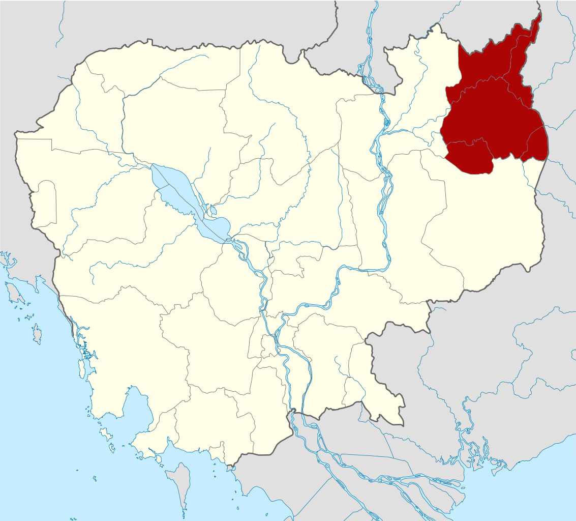
Deutsch: Positionskarte von Kambodscha Quadratische Plattkarte, N-S-Streckung 105 %. Geographische Begrenzung der Karte: * N: 14.8° N * S: 9.9° N * W: 102.2° O * O: 107.9° O Equirectangular projection, N/S stretching 105 %. Geographic limits of the map: * N: 14.8° N * S: 9.9° N * W: 102.2° E * E: 107.9° E |
| Date | (UTC) |
| Source | Travail personnel basé sur : Cambodia location map.svg de NordNordWest |
| Auteur | Kmusser |
| SVG information | Le code de ce fichier SVG n'est pas valide en raison de 278 erreurs. Cette carte W3C-invalide a été créée avec Adobe Illustrator, et avec Inkscape. |
| Cette image a été retouchée, ce qui signifie qu'elle a été modifiée par ordinateur et est différente de l'image d'origine. Liste des modifications : highlighted Ratanakiri Province. L'image d'origine se trouve ici : Cambodia location map.svg:
|
Moi, en tant que détenteur des droits d’auteur sur cette œuvre, je la publie sous les licences suivantes :
Ce fichier est disponible selon les termes de la licence Creative Commons Attribution – Partage dans les Mêmes Conditions 3.0 (non transposée).
- Vous êtes libre :
- de partager – de copier, distribuer et transmettre cette œuvre
- d’adapter – de modifier cette œuvre
- Sous les conditions suivantes :
- paternité – Vous devez donner les informations appropriées concernant l'auteur, fournir un lien vers la licence et indiquer si des modifications ont été faites. Vous pouvez faire cela par tout moyen raisonnable, mais en aucune façon suggérant que l’auteur vous soutient ou approuve l’utilisation que vous en faites.
- partage à l’identique – Si vous modifiez, transformez, ou vous basez sur cette œuvre, vous devez distribuer votre contribution sous la même licence ou une licence compatible avec celle de l’original.

|
Vous avez la permission de copier, distribuer et modifier ce document selon les termes de la GNU Free Documentation License version 1.2 ou toute version ultérieure publiée par la Free Software Foundation, sans sections inaltérables, sans texte de première page de couverture et sans texte de dernière page de couverture. Un exemplaire de la licence est inclus dans la section intitulée GNU Free Documentation License. |
Vous pouvez choisir l’une de ces licences.
Journal des téléversements d’origine
This image is a derivative work of the following images:
- File:Cambodia_location_map.svg licensed with Cc-by-sa-3.0, GFDL
- 2009-02-12T21:35:03Z NordNordWest 1347x1217 (728478 Bytes) smaller file
- 2009-02-12T20:56:36Z NordNordWest 1347x1216 (1074945 Bytes) {{Information |Description= {{de|Positionskarte von [[:de:Kambodscha|Kambodscha]]}} Quadratische Plattkarte, N-S-Streckung 105 %. Geographische Begrenzung der Karte: * N: 14.8° N * S: 9.9° N * W: 102.2° O * O: 107.9° O {{
Historique du fichier
Cliquer sur une date et heure pour voir le fichier tel qu'il était à ce moment-là.
| Date et heure | Vignette | Dimensions | Utilisateur | Commentaire | |
|---|---|---|---|---|---|
| actuel | 8 juin 2010 à 17:26 | | 1 347 × 1 217 (751 kio) | Kmusser | {{Information |Description={{de|Positionskarte von Kambodscha}} Quadratische Plattkarte, N-S-Streckung 105 %. Geographische Begrenzung der Karte: * N: 14.8° N * S: 9.9° N * W: 102.2° O * O: 107.9° O {{en|Location map of [[:en:Cambod |
Utilisation du fichier
La page suivante utilise ce fichier :
Usage global du fichier
Les autres wikis suivants utilisent ce fichier :
- Utilisation sur bg.wikipedia.org
- Utilisation sur ceb.wikipedia.org
- Utilisation sur en.wikipedia.org
- Ratanakiri province
- Banlung
- Lake Yeak Laom
- Ka Choung
- Template:Ratanakiri province
- Andoung Meas District
- Banlung municipality
- Bar Kaev District
- Koun Mom District
- Lumphat District
- Ou Chum District
- Ou Ya Dav District
- Ta Veaeng District
- Veun Sai District
- Kak (commune)
- Keh Chong Commune
- La Minh Commune
- Lung Khung
- Hat Pak
- Ka Choun
- Kaoh Pang
- Kaoh Peak
- Kok Lak
- Pa Kalan
- Ban Pong (commune)
- Phnum Kok
- Veun Sai (commune)
- Bar Kham
- Lum Choar
- Pak Nhai
- Sesan Commune
- Saom Thum
- Ya Tung
- Pate, Cambodia
- Cha Ung
- Pouy (commune)
- Aekakpheap
- Kalai, Cambodia
- Ou Chum (commune)
- Sameakki
- L'ak
- Yeak Laom
- Wikipedia:Graphics Lab/Map workshop/Archive/Feb 2010
- Category:Geography of Ratanakiri province
- Project Copper
- Ratanakiri (National Assembly constituency)
- Utilisation sur fa.wikipedia.org
- Utilisation sur fi.wikipedia.org
Voir davantage sur l’utilisation globale de ce fichier.