
Fichier:Bromley London UK location map.svg

Taille de cet aperçu PNG pour ce fichier SVG : 573 × 600 pixels. Autres résolutions : 229 × 240 pixels | 459 × 480 pixels | 734 × 768 pixels | 979 × 1 024 pixels | 1 957 × 2 048 pixels | 1 210 × 1 266 pixels.
Fichier d’origine (Fichier SVG, nominalement de 1 210 × 1 266 pixels, taille : 2,45 Mio)
Ce fichier et sa description proviennent de Wikimedia Commons.
| Description |
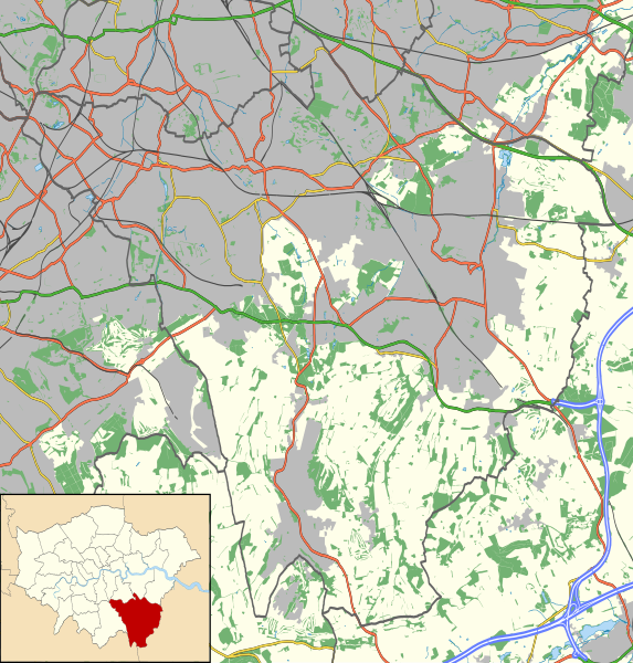
Location map of the London Borough of Bromley with the following information shown:
Equirectangular map projection on WGS 84 datum, with N/S stretched 160% Geographic limits:
|
| Date | |
| Source |
|
| Auteur | Nilfanion |
| Autorisation (Réutilisation de ce fichier) |
Ce fichier est disponible selon les termes de la licence Creative Commons Attribution – Partage dans les Mêmes Conditions 3.0 (non transposée). Attribution: Contains Ordnance Survey data © Crown copyright and database right
|
Historique du fichier
Cliquer sur une date et heure pour voir le fichier tel qu'il était à ce moment-là.
| Date et heure | Vignette | Dimensions | Utilisateur | Commentaire | |
|---|---|---|---|---|---|
| actuel | 16 novembre 2011 à 00:59 | | 1 210 × 1 266 (2,45 Mio) | Nilfanion | {{Information |Description=Location map of the London Borough of Bromley with the following information shown: *{{legend|#646464|Ward boundaries}} *{{legend|#667fff|Motorways}} *{{legend|#4cb336|Primary routes}} *{{legend|# |
Utilisation du fichier
La page suivante utilise ce fichier :
Usage global du fichier
Les autres wikis suivants utilisent ce fichier :
- Utilisation sur ar.wikipedia.org
- Utilisation sur ceb.wikipedia.org
- Utilisation sur en.wikipedia.org
- Bethlem Royal Hospital
- Down House
- Princess Royal University Hospital
- Beckenham Beacon
- Beckenham Hospital
- Bromley Palace
- Module:Location map/data/United Kingdom London Bromley/doc
- The Daylight Inn
- The Bull Inn, St Paul's Cray
- Old Jail, Biggin Hill
- Kings Arms, Leaves Green
- Module:Location map/data/United Kingdom London Bromley
- Orpington Hospital
- Bromley Hospital
- Bromley Town Hall
- Anerley Town Hall
- Utilisation sur fa.wikipedia.org
- Utilisation sur kn.wikipedia.org
- Utilisation sur si.wikipedia.org
- Utilisation sur tr.wikipedia.org
- Utilisation sur war.wikipedia.org