
Fichier:Brent London UK blank ward map.svg

Taille de cet aperçu PNG pour ce fichier SVG : 750 × 600 pixels. Autres résolutions : 300 × 240 pixels | 600 × 480 pixels | 960 × 768 pixels | 1 280 × 1 024 pixels | 2 560 × 2 048 pixels | 1 425 × 1 140 pixels.
Fichier d’origine (Fichier SVG, nominalement de 1 425 × 1 140 pixels, taille : 375 kio)
Ce fichier et sa description proviennent de Wikimedia Commons.
| Description |
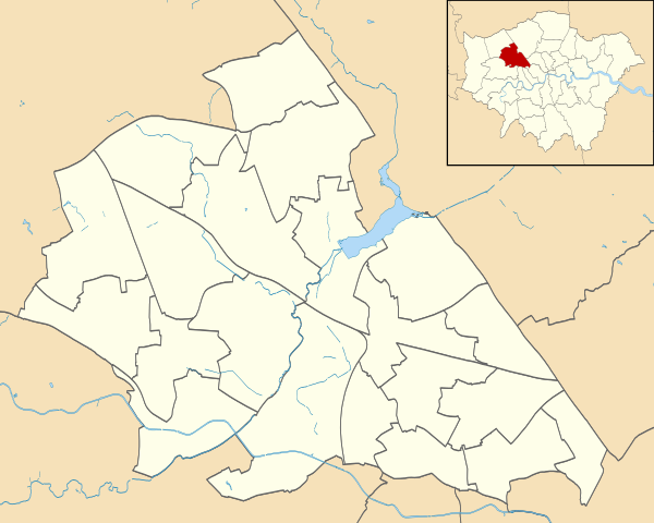
Blank map of the London Borough of Brent, showing electoral wards. Equirectangular map projection on WGS 84 datum, with N/S stretched 160% Geographic limits:
|
| Date | |
| Source |
|
| Auteur | Nilfanion |
| Autorisation (Réutilisation de ce fichier) |
Ce fichier est disponible selon les termes de la licence Creative Commons Attribution – Partage dans les Mêmes Conditions 3.0 (non transposée). Attribution: Contains Ordnance Survey data © Crown copyright and database right
|
Historique du fichier
Cliquer sur une date et heure pour voir le fichier tel qu'il était à ce moment-là.
| Date et heure | Vignette | Dimensions | Utilisateur | Commentaire | |
|---|---|---|---|---|---|
| actuel | 28 juillet 2011 à 23:51 | | 1 425 × 1 140 (375 kio) | Nilfanion | {{Information |Description=Blank map of the London Borough of Brent, showing electoral wards. Equirectangular map projection on WGS 84 datum, with N/S stretched 160% Geographic limits: *West: 0.07E *East: 0.23E *North: 51.5 |
Utilisation du fichier
La page suivante utilise ce fichier :
Usage global du fichier
Les autres wikis suivants utilisent ce fichier :
- Utilisation sur en.wikipedia.org
- Utilisation sur he.wikipedia.org
- Utilisation sur pl.wikipedia.org
- Stadion Wembley
- Stadion Wembley (1923)
- Kenton (stacja kolejowa)
- South Kenton (stacja)
- North Wembley (stacja)
- Wembley Central
- Stonebridge Park (stacja)
- Harlesden (stacja kolejowa)
- Willesden Junction (stacja)
- Kensal Green (stacja metra)
- Queen’s Park (stacja kolejowa)
- Kilburn Park
- Kingsbury (stacja metra)
- Queensbury (stacja metra)
- BAPS Shri Swaminarayan Mandir w Londynie
- Wembley Park
- Neasden
- Dollis Hill (stacja metra)
- Willesden Green (stacja metra)
- Kilburn (stacja metra)
- Kensal Rise (stacja kolejowa)
- Brondesbury Park (stacja kolejowa)
- Sudbury & Harrow Road
- Wembley Stadium (stacja kolejowa)
- Wembley Arena
- Alperton (stacja metra)
- Brondesbury (stacja kolejowa)
- Moduł:Mapa/dane/Brent
- Moduł:Mapa/dane/GB-BEN
- Utilisation sur pl.wikibooks.org