
Fichier:Baldhill Dam Sheyenne River.jpg

Taille de cet aperçu : 800 × 459 pixels. Autres résolutions : 320 × 183 pixels | 640 × 367 pixels | 1 024 × 587 pixels | 1 500 × 860 pixels.
Fichier d’origine (1 500 × 860 pixels, taille du fichier : 388 kio, type MIME : image/jpeg)
Ce fichier et sa description proviennent de Wikimedia Commons.
| Description |
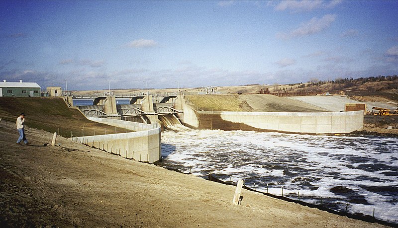
English: Baldhill Dam on the Sheyenne River near Valley City, North Dakota, USA. The photograph was taken during the spring 1996 flood on the Red River of the North. |
|||
| Date | ||||
| Source |
U.S. Army Corps of Engineers Digital Visual Library Image page Image description page Digital Visual Library home page |
|||
| Auteur | Ken Gardner, U.S. Army Corps of Engineers | |||
| Autorisation (Réutilisation de ce fichier) |
|
|||
| Lieu | Valley City, North Dakota, USA |
| Lieu de la prise de vue | | Voir cet endroit et d’autres images sur : OpenStreetMap |
|---|
Historique du fichier
Cliquer sur une date et heure pour voir le fichier tel qu'il était à ce moment-là.
| Date et heure | Vignette | Dimensions | Utilisateur | Commentaire | |
|---|---|---|---|---|---|
| actuel | 9 juin 2011 à 23:06 | | 1 500 × 860 (388 kio) | Finetooth | Cropped to eliminate the shadow of the photographer; adjusted contrast. |
| 7 avril 2007 à 03:57 |  | 1 500 × 1 000 (338 kio) | DanMS | {{Information | Description = {{en|Baldhill Dam on the Sheyenne River near Valley City, North Dakota, USA. The photograph was taken during the spring 1996 flood on the Red River of the North.}} | Source = U.S. Army Corps of Engineers Digital Vi |
Utilisation du fichier
La page suivante utilise ce fichier :
Usage global du fichier
Les autres wikis suivants utilisent ce fichier :
- Utilisation sur arz.wikipedia.org
- Utilisation sur bh.wikipedia.org
- Utilisation sur ceb.wikipedia.org
- Utilisation sur de.wikipedia.org
- Utilisation sur en.wikipedia.org
- Utilisation sur es.wikipedia.org
- Utilisation sur fa.wikipedia.org
- Utilisation sur la.wikipedia.org
- Utilisation sur pl.wikipedia.org
- Utilisation sur sr.wikipedia.org
- Utilisation sur www.wikidata.org
- Utilisation sur zh.wikipedia.org