
Fichier:Andaman Is location blank.png
Taille de cet aperçu : 356 × 600 pixels. Autres résolutions : 142 × 240 pixels | 399 × 672 pixels.
Fichier d’origine (399 × 672 pixels, taille du fichier : 37 kio, type MIME : image/png)
Ce fichier et sa description proviennent de Wikimedia Commons.
Description
| Description | |
| Source | La source n’a pas pu être reconnue automatiquement. « Travail personnel » supposé (étant donné la revendication de droit d’auteur). |
| Auteur | L’auteur n’a pas pu être identifié automatiquement. Il est supposé qu'il s'agit de : CJLL Wright (étant donné la revendication de droit d’auteur). |
Conditions d’utilisation
Moi, en tant que détenteur des droits d’auteur sur cette œuvre, je la publie sous les licences suivantes :

|
Vous avez la permission de copier, distribuer et modifier ce document selon les termes de la GNU Free Documentation License version 1.2 ou toute version ultérieure publiée par la Free Software Foundation, sans sections inaltérables, sans texte de première page de couverture et sans texte de dernière page de couverture. Un exemplaire de la licence est inclus dans la section intitulée GNU Free Documentation License. |
| Ce fichier est disponible selon les termes de la licence Creative Commons Attribution – Partage dans les Mêmes Conditions 3.0 (non transposée). | ||
| ||
| Ce bandeau de licence a été ajouté à ce fichier dans le cadre de la procédure de mise à jour des licences des images sous GFDL. |
Ce fichier est disponible selon les termes de la licence Creative Commons Attribution 2.5 Générique.
- Vous êtes libre :
- de partager – de copier, distribuer et transmettre cette œuvre
- d’adapter – de modifier cette œuvre
- Sous les conditions suivantes :
- paternité – Vous devez donner les informations appropriées concernant l'auteur, fournir un lien vers la licence et indiquer si des modifications ont été faites. Vous pouvez faire cela par tout moyen raisonnable, mais en aucune façon suggérant que l’auteur vous soutient ou approuve l’utilisation que vous en faites.
Vous pouvez choisir l’une de ces licences.
Historique du fichier
Cliquer sur une date et heure pour voir le fichier tel qu'il était à ce moment-là.
| Date et heure | Vignette | Dimensions | Utilisateur | Commentaire | |
|---|---|---|---|---|---|
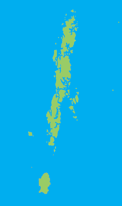
| actuel | 22 décembre 2005 à 02:38 | | 399 × 672 (37 kio) | CJLL Wright | Blank outline map of the Andaman Islands. |
Utilisation du fichier
La page suivante utilise ce fichier :
Usage global du fichier
Les autres wikis suivants utilisent ce fichier :
- Utilisation sur cs.wikinews.org
- Utilisation sur en.wikipedia.org
- Great Nicobar Biosphere Reserve
- Great Andaman
- Mount Thullier
- Ten Degree Channel
- Andaman district
- Port Blair tehsil
- Rangat
- Ferrargunj
- Nancowry tehsil
- Saddle Peak National Park
- North Button Island National Park
- Galathea National Park
- Template:AndamanNicobar-geo-stub
- Campbell Bay National Park
- Rani Jhansi Marine National Park
- Bombooflat
- Garacharma
- Little Nicobar
- Teressa Island
- Henry Lawrence Island
- Strait Island
- Saddle Peak (Andaman Islands)
- Harinagar, Mayabunder
- Manglutan
- Shibpur, Diglipur
- South Cinque Island
- Bluff Island (Andaman Islands)
- The Sisters (Andaman Islands)
- West Sister Island (Andaman Islands)
- Ramnagar, Diglipur
- Kadamtala, Rangat
- Port Cornwallis
- Landfall Island
- North Reef Island (Andaman Islands)
- Tushnabad
- Kalpong River
- Arong, Car Nicobar
- Tillangchong
- Shompen Village-B
- Kausalya Nagar
- Battimalv Island
- Car Nicobar Subdivision
- Paira Island
- Man Island (Nicobar Islands)
- Bompuka Island
- Kamorta Island
- Nancowry Subdivision
- Meroe Island
- Kondul Island
Voir davantage sur l’utilisation globale de ce fichier.